-
Hello, please take a minute to check out our awesome content, contributed by the wonderful members of our community. We hope you'll add your own thoughts and opinions by making a free account!
You are using an out of date browser. It may not display this or other websites correctly.
You should upgrade or use an alternative browser.
You should upgrade or use an alternative browser.
Pattern Januworry
- Thread starter SD
- Start date
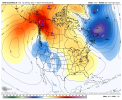
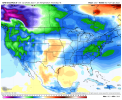
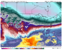
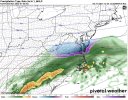
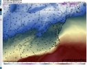
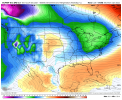
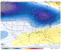
The euro control has been sniffing something out in the 240-300 range over the last three days. We’ll see.Lol that HP footprint out of Canada View attachment 99042View attachment 99043
iGRXY
Member
Definitely a good thing to see the GEFS to continue progressing cold shots in. Even if we warm afterwards it’s nice to see the pattern at least be progressive so we don’t get stuck in the SER and have periods of warm and cold. Those East of the Apps can still get a few more cool days in there even during the ridge from CAD so at a minimum it’s nice seeing that back on the models.
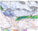
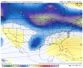
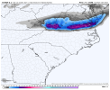
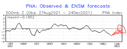
Might get something in VA out of thatSlow down the southern stream wave a bit and we would of had a fantasy storm on the euro View attachment 99051View attachment 99052View attachment 99053
Very close to CAD issuesSlow down the southern stream wave a bit and we would of had a fantasy storm on the euro View attachment 99051View attachment 99052View attachment 99053
iGRXY
Member
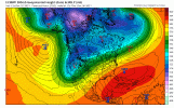
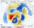
I actually like this look if we can drop that vortex close to the lakes and slow down the vort in the SW.We’re close to squeezing that ridge to where it retrogrades north of AK, sort of like what grit alluded to on twitter View attachment 99050
This is kind of what I was trying to point out yesterday .. TPV slides south we get a better possibility for cold and winter weather but if it slides north this becomes severe weather … regardless we are looking at good precip which we needI actually like this look if we can drop that vortex close to the lakes and slow down the vort in the SW.
that evolution around AK/north AK and the NPAC ridge headed poleward is what interest me most about that euro run
ajr
Member
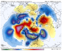
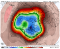
Stronger -NAO as wellHuge fan of this trend to a cutoff ridge north of Alaska View attachment 99064
The EPS definitely showed improvements in the Pacific without a question. However the EPS isn't the only ensemble that show us heading in the right direction. The GEFS also makes improvements as wellHuge fan of this trend to a cutoff ridge north of Alaska View attachment 99064
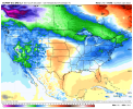
This is how the GEFS looks at 366 Hours out vs 360
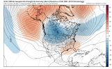
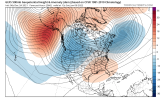
Notice how the GOA ridge have moved significantly northward towards AK and the North Pole. Also I see less of a -PNA/western Cold dump and therefore less of a SE ridge. The NAO doesn't seem too bad ether. Still have work to do,but we would be getting closer towards a true pattern change. Keeping trending like this and maybe we get a pattern that favorable for cold(even severe cold)and above average chances for winter storms in the SE US.
Yep, our goal here is less amped GOA ridge and higher amped ridge north of AK (like the EPS) 2018 is a great example of the similar cutoff ridge north of AK but in 2018 we matched a perfect western ridge with the cutoff ridge north of AK, really hard to do that together, 2014 is a second oneThe EPS definitely showed improvements in the Pacific without a question. However the EPS isn't the only ensemble that show us heading in the right direction. The GEFS also makes improvements as well
This is how the GEFS looks at 366 Hours out vs 360
View attachment 99072
View attachment 99073
Notice how the GOA ridge have moved significantly northward towards AK and the North Pole. Also I see less of a -PNA/western Cold dump and therefore less of a SE ridge. The NAO doesn't seem too bad ether. Still have work to do,but we would be getting closer towards a true pattern change. Keeping trending like this and maybe we get a pattern that favorable for cold(even severe cold)and above average chances for winter storms in the SE US.

