I don't know what BAM said, tbh. Grit was being facetious because the GFS was doing GFS things.Is related to what Bam was hinting at earlier about updating their post mid-January forecast?
-
Hello, please take a minute to check out our awesome content, contributed by the wonderful members of our community. We hope you'll add your own thoughts and opinions by making a free account!
You are using an out of date browser. It may not display this or other websites correctly.
You should upgrade or use an alternative browser.
You should upgrade or use an alternative browser.
Pattern January Joke
- Thread starter SD
- Start date
Yes, but it shouldn't be, according to the GFS, yet it is, according to the GFS.Trough in western US? No
The argument can be made that other things could be causing the jet to retract (MJO or other tropical forcing / or said tropical forcing in conjunction with the low frequency trop forcing signal - i.e. ENSO)...but anytime I've seen a +EAMT look like that on the models, the model throws out a jet extension over the following week, or like I stated, at a minimum, it keeps momentum maintained in the jetYes, but it shouldn't be, according to the GFS, yet it is, according to the GFS.
Last edited:
I have been listening to JB for around 40 years. Many get upset because he doesn't put snow in their backyard. He will tell you to listen to your locals however his job is to see it long range. Nobody has been more accurate than him on long range pattern recognition. Is he always right? No, but hits more than most. He is also good at hurricane prediction and generally does good. This year, everybody missed on hurricanes. Funny thing when he misses he will admit it. Some like to bash him only follow his tweets. I have purchased his site from accuweather to weatherbell as it helps us for our work both in winter months and non winter months. I know several state DOT follow him for planning ahead as well. One thing about him is he doesn't change everytime a model changed like many do. He does have on his site now where you can give your forecast and compare to his. I guess those who think he is horrible should try that. I am sure he will retire sometime and will need somebody to replace him. For the record he said alot LOOKS like 1985 so when temps don't get as cold as they did in 1985 doesn't mean he missed it. He even mentioned 2014 a week or so ago as did BAM and WXSOUTH.I was going to post some things from JB, but every time I do, you get these same few on here that ALWAYS know more than JB. But they are always here telling the Pro Mets where they are wrong, etc... They really amaze me with their wealth of knowledge.lol
When the models started showing the warm up that's coming he already mentioned that earlier in December, so some started cliff diving. Now there are others that sre seeing what he has been talking about so who knows maybe he will be right once again on pattern recognition. He never said we would get snow after snow. Did say this set up could produce though farther south. We shall see. BTW Happy New Years!!
Stormlover
Member
Is Wxsouth just a paid thing now?I have been listening to JB for around 40 years. Many get upset because he doesn't put snow in their backyard. He will tell you to listen to your locals however his job is to see it long range. Nobody has been more accurate than him on long range pattern recognition. Is he always right? No, but hits more than most. He is also good at hurricane prediction and generally does good. This year, everybody missed on hurricanes. Funny thing when he misses he will admit it. Some like to bash him only follow his tweets. I have purchased his site from accuweather to weatherbell as it helps us for our work both in winter months and non winter months. I know several state DOT follow him for planning ahead as well. One thing about him is he doesn't change everytime a model changed like many do. He does have on his site now where you can give your forecast and compare to his. I guess those who think he is horrible should try that. I am sure he will retire sometime and will need somebody to replace him. For the record he said alot LOOKS like 1985 so when temps don't get as cold as they did in 1985 doesn't mean he missed it. He even mentioned 2014 a week or so ago as did BAM and WXSOUTH.
When the models started showing the warm up that's coming he already mentioned that earlier in December, so some started cliff diving. Now there are others that sre seeing what he has been talking about so who knows maybe he will be right once again on pattern recognition. He never said we would get snow after snow. Did say this set up could produce though farther south. We shall see. BTW Happy New Years!!
Is Wxsouth just a paid thing now?
Yes, but you might can get some free on Facebook. Just look for Weather South on Facebook. His paid site is extremely affordable.
Sent from my iPhone using Tapatalk
He doesnt post but every few daysYes, but you might can get some free on Facebook. Just look for Weather South on Facebook. His paid site is extremely affordable.
Sent from my iPhone using Tapatalk
NBAcentel
Member
Gotta manifest that Manitoba mauler look into something, I believe, just for twister 
NBAcentel
Member
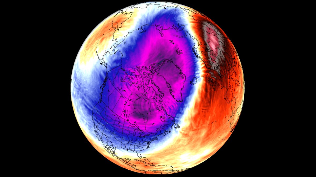
I will admit though, this is making me nervous, that Alaskan vortex/trough is become rather hard to remove this winter, GDPS/GFS wrecks our pattern with it 
NBAcentel
Member
Oth if you can clean these looks up some 

Yeah that AK low is trending stronger, and it feels like the stronger it gets, the harder the pattern has to work to flip to western ridging. We’ll see how it goesI will admit though, this is making me nervous, that Alaskan vortex/trough is become rather hard to remove this winter, GDPS/GFS wrecks our pattern with it View attachment 180845
The end of the 0z GFS looked better for us in the east but it seems that cold in Alaska wants to hang on. Wish we could get the trough in the east a little sharper.
Big changes late in the Euro. Alaska ridge going up. Not wall to wall cold by any means but there’s some shots of cold in the east.
Not showing it, but dumps some vodka cold out west at the end of the run

Not showing it, but dumps some vodka cold out west at the end of the run
So the bad news...probably going to break some record warm lows next Friday morning, really solid agreement with the GFS/Canadian/EuroAI.


accu35
Member
Much better Euro run. Definitely can see the cold bleeding east with each runBig changes late in the Euro. Alaska ridge going up. Not wall to wall cold by any means but there’s some shots of cold in the east.
Not showing it, but dumps some vodka cold out west at the end of the run
View attachment 180851
tennessee storm
Member
Most on not almost will goMuch better Euro run. Definitely can see the cold bleeding east with each run
Northeast
NBAcentel
Member
Surprised we havnt seen a fantasy run yet with this 
We absolutely destroy our source region on the 06z GFS AI.Surprised we havnt seen a fantasy run yet with this View attachment 180857
To Jay's point though, there is something that can creep up on us faster than all the other past 300 hour out stuff we've been trying to figure out. That trough signal I mentioned just past day 10 yesterday. 12z Euro a look. Would be insane to sneak a Winter weather event out of it.Surprised we havnt seen a fantasy run yet with this View attachment 180857
NBAcentel
Member
AIFS ens looks really good, probably the best ens run of the pattern change yet
packfan98
Moderator
I thought the 5H pattern looked great, but it didn’t look like there was a lot of cold air to work with. Seems to be a newer wrinkle. No more Barney colors on the map in North America.AIFS ens looks really good, probably the best ens run of the pattern change yet
Yeh I’ve noticed that the last day or so. We don’t need a Feb 2024 with empty troughs.I thought the 5H pattern looked great, but it didn’t look like there was a lot of cold air to work with. Seems to be a newer wrinkle. No more Barney colors on the map in North America.
NBAcentel
Member
Probably would take some time to get the Barney’s back, but hey peak climo, and the progression here is really nice, big initial +PNA ridge, then retrogression to a big -EPO, this progression would get cold back rather quickly, and would bring chances back rather quickly of trackable events. You can see the gates open as it retrogrades to AlaskaI thought the 5H pattern looked great, but it didn’t look like there was a lot of cold air to work with. Seems to be a newer wrinkle. No more Barney colors on the map in North America.


Last edited:
Yeh we don’t need super cold in the heart of Winter. It’s actually a pretty cold run.Probably would take some time to get the Barney’s back, but hey peak climo, and the progression here is really nice, big initial +PNA ridge, then retrogression to a big -EPO, this progression would get cold back rather quickly, and would bring chances back rather quickly of trackable events View attachment 180858View attachment 180859View attachment 180858

Brent
Member
Wow it's raining. That's the first time in over a month haha
Maybe the pattern is slowly changing despite the warmup next week
Maybe the pattern is slowly changing despite the warmup next week
packfan98
Moderator
Yeah, that looks great. I was actually looking at the GEFS AI instead of the Euro. My mistake. At least they are both showing similar upper air patterns. Give me a ridge in the west and trough in the east, and I’ll take my chances.Probably would take some time to get the Barney’s back, but hey peak climo, and the progression here is really nice, big initial +PNA ridge, then retrogression to a big -EPO, this progression would get cold back rather quickly, and would bring chances back rather quickly of trackable events. You can see the gates open as it retrogrades to Alaska View attachment 180858View attachment 180859
In the back of my mind for the past few days I’ve been thinking that this might not be the year for the Deep South and I-20 corridors to score. We haven’t seen many setups depicted for them to score so far.
Webberweather53
Meteorologist
If you want snow in the south, you need to strike around MLK Day or so before the pattern retrogrades to a point where the SE ridge flexes.
That's been the golden timeframe lately. Last year & 2022.If you want snow in the south, you need to strike around MLK Day or so before the pattern retrogrades to a point where the SE ridge flexes.
Great point. I remember in February 2024 when we were chasing a pattern that never came, the troughs dropping had nothing in the chamber.
Hey Webb, I would like to know what your overall thoughts are for the rest of the way in. Do you still think February is a bummer month? I've kinda felt that this February would offer up a chance or two for the SE, especially the upper SE/mid-south. Just a feeling that February has to change for us at sme point. right? I know it's still early, but time has a way of slipping by quickly when you're looking for winter weather in the south, because it's always 10+ days away. lolIf you want snow in the south, you need to strike around MLK Day or so before the pattern retrogrades to a point where the SE ridge flexes.
I totally agree...We got to fix February at some point. It is absolutely ridiculous how we toss this month year after year.Hey Webb, I would like to know what your overall thoughts are for the rest of the way in. Do you still think February is a bummer month? I've kinda felt that this February would offer up a chance or two for the SE, especially the upper SE/mid-south. Just a feeling that February has to change for us at sme point. right? I know it's still early, but time has a way of slipping by quickly when you're looking for winter weather in the south, because it's always 10+ days away. lol
Need to quit La Nina-ing. But either way, it's always something. Now BAM is wavering. Everyone is resolute in their position. Then we get a bunch of bad cycles in a row, and eventually we see folks capitulate, only to see the models turn back around. It reminds me of stock market psychology.I totally agree...We got to fix February at some point. It is absolutely ridiculous how we toss this month year after year.
Great point. I remember in February 2024 when we were chasing a pattern that never came, the troughs dropping had nothing in the chamber.
I'm not happy with the cautious wording from BamWX this morning. I've just seen it too many times.... Oh well, nothing we can do, the weather is going to do what it wants.
wow
Member
Just sit and wait. Feb will be rockin'
rburrel2
Member
That’s an incoming winter storm on the 06z aifs. My hope is we start to see some noise at the end of the mean runs today.


Webberweather53
Meteorologist
Hey Webb, I would like to know what your overall thoughts are for the rest of the way in. Do you still think February is a bummer month? I've kinda felt that this February would offer up a chance or two for the SE, especially the upper SE/mid-south. Just a feeling that February has to change for us at sme point. right? I know it's still early, but time has a way of slipping by quickly when you're looking for winter weather in the south, because it's always 10+ days away. lol
February feels like more of a toss-up this year compared to most Nina winters
This is mainly because the Indo-Pacific Warm Pool is progressively nudging eastward as the earth system begins to slowly advance towards El Niño conditions.
We’re very likely going to see some sort of -EPO/+TNH late winter, it’s more of a question of how much SE ridging do we get with it? Pushing the Warm Pool eastward also shoves the Pacific Jet east and makes it more likely to see a +PNA & vis versa
Imho, a Feb 2014 style end to winter is totally on the table with how much we have pushed and are continuing to push the warm pool eastward here.
Also, just look at how much it has slid east over the past few months


Webberweather53
Meteorologist
If you asked me: what would I forecast for February this year?
I lean slightly-moderately in favor of above average temps overall in the SE US (maybe +2- +3 overall?) with temperatures flip flopping from one extreme to the other during the month. Periods of unseasonably mild conditions intermixed with huge shots of Arctic air.
Wherever the boundary sets up between the rather mild air to the south & brutal Arctic air to the north is where you’ll likely have the best opportunity for snow and ice. I can see this boundary slipping into the southern us from time to time in Feb
Thank you for the reply. This gives us something to look towards if our mid-month pattern flip to cold doesn't pan out.February feels like more of a toss-up this year compared to most Nina winters
This is mainly because the Indo-Pacific Warm Pool is progressively nudging eastward as the earth system begins to slowly advance towards El Niño conditions.
We’re very likely going to see some sort of -EPO/+TNH late winter, it’s more of a question of how much SE ridging do we get with it? Pushing the Warm Pool eastward also shoves the Pacific Jet east and makes it more likely to see a +PNA & vis versa
Imho, a Feb 2014 style end to winter is totally on the table with how much we have pushed and are continuing to push the warm pool eastward here.
Also, just look at how much it has slid east over the past few months
View attachment 180862
Just read about a PV disruption coming mid month. I guess that could help by end of the month with the 2 week lag and possibly keep the beginning of February cold as well.
 www.severe-weather.eu
Polar Vortex 2026 Update: New Stratospheric Warming Detected, Winter Shift Likely in January
Is a major winter shift coming for the U.S. and Europe? New model data shows a Polar Vortex disruption is coming in January, following a Stratospheric Warming event
www.severe-weather.eu
And then there's this!