Iceagewhereartthou
Member
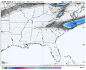
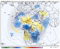
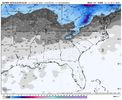
AIGFS was indeed a tablesetter View attachment 181397
79.7 on Christmas day.61/46 here with a chance to run for the low 70s Wed&Fri, maybe Thu&Sat as well. Will depend on cloud cover/precip.
Did anyone on this board manage to tag 80 in their backyard over Christmas?
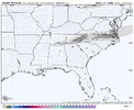
I like how the CMC magically farts this anomolous clipper out from the clouds for our NW flow brethren View attachment 181396
300 hoursGot a fantasy run
View attachment 181400
Got a fantasy run
View attachment 181400

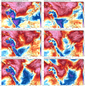
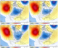
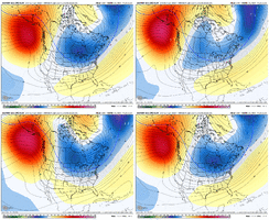
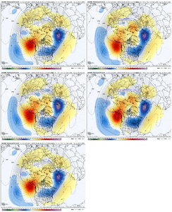
After liking the GEFS +PNA trend yesterday through 18Z and posting about it, I’m equally disliking the -PNA trend since 18Z (this is as of early 1/18):
View attachment 181405
But this is still 12 days out. As I posted, I was expecting a nonlinear trend to continue in the longer +PNA direction. This isn’t what I expected as it is opposite, but there’s still time to resume the +PNA trend: (giving it a few more days)
Wow. Very original.
View attachment 181406
Let us know when one of those lobes connects with one of those wet thingysEuro starts dropping the lobes after day 10.
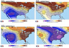
Bamwx backtracking today for the medium range:
Its as low as its been since last fallI think it’s BAMwx having been colder than the models and now being forced to backtrack more than anything else. There’s no question in my mind that they had a colder January than model output has been suggesting.
View attachment 181409View attachment 181410
12z EPS ticking better.
I also don't think we should completely disregard next week either.
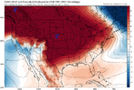
Something to watch is that -NAO trying to sneak into the picture View attachment 181413View attachment 181412
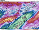
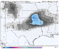
MLK weekend in the mountains might be fun.I fully understand these maps aren't gospel and things will change, but I don't know that I have been impressed by a snow mean yet this winter. This is a pitiful display for this time of year.
View attachment 181414
I thought BAM always said the cold would be post 1/15.


I scan the new screenshots, see 300+ and keep scrolling. We do this to ourselves every winter.Feel like we have been chasing the day 12+ blue blob in the east for like a month now.
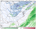
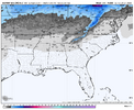
That snow down to the equator is impressiveEven the now famously overexcitable AIFS ENS is nothing to look at.
View attachment 181415
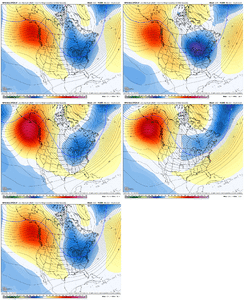
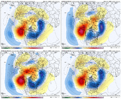
That said, I know just as well as the rest of y'all that even F168 (or closer!) snow mean maps can be decieving. Something could pop up between now and the end of this week. There's been plenty of posts showing why there's reason for optimism. The most encouraging thing to me as I've gotten back into looking at models post-holiday break is what a nice western ridge shows up on the ens. Reds and yellows up over Alaska on an ensemble mean like @KyloG shows, sounds good to me. Minor/moderate events can often appear at closer range than we are spending most of our time looking at right now.
But until the most exciting things to talk about on here aren't F288 H5 ens means and F312 AIGFS snows, it's hard to get worked up.
I think there is one last chance to bring it back in feb but it's likely to at least trend back to neutral for a whilePeople keep tweeting about the NAO going away and I’m really not worried about that. It just keeps correcting back every chance it gets. What we need right now is a lot of +PNA and -EPO
I fully understand these maps aren't gospel and things will change, but I don't know that I have been impressed by a snow mean yet this winter. This is a pitiful display for this time of year.
View attachment 181414
You just want to see it beef up inside d10 once the smoothing starts to be less of a factor. You'd think over the next 5-6 days we will see progress if the 15th-22nd is to do something excitingI like to use the snow means on the ensembles as a rough barometer of the pattern as well. Hard to get excited about a potential modeled pattern unless they grow moderately. If they don't there's a big fly in the ointment somewhere.
Probably the SE ridge making it too warm IMO.