iGRXY
Member
I can see some build up on the drive way right now with sleet coming down so gotta be at least close to freezing still.
That was from Christmas storm. I thought the same thing then saw the date.6” in Bryson City is a bit surprising
6” in Bryson City is a bit surprising

Oh damnLol this doesn’t look like 6 inches.

Bryson City Cam - Resort Cams
Located in the heart of the Smoky Mountains, our Bryson City webcam is located in the downtown area of this popular western NC tourist destination.www.resortcams.com
Sent from my iPhone using Tapatalk
LOL, doesn’t even look like a dusting there. Then again, extreme SW NC wasn’t supposed to get much with this, anyways.Lol this doesn’t look like 6 inches.

Bryson City Cam - Resort Cams
Located in the heart of the Smoky Mountains, our Bryson City webcam is located in the downtown area of this popular western NC tourist destination.www.resortcams.com
Sent from my iPhone using Tapatalk
Just 4-8 in the WSW area ??LOL, doesn’t even look like a dusting there. Then again, extreme SW NC wasn’t supposed to get much with this, anyways.
Had that earlier[moon visible].I see blue skies
Were they in the WSW area? I stand corrected, then. I’ve just noticed a lot of the modeling has been shafting that area the last couple days. That area doesn’t average much snow considering it’s in the mountains, I think their snow climo is around Greensboro’s.Just 4-8 in the WSW area ??


How's birdman doing?Friend sent me this from Wilkes County

Sent from my iPhone using Tapatalk

Haha! now that's funny right there, I don't care who you are!How's birdman doing??
?Anyone noticing the bands moving NW from the TN/NC border south of Knoxville? I’m wondering how that might play out in the next few hours. Anybody?
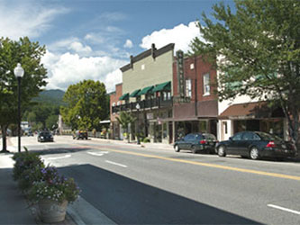
Is that Maggie Valley? I’m surprised it’s not even a street sticker there so far.
getting some token flakes here on the backedge of the band in southeast TN
Is that Maggie Valley? I’m surprised it’s not even a street sticker there so far.
It's close for us this evening and should be fun/painful to watch. Gotta like the band of fgen extending back over us this evening but we are going to be waiting for enough caa to flipYeah, this skips over MBY but hopefully a late blooming band develops and atleast some areas get snow tonight.
View attachment 64240

Do keep in mind that Maggie Valley is in a good upslope spot with a NW wind, especially on the west side where the flow comes through the gapi was wondering what was going on with those. I’m not familiar with how terrain effects precip movement, just found it odd that it was moving NW off the mtns
Thats the way it did up here at work for an hour or so. But now its Heavy Snow for past 10 mins or soHad some nice big parachutes for a few minutes in north High Point. It’s gone back to mostly sleet now though.
