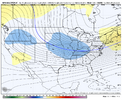
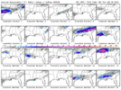
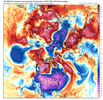
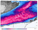
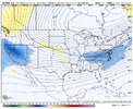
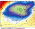
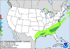
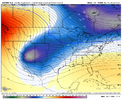
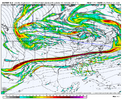
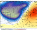
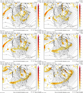
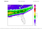
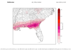
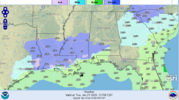
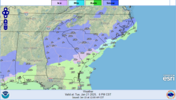
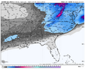
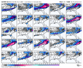
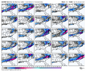
Oh yeahIs there anyway we have to deal with a warm nose with system like this
Sent from my iPhone using Tapatalk
-
Hello, please take a minute to check out our awesome content, contributed by the wonderful members of our community. We hope you'll add your own thoughts and opinions by making a free account!
You are using an out of date browser. It may not display this or other websites correctly.
You should upgrade or use an alternative browser.
You should upgrade or use an alternative browser.
Wintry January 21-23 2025
- Thread starter SD
- Start date
Based on the 18z Euro / 00z UKMET (not to mention throw in the 00z CMC with a similar look) you have to think the 00z Euro is going to be pretty good.Yea, the Ukie is allergic to showing snow in the long range. This is one of the biggest signs we have something here.
albertwilsonjr
Member
Oh yeah
What are the 850 showing
Sent from my iPhone using Tapatalk
NBAcentel
Member
John1122
Member
The UKIE would have a more expansive precip footprint than what it actually just spit out imo. I'd bet it would throw snow to the Ohio River instead of the Tennessee river. Models seem to always underestimate the N/NW side of Gulf lows.
Depends on where you are. No way to nail down any specifics yet. Not even close. We just want a long-duration arctic air mass, and a suppressed system at this range.What are the 850 showing
Sent from my iPhone using Tapatalk
John1122
Member
Someone always has to with a Miller A, it's just according to where you're at.Is there anyway we have to deal with a warm nose with system like this
Sent from my iPhone using Tapatalk
NBAcentel
Member
Gefs looks slightly more suppressed but significantly colder. We are doing things right
I agree! Our area has been in a slump for over a decade so any pesamism is understandable. Lol!Check the Canadian. It's actually hard to believe what we're seeing. They don't make them like this anymore. I can't even imagine this could actually happen. But man, this air mass is frigid. What in the world?
Any similar events that anyone can think of that look similar to what these models are showing? I can't think of any... I've never seen models look like this -- consistently, on ensembles, etc -- ever..
Stormsfury
Member
Not in all my years of following this. I've never seen such agreement in this amount of lead time... NeverAny similar events that anyone can think of that look similar to what these models are showing? I can't think of any... I've never seen models look like this -- consistently, on ensembles, etc -- ever..
rburrel2
Member
I personally can't think of any storm that was this well advertised and flashing this hard at day 7/8. It's sort of crazy, tbh. Especially not with such similar foot prints amongst all the different models/means.Any similar events that anyone can think of that look similar to what these models are showing? I can't think of any... I've never seen models look like this -- consistently, on ensembles, etc -- ever..
iGRXY
Member
Jan 2011 I believe was picked up very early and never lost. You got good runs off of it too, but I don’t think even it was spitting out routine 10-20” totals across the southeastAny similar events that anyone can think of that look similar to what these models are showing? I can't think of any... I've never seen models look like this -- consistently, on ensembles, etc -- ever..
I’ve seen the models come together with a similar look for maybe a run or two but never with the consistency of what is being shown now. I’m kind of in a state of shock right now.Any similar events that anyone can think of that look similar to what these models are showing? I can't think of any... I've never seen models look like this -- consistently, on ensembles, etc -- ever..
I remember Dec 2010 being modeled well in advance. I believe it was 7 days out.I personally can't think of any storm that was this well advertised and flashing this hard at day 7/8. It's sort of crazy, tbh. Especially not with such similar foot prints amongst all the different models/means.
The agreement is top tier but the look at 500mb is something I can’t remember seeing. Taking on a cold zonal look.It’s like what zonal flow would look like in the middle of Canada during peak winterAny similar events that anyone can think of that look similar to what these models are showing? I can't think of any... I've never seen models look like this -- consistently, on ensembles, etc -- ever..
CMC really kind of looked like Jan 88Any similar events that anyone can think of that look similar to what these models are showing? I can't think of any... I've never seen models look like this -- consistently, on ensembles, etc -- ever..
iGRXY
Member
iGRXY
Member
JLM
Member
I wasn't alive then, but it has a Valentine's Day 1895 look to it (west to east overrunning with long fetch). 22 inches in Lake Charles, LA. 8 inches in New Orleans. All-time records at both sites.Any similar events that anyone can think of that look similar to what these models are showing? I can't think of any... I've never seen models look like this -- consistently, on ensembles, etc -- ever..
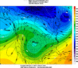
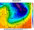
iGRXY
Member
Euro squashes it lolol
CNCsnwfan1210
Member
Euro squashes it lolol
At this range, I’m not mad.
Sent from my iPhone using Tapatalk
iGRXY
Member
iGRXY
Member
I’m not even going to lie. That run made absolutely zero sense. I’m going to bed
iGRXY
Member
It’s that thing NickyB told us to worry about and it rhymes with depressionWhat the heck is this lol
View attachment 163634
CNCsnwfan1210
Member
Sticking with the ensembles is the best course of action right now, still have several more days to for adjustments to this system. Just know we have something to track.
Sent from my iPhone using Tapatalk
Sent from my iPhone using Tapatalk
accu35
Member
Forecast grid already showing chance of snow showers for Monday night for my area. Tuesday “heavy snow storm”
Not worried about suppression in the slightest. More worried about this thing trending too warm/north.
Suppression at this range is what I prefer to see as opposed to being in the bullseye.
Suppression at this range is what I prefer to see as opposed to being in the bullseye.
WolfpackHomer91
Member
Any similar events that anyone can think of that look similar to what these models are showing? I can't think of any... I've never seen models look like this -- consistently, on ensembles, etc -- ever..
If we get to Thursday …. Feb 2014. 5 days straight of gold (Minus the normal Mixing issues scare around Day 3)
Sent from my iPhone using Tapatalk
JLM
Member

