• Hello, please take a minute to check out our awesome content, contributed by the wonderful members of our community. We hope you'll add your own thoughts and opinions by making a free account!

Wintry January 14-16th storm potential.

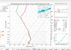
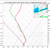
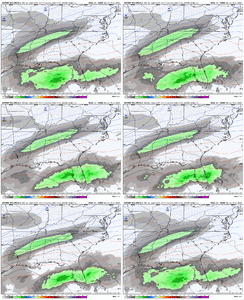
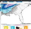
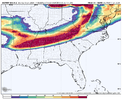
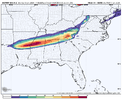
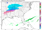
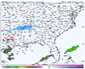
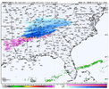
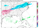
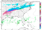
The end of the NAM. I don't think other models had the IP/ZR over Texas. Also it's a lot colder for Monday morning, at least for NC.
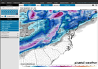
ref1km_ptype.conus.png
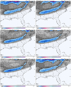
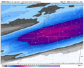
The Dgex would have been a beaut if it still ran.

Great confluence and cold press out in front, low level cold air has pushed really far south, that initial small shortwave out in front of our northern stream wave is held back and seems to be working more in tandem with the northern vort dropping down. I think it would be a good hit.
 
This is sad to say honestly but these days I don’t want to even see snow or any wintery precip showing up until I’m at least 72 hours in. The way these models flip flop around even inside that timeframe causes pretty big changes even in the short term. And as we’ve seen, being in the jackpot at day 3 or even 2 usually is fools gold.
 
This is sad to say honestly but these days I don’t want to even see snow or any wintery precip showing up until I’m at least 72 hours in. The way these models flip flop around even inside that timeframe causes pretty big changes even in the short term. And as we’ve seen, being in the jackpot at day 3 or even 2 usually is fools gold.
Models will start getting a better hold on this After tomorrows system moves through

Sent from my SM-S911U using Tapatalk
 
Back
Top