Itryatgolf
Member
Was that before 12z euro?this is what it says, it's from Chris Lisaukis of Eyes to the sky Weather, and he is very good at this stuff:
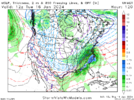
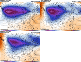
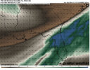
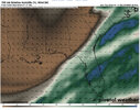
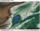
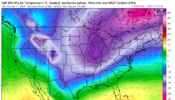
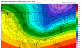
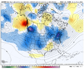
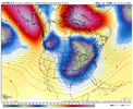
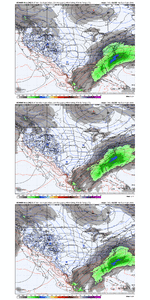
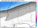
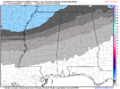
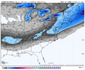
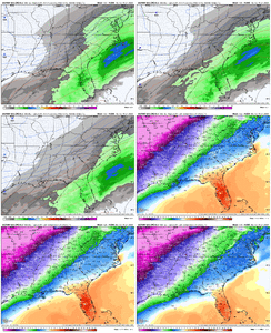
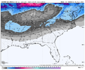
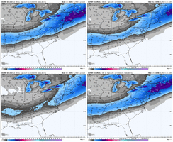
Snow amounts on the increase? Some of the Global models are developing a surface low over the gulf of Mexico which would likely increase our snow totals in the Tennessee Valley for Monday/Tuesday. I believe this trend will likely continue as the high altitude jet stream pattern strongly favors the development of such a low pressure feature along the temperature gradient (baroclinicity) which will exist. I wouldn't be at all surprised if model forecasted snow amounts increase over the next few days as models continue to resolve. As of now, my gut is telling me we'll see 4-6" along and north of the Tennessee River; however, as you know, this prediction will likely change some over the coming days.
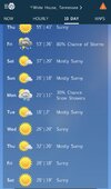
Please begin to prepare for relatively extreme conditions across the area next week as snow and the potential for prolonged extreme cold exist. I don't like hype, and I avoid it at all cost, but this event should be on your radar.

