• Hello, please take a minute to check out our awesome content, contributed by the wonderful members of our community. We hope you'll add your own thoughts and opinions by making a free account!

Pattern Jan 2025 Powered by Rheem AC

Large scale retraction and retrogression is basically inevitable at some point, but I doubt it’s as early as the GEFS or GEPS show, let alone a persistent look, at least for now…

Everyone is getting a sneak peak of what things are going to look like later this winter though when the pacific jet really retracts
Give us a widespread Winter storm & I can deal with the "see ya tomorrow" weeds by February.
 
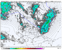
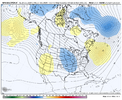
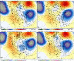
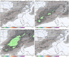
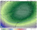
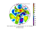
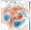
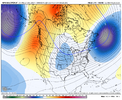
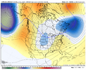
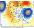
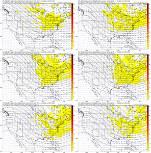
EPS looks great to end off. Also cool to watch the return of the TPV near Hudson Bay View attachment 156529View attachment 156528View attachment 156530
There's some give and take here. The Greenland blocking ridge just evaporates (ugh - and same on CMC Ens), but we gain the east movement of the N Pac / Aleutian Low and W NAmer ridge complex out in time, with nice bowl trough over the U.S.

EPS has the nice fortification / east punch of the jet at the end, after the initial retraction - GEFS doesn't have as much eastward movement there

Just another day of As The World Turns

pOy8h2X.gif

rYMGJ57.gif
That -NAO block coincidentally ends during our timeframe of interest on the EC suite and OP EC in general. Makes sense. As the -NAO decays, typically something follows. It’s rare though to go from a favorable Atlantic configuration straight to a favorable Pacific configuration. Been a while
 
LC

I have been telling clients and friends alike for about a week now that the predicted "blowtorch" would be like the rest of the big warm-ups predicted since Thanksgiving: quicker, less emphatic and likely not having as strong an impact as what the model guidance suggests. To be sure, once the current transient Arctic regime moves out of the eastern third of the lower 48 states, a notable warm-up will occur. But by New Year's Eve, the "dominoes" will be set up to fall, with likely blocking ridge formation in a -EPO/-AO/-NAO configuration. As in "Alaska/Arctic Canada/Greenland. There is near-complete agreement on this scenario from NWP and analog resources, so confidence is growing on winter returning with a vengeance during the first week-and-a-half of 2025.

Speaking of analogs, I have not changed my comparison years. The presence of a strong subtropical jet stream feeding of a far-west Madden-Julian Oscillation (Phases 2,3,4) will mean increased precipitation chances for Texas and Dixie into the Mid-Atlantic, and possibly New England into the Maritime Provinces as well. Pronounced warm advection into the high latitudes will favor Arctic and polar branches southward, and could create a phasing scenario somewhere between Cape Hatteras NC and the MA Islands. Those of you familiar with winter season climatology will quickly realize this is a "snow track" from the Potomac River into Bay Of Fundy. But I cannot rule out some rain involvement for the Interstate 95 corridor, given the time distance and the fact that air and water temperature measures are vague this far out. Keep in mind that the snow cover in Canada and the Great Lakes is quite impressive, so if a strong enough ridge developed about the North Pole, clear skies and night radiation off of the snowpack implies quick formation/expansion/advection into the lower 48 states, especially to the right of the Continental Divide. "January Thaw" climatology with a negative ENSO (moderate La Nina) suggests January 12 - 22 as the "melting antidote". The last week of January and first of February should return the cold and frozen precipitation chances.

Now for those of you who love heat and tropical systems, most guidance is saying that "summer in spring" is on tap for the Southwest and south central USA in March. Finally....I have some exciting weather to describe
 
Who you putting money on? I know who I got...

Will revist in a week and see who won.

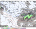
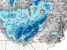
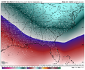
View attachment 156536

I’m not getting hyper fixated or overly worried about one ensemble run, especially when it’s likely to be a temporary look even if it verifies, and not supported by the background state either
 
Back
Top