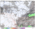
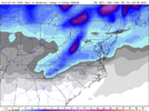
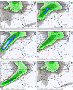
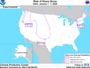
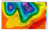
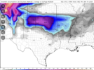
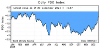
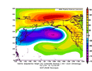
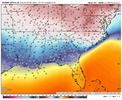
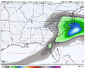
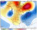
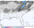
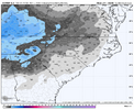
Keep the GFS trend going and we may get an early present for someone.
-
Hello, please take a minute to check out our awesome content, contributed by the wonderful members of our community. We hope you'll add your own thoughts and opinions by making a free account!
You are using an out of date browser. It may not display this or other websites correctly.
You should upgrade or use an alternative browser.
You should upgrade or use an alternative browser.
Pattern Jan 2025 Powered by Rheem AC
- Thread starter SD
- Start date
- Joined
- Jan 23, 2021
- Messages
- 4,602
- Reaction score
- 15,197
- Location
- Lebanon Township, Durham County NC
LukeBarrette
im north of 90% of people on here so yeah
Meteorology Student
Member
2024 Supporter
2017-2023 Supporter
NBAcentel
Member
Jessy89
Member
Look like improved GFS to. Not quite there but better than it was.
Sent from my iPhone using Tapatalk
Sent from my iPhone using Tapatalk
Brent
Member
Snowlover34
Member
SnowwxAtl
Member
Getting a West -NAO to last for more than just a few days isn't a requirement to get into a good pattern, but it would make it a lot easier to score. 00z GFS and CMC runs don't have what we are looking for there, but let's see what the ensembles and Euro suite show
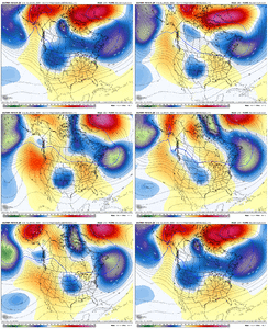
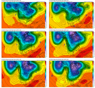
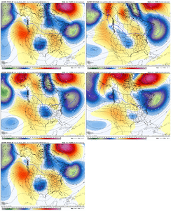
GEFS looks improved. Here is a comparison between this 00z run and the 06z run yesterday (3 runs ago). It's an improving look for sure.

GEFS looks improved. Here is a comparison between this 00z run and the 06z run yesterday (3 runs ago). It's an improving look for sure.

Brent
Member
CNCsnwfan1210
Member
Getting a West -NAO to last for more than just a few days isn't a requirement to get into a good pattern, but it would make it a lot easier to score. 00z GFS and CMC runs don't have what we are looking for there, but let's see what the ensembles and Euro suite show
GEFS looks improved. Here is a comparison between this 00z run and the 06z run yesterday (3 runs ago). It's an improving look for sure.

Good to see those two troughs shaking hands

Sent from my iPhone using Tapatalk
rburrel2
Member
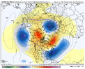
The cold anamolies on the 00z 360hr EPS and 384hr GEFS are stupid. Pretty rare to see that much agreement on widespread cold that far out in time. I’m starting to think the mid-January timeframe has a better shot of producing than Jan 3-7th. But maybe we get lucky and hit on both. The overnight AI euro is a hit.
Webberweather53
Meteorologist
NBAcentel
Member
all four delivered especially with cold!In the past 20 or so years we have had 4 winters start off January with what the EPS/GEFS are modeling. Not bad…
View attachment 156676
View attachment 156675
tennessee storm
Member
Who wants the cold if not going snow …
MeWho wants the cold if not going snow …
Im still concerned about too much PJ but maybe that's just me
iGRXY
Member
Me, it’s winter. We roast 8 months out of the yearWho wants the cold if not going snow …
I’m a nature boy and the native plants and trees need a good deep freeze every once in a while to prevent disease.
Also what were the 4 analog years?
Also what were the 4 analog years?
I'm not Ric Flair but I'm a nature boy too. I love the outdoors and we need a deep freeze not only to prevent disease in plants but also to kill off some of the pesky insects that come out during the year like mosquitoes, ticks, fleas and biting flies.I’m a nature boy and the native plants and trees need a good deep freeze every once in a while to prevent disease.
Also what were the 4 analog years?
That just speaks to how things have to line up just right cause we have posts in here concerned about the jet being too weak and dumping the trough in the west (GFS), then the complete opposite concern of it being too strong (AI) with another GOAK low. Think we can ride with the ensemble mean ideas for nowIm still concerned about too much PJ but maybe that's just me
The indices look good:
PNA - Looks to stay positive now through the LR (nearly all the runs now positive). GOOD
NAO - Looks to go negative in the LR. GOOD
AO - Still looks to fall off the cliff negative. GOOD
PNA - Looks to stay positive now through the LR (nearly all the runs now positive). GOOD
NAO - Looks to go negative in the LR. GOOD
AO - Still looks to fall off the cliff negative. GOOD
Webberweather53
Meteorologist
years-Jan '10, '11, '14, '18I’m a nature boy and the native plants and trees need a good deep freeze every once in a while to prevent disease.
Also what were the 4 analog years?
Last edited:
Considering the upcoming pattern, won’t be surprised if the “snow 10 days after thunder in the winter” comes true.Almost that time of the year again. Could see some rumbles of thunder &/or severe weather this weekend as we turn the page into 2025
View attachment 156683
View attachment 156684
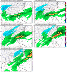
GFS was cold & does the usual for the areas that have scored the last few Winters.. But probably the coldest GFS run we've seen in several days.
If that look does hold, it would surprising if we aren’t tracking something by this time next weekThe EPS/GEFS generally agree on this look. Big piece of energy diving into the NW conus…with arctic and Atlantic blocking established.
Been so long since we had something like this…how does this work
View attachment 156685
I just don't think we will have the cold air establish for most on here in that period. Not trying to be negative, but I personally don't think the first weekend of January (give or take a day) is our storm if there is one. It could be for some though. I think our opportunity comes several days into January.The EPS/GEFS generally agree on this look. Big piece of energy diving into the NW conus…with arctic and Atlantic blocking established.
Been so long since we had something like this…how does this work
View attachment 156685
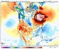
I just don't think we will have the cold air establish for most on here in that period. Not trying to be negative, but I personally don't think the first weekend of January (give or take a day) is our storm if there is one. It could be for some though. I think our opportunity comes several days into January.
View attachment 156686
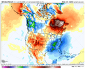
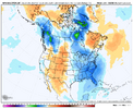
It does look colder on the latest GEFS.
- Joined
- Jan 23, 2021
- Messages
- 4,602
- Reaction score
- 15,197
- Location
- Lebanon Township, Durham County NC
I still think the more climatologically favored areas score first (N of 40ish) and the second storm might focus on the othersI just don't think we will have the cold air establish for most on here in that period. Not trying to be negative, but I personally don't think the first weekend of January (give or take a day) is our storm if there is one. It could be for some though. I think our opportunity comes several days into January.
View attachment 156686
- Joined
- Jan 23, 2021
- Messages
- 4,602
- Reaction score
- 15,197
- Location
- Lebanon Township, Durham County NC
Yep, totally agree. And if you think about it, normally some of our best Winters work out like that.I still think the more climatologically favored areas score first (N of 40ish) and the second storm might focus on the others
Jessy89
Member
Looks like a true 85 event. If anything at all but ensemble still favor something
Sent from my iPhone using Tapatalk
Got the frame to the west?


