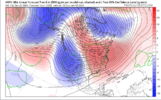
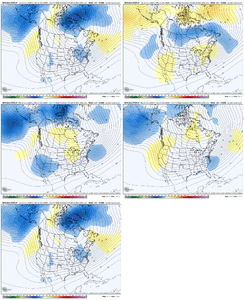
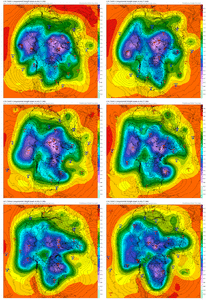
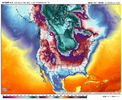
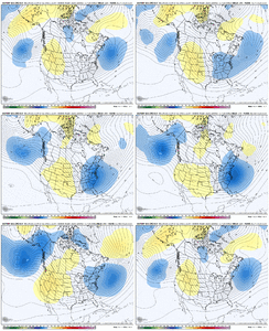
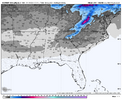
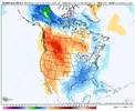
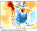
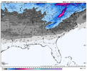
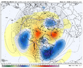
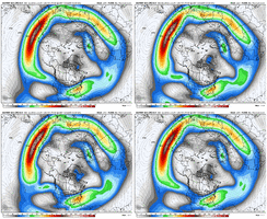
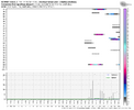
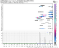
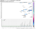
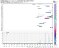
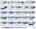
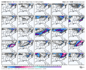
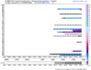
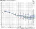
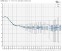
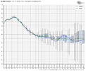
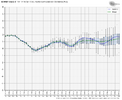
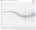
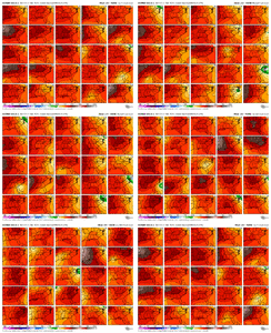
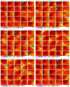
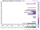
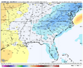
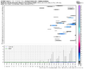
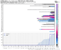
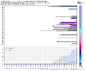
I'd be more worried about adding too much Mo into the pac jet and extending to the WC than I would be retracting into a WC trough
-
Hello, please take a minute to check out our awesome content, contributed by the wonderful members of our community. We hope you'll add your own thoughts and opinions by making a free account!
You are using an out of date browser. It may not display this or other websites correctly.
You should upgrade or use an alternative browser.
You should upgrade or use an alternative browser.
Pattern Jan 2025 Powered by Rheem AC
- Thread starter SD
- Start date
Webberweather53
Meteorologist
- Joined
- Jan 23, 2021
- Messages
- 4,602
- Reaction score
- 15,197
- Location
- Lebanon Township, Durham County NC
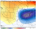
Note where it's moving that Alaskan ridge. Slightly evermore eastView attachment 156588
You can call it a trend, I am going to call it lost.
NBAcentel
Member
NBAcentel
Member
Webberweather53
Meteorologist
Press x doubt we get a *persistent* western trough this early in January with this background +U, +Mtn torque, and equatorward momentum surge.
High-latitude pacific/Alaska blocking though?
Yes absolutely.
View attachment 156525
View attachment 156526
GEFS already is getting left out on island with its next western trough at 300 hour.
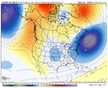
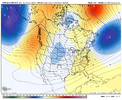
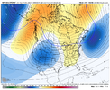
Yeah I’m so surprised it is also trending to the eps in the shorter term too… not
That might have been the best EPS run yet since tracking this pattern change.
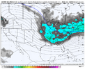
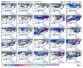
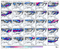
That’s the best snow mean so far this season.Wow. Absolute banger EPS run View attachment 156601View attachment 156602
CNCsnwfan1210
Member
This look just keeps getting better IMO
Sent from my iPhone using Tapatalk
- Joined
- Jan 23, 2021
- Messages
- 4,602
- Reaction score
- 15,197
- Location
- Lebanon Township, Durham County NC
It feels like it’s 2000 and you’re the kid. The euro managed to go out and find the PS2 to put under the tree.
Damn.
Damn.
whatalife
Moderator
- Joined
- Jan 23, 2021
- Messages
- 4,602
- Reaction score
- 15,197
- Location
- Lebanon Township, Durham County NC
- Joined
- Jan 23, 2021
- Messages
- 4,602
- Reaction score
- 15,197
- Location
- Lebanon Township, Durham County NC
NWMSGuy
Member
The latest Euro model runs were glorious! I've got my fingers and toes crossed that a good old fashioned Miller A can bring the goods for snow starved people of Central North Carolina like me. There is a long way to go before the first week of January arrives but at least we are looking at something in the works.
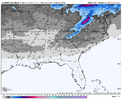
Wanna do that one for the Huntsville area. Pretty sure gonna be close to what Birmingham has.View attachment 156623Big dog potential. Hopefully we’ll see more members with snowfall as we get closer. At least it’s something to watch.
NEGaweather
Member
Gainesville Ga

Sent from my iPhone using Tapatalk

Sent from my iPhone using Tapatalk
Snowlover34
Member
Can you pull one up for Hazel Green Alabama?For Memphis:
View attachment 156615
- Joined
- Jan 23, 2021
- Messages
- 4,602
- Reaction score
- 15,197
- Location
- Lebanon Township, Durham County NC
The control run of the weeklies is for entertainment purposes only but that’s how you have an all time January
Insert sarcastic comment about warm/failThe control run of the weeklies is for entertainment purposes only but that’s how you have an all time January
- Joined
- Jan 23, 2021
- Messages
- 4,602
- Reaction score
- 15,197
- Location
- Lebanon Township, Durham County NC
I lost count after the first half dozen Barney shotsInsert sarcastic comment about warm/fail
NWMSGuy
Member
Snowlover34
Member
Thanks I appreciate itI believe this may be close to the location you requested? View attachment 156635
iGRXY
Member
Insert --> full imageBest iv seen in a while around here.View attachment 156633

