Follow along with the video below to see how to install our site as a web app on your home screen.
Note: This feature may not be available in some browsers.
Hello, please take a minute to check out our awesome content, contributed by the wonderful members of our community. We hope you'll add your own thoughts and opinions by making a free account!
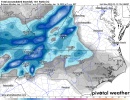
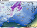
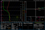
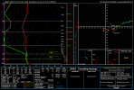
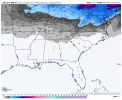
Looking a lot better for Upstate SC and into NC/parts of TN. Not at all too hyped for as South as CAE yet, since these things can amp and bring temperature issues down there though. You'd want to see the snow line well to the South of the midlands to build confidence imo.
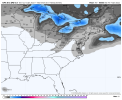
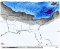
Part of this is wish casting but you would think the precip would be more expansive into central NC with this look --> a deepening storm off the coast of Wilmington at day 6:
Although these trends are very exciting and fun all must be weary about how this evolves.. any one small change could have a big impact on who is impacted and how they are impacted .. lots of GEFS members show the complexities.. amplified means southern portions are cold rain and there is much more ice to deal with for CAD areas .. some dive this thing so far south that it’s shredded apart and most just see a flurry fest .. still probably accumulates but low totals for most… some dive it down south and crush SC but look to develop a well defined coastal and crush us all… still lots of things to iron out over the next couple days
This site uses cookies to help personalise content, tailor your experience and to keep you logged in if you register.
By continuing to use this site, you are consenting to our use of cookies.