• Hello, please take a minute to check out our awesome content, contributed by the wonderful members of our community. We hope you'll add your own thoughts and opinions by making a free account!

Wintry Jan 15-16 Winter Storm Discussion & Obs

Where do you think the line will setup between a sleet storm and major ice storm with power outages? My guess would be from Troy, NC to West of Durham.
Oh gosh, that's always a tough call in these setups. Probably from Burlington down to CLT or so and to the west will be primarily snow to start then sleet with minimal freezing rain. All bets are off east of there to roughly I-95 with the probability of heavy freezing rain. Of course, this is subject to major revisions :)
 
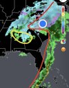
This is what my area current forecast is predicting but I am sure it will change some.
prec.png

Almost exclusively sleet
 
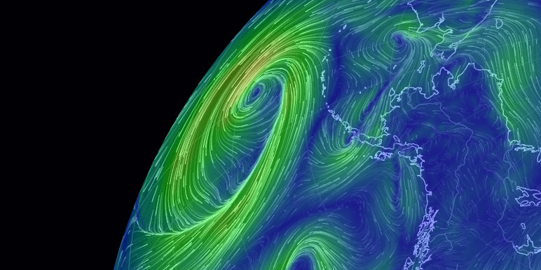
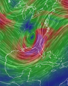
Not sure if it's accounted for in any way on the models, but the theory makes sense.

Here's a follow-up tweet. Hopefully models are better since that was 20 years ago

 
From GSP: Very Good Read

operational models are in relatively good agreement with the 500 mb low center track atop our area late weekend. The GFS remains a
few hours faster than the ECM/CMC solutions, but they all lift the system across the western Carolinas and northeast Georgia late
Sunday and Sunday night. The ECM/CMC mean sea level pressure prognostics have a slightly farther south/southeast track of the
associated surface low center, mainly across the coastal plain. This is favored given the strength of the low-level ridge north of the
forecast area and it will likely contribute to slightly colder profiles and boundary layer temperatures than indicated on the operational GFS. QPF will be robust in the 06Z to 18Z Sunday period,
with strong upper jetlet divergence, deep-layer QC convergence, and strong warm advection at low-levels. Anticipate that the zero degree
850 mb isotherm may pivot near the NC/SC line to create a very sharp gradient in snowfall from the NC foothills down into the Upstate, but this remains highly subject to change.

The current thinking is that most of NE GA, Upstate SC, and the Charlotte metro area will see some degree of warm nosing to undercut
potential snow totals and generate more sleet, with more freezing rain especially likely at times along and southeast of I-85. 850 to
700 mb frontogenesis will likely sharpen up along and east of the mountains to enhance precipitation rates Sunday morning. The phasing
process of this southern system back into the northern stream may accelerate the low passage. That could be a slight limiting factor,
but it may not matter much given the otherwise excellent potential for significant wintry accumulations across the region as it stands.


Sent from my iPhone using Tapatalk
 
Isn’t this in theory accounted for in the modeling? I’m pretty sure SSTs are included in the models, though I may be wrong?
If I remember correctly, the GFS was coupled with the ocean in recent years. Still could be valid that there's room for improvement when modeling impacts of SSTs on dynamic storm systems like this. I really don't know...
 
Perhaps as we get closer to the event we can separate this into two threads? This could be a crippling ice storm for some and a rewarding snowstorm for others.
Definitely, the same thread because this storm is fluid and is going to change up until the last hour. At least that's what my instincts are telling me.
 
Back
Top