accu35
Member
Overall, models has increased a little today with best at cat 1. Will see what happens when he enters the hot tub.
SW Alabamawhere is that, your profile doesn't say?
Interesting ......But does a smaller storm increase its accuracy?
Sent from my SM-J320VPP using Tapatalk
Both hurricane models had a near major or at major hurricane at 18Z.Overall, models has increased a little today with best at cat 1. Will see what happens when he enters the hot tub.
Yes, SW Bamawhere is that, your profile doesn't say?
Lol, yes i forgot about thatBoth hurricane models had a near major or at major hurricane at 18Z.


yeah I don't think that's the rapid intensification the NHC had in mind


possible it gets to hurricane status? do what???????????I guess it's possible this gets to hurricane status. I'm not sure though. I could see this being a weaker messy TS. Good for rain though
It's not a slam dunk at all. Just look at the 00z gfspossible it gets to hurricane status? do what???????????
We shall see. I'm not sold on this becoming a hurricane. Just my opinion for sure.possible it gets to hurricane status? do what???????????
It's POSSIBLE it gets to 2 or 3, much less hurricane. Sure it 's not a given, but to say it's possible it could become a hurricane? Just seemed bizarre.It's not a slam dunk at all. Just look at the 00z gfs
Sent from my SM-J320VPP using Tapatalk

the GFS ain't impressed
It's been the most consistent with track. When the Euro folded to GFS over the last 2r hours I was a little shocked to be honestI'm not impressed with the GFS being labeled a reliable model. lol
I'm not impressed with the GFS being labeled a reliable model. lol
The Euro did cave to it
Just sayin
I know I'm shocked too
The CMC is also very weak, multiple competiting areas
pic please0Z GEFS mean 100 miles E of last 3 runs far e LA.
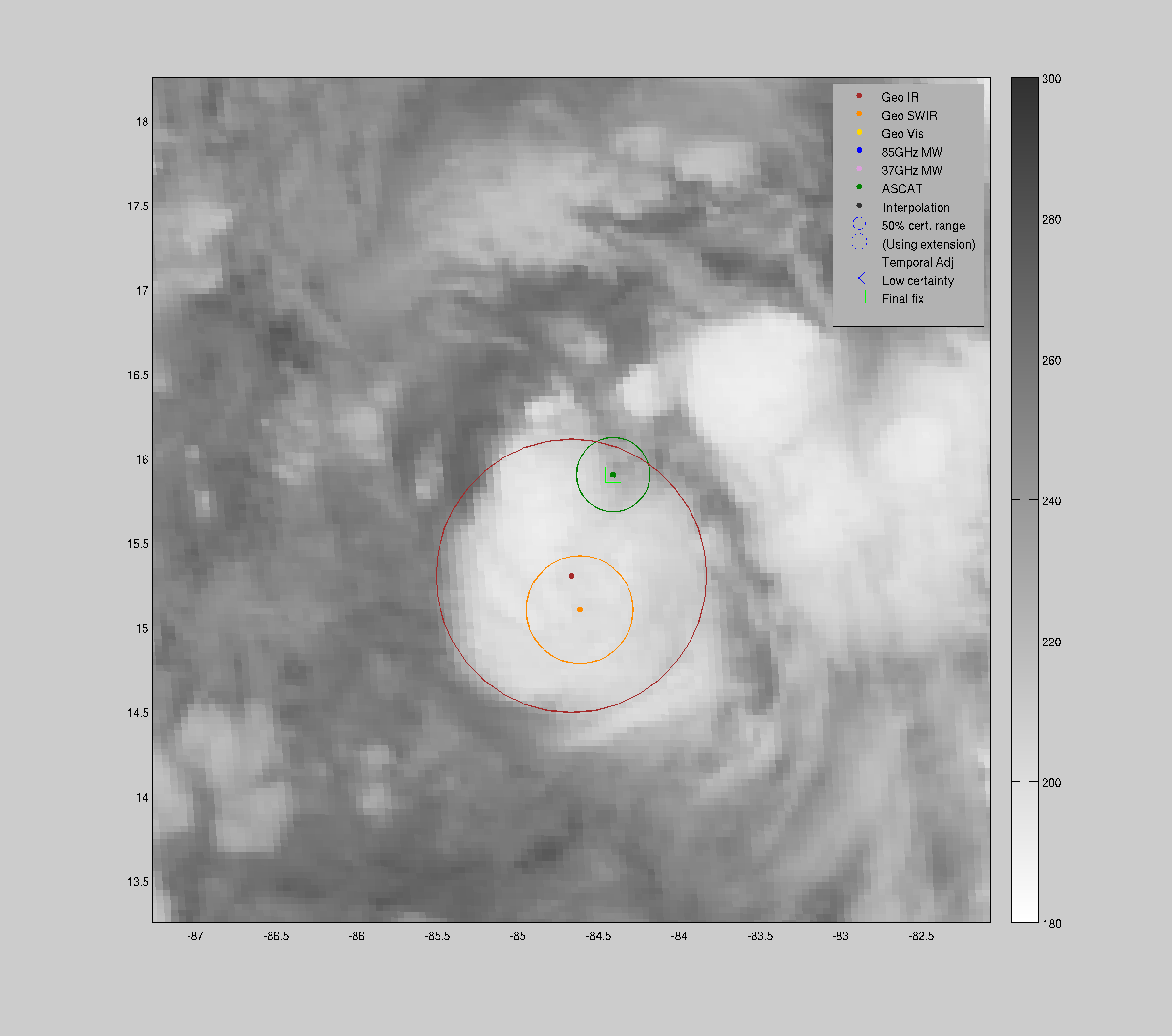
Nate is firing up a bit
The GFS/CMC don't strengthen it at all from this point on even though out over hot water while the Euro and UK do. Will the GFS/CMC score a coup or will they look stupid? We should know something within the next 6-9 hours. The current firing up is making me suspect they will look stupid but who knows?

