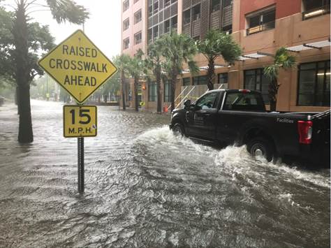
• Hello, please take a minute to check out our awesome content, contributed by the wonderful members of our community. We hope you'll add your own thoughts and opinions by making a free account!

Tropical Hurricane Dorian

0Z EPS: mean actually SW vs 18Z at 138 though still many ots. Will keep watching how fast it gains longitude next 2 days. Right now moving 13 mph last 4 hours vs 10 forecasted.
 
Last edited:
Estimating at 72.4 W at 4 AM and him reaching 72.8 W at 6 AM vs 8 AM NHC prog. Moving 14 mph avg over last 5 hrs vs NHC prog of 11. Got to watch this because faster would mean further W at expected stall. Has already moved 15 miles more west vs prog over just last 5 hours or 3 per hour. If this were to keep up for 24, that would be 72 crucial miles. Maybe it will slow later but certainly not yet.
 
Gotta be getting close to cat 5 by now. It’s looking mean on IR. And the models have him turning before the islands now.


Sent from my iPhone using Tapatalk
 
Continue to adjust east
e362c7b237b12d6ec8941fd4627efee9.jpg


Sent from my SM-G950U using Tapatalk
 
A little concerning is Euro, while still offshore, was actually a little closer than 12z. Also it's not like it is being kicked hard NE or E, he's just being nudged and paralleling the coast. Shifts 50 miles huge implications

Sent from my SM-G950U using Tapatalk
 
A little concerning is Euro, while still offshore, was actually a little closer than 12z. Also it's not like it is being kicked hard NE or E, he's just being nudged and paralleling the coast. Shifts 50 miles huge implications

Sent from my SM-G950U using Tapatalk
Euro 00z is actually tucked into the corner of GA much higher than GFS , and 6 hours slower than GFS. GFS gets to Charleston at 6 pm on Wednesday. Low tide is st 7:13 pm.

To your point, 50 miles and the eye would not be on the coast in the 06z GFS run.
 
Last edited:
5:00 am NHC:

The initial motion is now 290/10. A low- to mid-level subtropical
ridge to the north of the hurricane should steer it west-
northwestward to westward for the next 48 h or so, with the forward
speed becoming very slow as the center passes near or over the
Abacos and Grand Bahama. The track guidance for this part of the
track is tightly clustered, and the new forecast track is near the
ECMWF, UKMET, and HCCA corrected consensus models. The track
forecast becomes much more problematic after 48 h. The global
models the NHC normally uses, along with the regional HWRF and HMON
models, have made another shift to the east to the point where none
of them forecast Dorian to make landfall in Florida. However, the
UKMET ensemble mean still brings the hurricane over the Florida
peninsula, as do several GFS and ECMWF ensemble members. The new
track forecast for 72-120 h will be moved eastward to stay east of
the coast of Florida, and it lies between the old forecast and the
various consensus models. Additional adjustments to the forecast
track may be necessary later today if current model trends continue.

It should be noted that the new forecast track does not preclude
Dorian making landfall on the Florida coast, as large portions of
the coast remain in the track cone of uncertainty. Also,
significant impacts could occur even if the center stays offshore.
 
Last edited:
Getting an uneasy feeling here about the SC coast, nobody in the state is talking about this hurricane it’s gonna be a too late and too stubborn to leave situation
 
Getting an uneasy feeling here about the SC coast, nobody in the state is talking about this hurricane it’s gonna be a too late and too stubborn to leave situation
Doubtful....the Gov has his eye on it. Just too early to pull the trigger. He may put up phase 1 today for communications.

My guess if the noon models stick, he will really get going. That would give us 3 days to evacuate.
 
Back
Top