Gfs continues it's hate of the 10mb pv

Sent from my SM-G928V using Tapatalk

Sent from my SM-G928V using Tapatalk
Larry, great stuff! If we score a storm on any of the two dates you listed above, you will be my hero! I just see a lot of warm temps and t stormsIf we get the extremely rare +2 PNA, there'd be legit hope for around midmonth considering the -AO and MJO 8. Only 1 in 2,000 DJF days has had a +2 PNA (last one in 2/1983)!
I'm not giving up on 2/10 either. What I think is that there will be two opportunities, 2/10 and ~2/13-16. If 2/10 turns out be nothing, I have a feeling that midmonth is going to get mighty interesting. I think model consensus for midmonth is likely going to change and the much colder 0Z GFS for then may turn out to be the first hint of changes to come.

This remains disconcerting - just as the NAO is finally progged to go negative, the EPO is progged to go fairly positive. Too much counterbalance, at least theoretically (although the PNA looks great).

Lol, it's not likely. I think things look about the same for chances of a storm as yesterday. 12Z should be the same solution or another one.Now I know why the 6z GEFS mean looked so good...Geez...
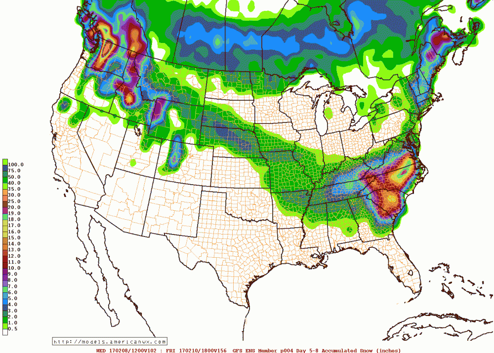
I agree. I do know that when we get a big storm, the models usually have a better handle on the system much earlier. Huge red flag that we are going to strikeout if there's only an occasional op run or a couple of ensemble members per day that shows anything.Lol, it's not likely. I think things look about the same for chances of a storm as yesterday. 12Z should be the same solution or another one.
The same solution or another one? Do what?Lol, it's not likely. I think things look about the same for chances of a storm as yesterday. 12Z should be the same solution or another one.

I think we will either see what we saw the past several runs with a weak system moving into the southeast, then a low OTS, or we will see something new with the 12Z/18Z data cycle.The same solution or another one? Do what?
I agree with you here 100 percent on this... it be the same solution or another one. lolLol, it's not likely. I think things look about the same for chances of a storm as yesterday. 12Z should be the same solution or another one.
It looks held back more. I don't think this is going to go well.This *could* be an interesting run if things hold the way their looking right now.
Sent from my SM-J700T1 using Tapatalk
That was more interesting for 2/10. Now let's see whether or not the 12Z GFS gets more interesting during the possibly near record high +PNA being projected for the period centered on 2/14.

