-
Hello, please take a minute to check out our awesome content, contributed by the wonderful members of our community. We hope you'll add your own thoughts and opinions by making a free account!
You are using an out of date browser. It may not display this or other websites correctly.
You should upgrade or use an alternative browser.
You should upgrade or use an alternative browser.
Pattern February 2024
- Thread starter SD
- Start date
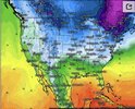
This thing is usually about as accurate as a 4 year old with crayons. With the amount of freezes we've had, we are not leafing out in February this year.
Nerman
Member
NBAcentel
Member
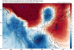
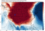
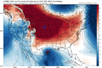
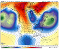
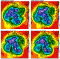
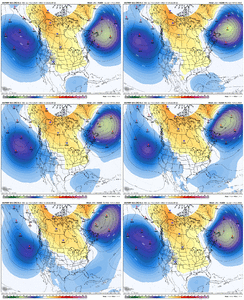
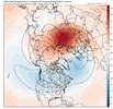
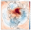
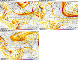
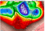
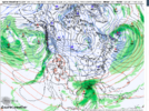
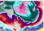
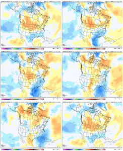
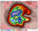
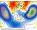
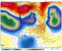
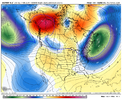
I still like this period. If we can pull this look forward many will be salivating soon I bet.This is why I feel we need to have the PV consolidate further to the east. With it stretched and split into several pieces, the upper level convergence gets interrupted. That's another reason I favor later -- from roughly the 20th ish -- onward as that's when the EPS and CMCE have a better congealing of the PV further east.
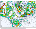
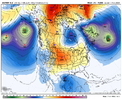
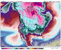
Just run the Euro out with the Control, and we go it as Fro showedI still like this period. If we can pull this look forward many will be salivating soon I bet.
View attachment 145597
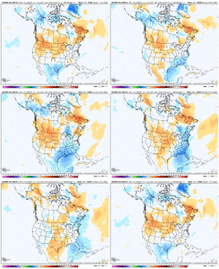
View attachment 145598
View attachment 145600
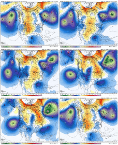
I still like this period. If we can pull this look forward many will be salivating soon I bet.
View attachment 145597
View attachment 145598
View attachment 145600
They don’t make a better look for a board wide hit than that right there.
Cary_Snow95
Member
A big positive from today’s guidance is cold air is being found finally. Arctic air at that
rburrel2
Member
A few things to keep in mind over the coming days. This isn't the same as the last few nina Febs where the SER is predisposed to appear. If we get the pv split high latitude blocking will be the general flavor. The pattern should retrograde as the jet retracts severely and renewed rockies/WC ridging should take shape later in the month. We may see a temporary warm period as the trough out west finally releases inland if the nao isn't strong enough to mitigate a temporary enhancement to the STJ and tendency for it to rise north, if we follow a p7-3 mjo progression this cold, stormy, potential snow pattern can easily push into March well south.
Would be nice to get a storm on the board for some folks in the early part of this better pattern.
Moving ahead after that storm potential around next weekend, the GEPS out to day 10 here has the best representation for where I think we are headed, though it may be a little quick. Each Pacific Jet extension this winter has been quite strong (Strong El Nino at work), and this next one arriving in California / Baja late next week is no exception. But the jet should back off in the Feb 22-24 timeframe and calm down with the heavy low anomalies pounding into the west coast. As it backs off, I think we are going to see a legit retrograding block that runs SW toward Hudson Bay, with the N Atlantic getting blocked up (Edit: and I think the blocking will be slow to rot away)....2 reasons for this: 1) we've moved more toward a traditional blocking origin location (Scandinavia), and 2) trends with the stratosphere have continued to improve where we are now seeing not only good chances for an official SSW, but also, a prolonged period where the SPV doesn't recover in strength.
That type of evolution would set the stage for a big KU, east coast nor'easter type storm, with us in the south / southeast also having a shot on either side (all of this in the late Feb / early Mar timeframe). A nice sequence for us in the SE associated with Atlantic Blocking has occurred in the past where there has been a nor'easter > suppressed storm track behind the nor'easter > SE winter storm. Off the top of my head, I know Feb 12, 2010 and Feb 15, 1969 were both like that

Last edited:
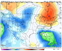
Someone with the pretty run to run change maps correct me if I'm wrong but it looks like the eps ticked colder 17-20th
post this on twitter my guy. This is a fantastic post. Winter isn't going anywhere.Would be nice to get a storm on the board for some folks in the early part of this better pattern.
Moving ahead after that storm potential around next weekend, the GEPS out to day 10 here has the best representation for where I think we are headed, though it may be a little quick. Each Pacific Jet extension this winter has been quite strong (Strong El Nino at work), and this next one arriving in California / Baja late next week is no exception. But the jet should back off in the Feb 22-24 timeframe and calm down with the heavy low anomalies pounding into the west coast. As it backs off, I think we are going to see a legit retrograding block that runs SW toward Hudson Bay, with the N Atlantic getting blocked up....2 reasons for this: 1) we've moved more toward a traditional blocking origin location (Scandinavia), and 2) trends with the stratosphere have continued to improve where we are now seeing not only good chances for an official SSW, but also, a prolonged period where the SPV doesn't recover in strength.
That type of evolution would set the stage for a big KU, east coast nor'easter type storm, with us in the south / southeast also having a shot on either side (all of this in the late Feb / early Mar timeframe). A nice sequence for us in the SE associated with Atlantic Blocking has occurred in the past where there has been a nor'easter > suppressed storm track behind the nor'easter > SE winter storm. Off the top of my head, I know Feb 12, 2010 and Feb 15, 1969 were both like that

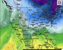
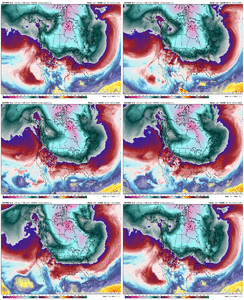
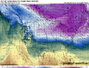
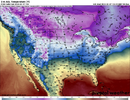
I like the looks of the Spire... honestly lines up pretty good with CMC/Euro.
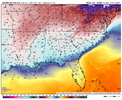
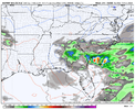
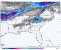
View attachment 145613View attachment 145614View attachment 145615
You have to love it when a model is showing that much evaporative cooling.
CNCsnwfan1210
Member
12z GFS went with a split of the SPV as well

Sent from my SM-A136U1 using Tapatalk

Sent from my SM-A136U1 using Tapatalk
LukeBarrette
im north of 90% of people on here so yeah
Meteorology Student
Member
2024 Supporter
2017-2023 Supporter
Lakes Low for 18th system yikes
GFS really being a complete buzz kill.
18Z GFS is a trainwreck through 240. 18th is a cutter into zonal flow so likely not much to write home about after.Lakes Low for 18th system yikes
ATLwxfan
Member
18Z GFS is a trainwreck through 240. 18th is a cutter into zonal flow so likely not much to write home about after.
GFS and its ensembles are on an island right now
Sent from my iPhone using Tapatalk
coldfront22
Member
The GFS destroys the cold. A bad Happy Hour.
I wouldn’t say the GEFS is on an island, but I just can’t understand why anyone can put any value in the Op GFS past 5 days out. It literally went from a southern GA/SC winter storm to a cutter in one runGFS and its ensembles are on an island right now
Sent from my iPhone using Tapatalk
MichaelJ
Member
Yep, we should have learned by now that the GFS OP sucks and changes with every run. Could it be right? Sure, but it is a very rare occurrence.I wouldn’t say the GEFS is on an island, but I just can’t understand why anyone can put any value in the Op GFS past 5 days out. It literally went from a southern GA/SC winter storm to a cutter in one run
It will need some pals before many think it's rightYep, we should have learned by now that the GFS OP sucks and changes with every run. Could it be right? Sure, but it is a very rare occurrence.
Another day, another dip!


Flotown
Member
somebody post gefs when u can cause that gfs run was horrible..bet they diff
GFS and Euro are virtually identical out to 180 at h5 - with probably the most significant difference being with the vortex in the NE. Pretty remarkable if you ask me.Yep, we should have learned by now that the GFS OP sucks and changes with every run. Could it be right? Sure, but it is a very rare occurrence.
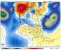
NBAcentel
Member

