-
Hello, please take a minute to check out our awesome content, contributed by the wonderful members of our community. We hope you'll add your own thoughts and opinions by making a free account!
You are using an out of date browser. It may not display this or other websites correctly.
You should upgrade or use an alternative browser.
You should upgrade or use an alternative browser.
Pattern February 2024
- Thread starter SD
- Start date
wow
Member
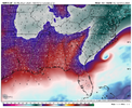
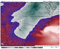
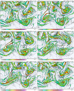
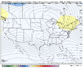
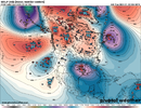
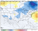
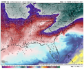
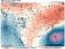
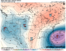
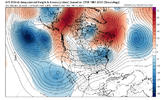
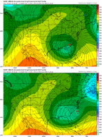
Canadian looks good.. temps are crashing NW of the sfc low as it bombs off shore. Just a little too warm verbatimCMC looks like crap so far at the SFC but it’s so much better at H5 View attachment 144251
NBAcentel
Member
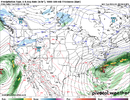
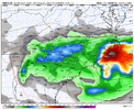
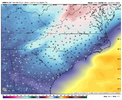
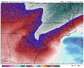
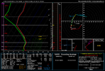
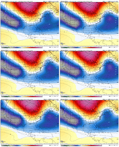
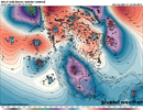
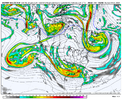
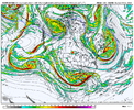
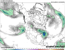
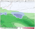
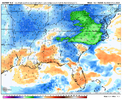
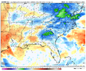
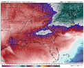
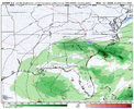
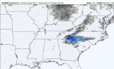
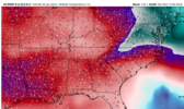
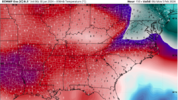
a 975 off frying pay shoals? are we sure we don't need to pay attention to wind shear and SSTsThis is so close to a nuking View attachment 144258View attachment 144259View attachment 144260View attachment 144261
Never liedCMC looks like crap so far at the SFC but it’s so much better at H5 View attachment 144251
CNCsnwfan1210
Member
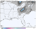
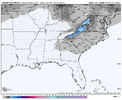
CMC actually had some snow down in southern SC

Sent from my SM-A136U1 using Tapatalk

Sent from my SM-A136U1 using Tapatalk
NBAcentel
Member
Just one more of that and something that can’t be unseen will be seenNever lied View attachment 144263
I think it's clear what we're looking for. Still a looong way to go, but the pay window could be about to open. GFS definitely took a step towards it's ensembles, ICON went all the way and even the CMC, which was in the euro camp as far as being furthest east with northern vortex also came a long way back to this idea at H5.It’s the @1300m winning move
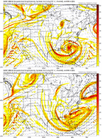
Couple sizable moves. It’s a shame we’re having to spend all this time backtracking and undoing last nights 00z suite. That was such a backbreaker but that’s the name of the game around hereJust one more of that and something that can’t be unseen will be seen
NBAcentel
Member
NBAcentel
Member
NBAcentel
Member
NBAcentel
Member
Hard to tell if the gefs is gonna be better or not, you can see certain things that have happened on modeling tonight occur a little but it’s still so smoothed out
Bingo. Comparing the GEFS mean at h5 w/ GFS and ICON, it seems like the northern vortex and our southern ULL are nearly identically placed. As I've been discussing, it's that energy wrapping around the northern vortex that is the make it or break it and it's too far out / too smoothed still to fully pick up on it, but the slight eastward adjustment in the GEFS combined with a stronger, more northern southern ULL track will allow it to better interact potentially. We'll see!Hard to tell if the gefs is gonna be better or not, you can see certain things that have happened on modeling tonight occur a little but it’s still so smoothed out
NBAcentel
Member
This is gonna be how many runs in a row with over a 1” mean for CLT ?
NBAcentel
Member
CNCsnwfan1210
Member
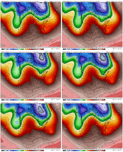
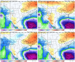
That's a pretty stout piece of energy heading south out of GreenlandInteresting trend on the CMCE View attachment 144277
Sent from my SM-A136U1 using Tapatalk
NBAcentel
Member
00z Euro had some odd interactions underneath the ridge early on, but it has definitely stepped towards the ICON/GFS/UKMET overall at H5 with the northern vortex regardless of where it goes from here.
NBAcentel
Member
NBAcentel
Member
000
FXUS62 KGSP 300533
AFDGSP
Area Forecast Discussion
National Weather Service Greenville-Spartanburg SC
1233 AM EST Tue Jan 30 2024
Confidence remains low on the track
of the upper low, but a nonzero possibility of wintry precip does
exist Sunday into Monday across portions of western NC. A wetter/more
northern track could translate to warmer temps and thus increasing
probs of all rain, but on the other hand this would open us up to
instability and thunderstorms particularly over the southern zones.
Wouldn`t rule out either (or both!) at this point, Sunday and/or
Monday.
iGRXY
Member
Cary_Snow95
Member
BHS1975
Member
Monster wedge. Great that it's on the euro.
Sent from my iPhone using Tapatalk
rburrel2
Member
The timing of the possible storm is getting pushed back, too. We were talking around the 4th and now we're looking at the 7th.
- Joined
- Jan 23, 2021
- Messages
- 4,602
- Reaction score
- 15,197
- Location
- Lebanon Township, Durham County NC
Control run moved the 850 temp isobars all about 100-150 miles south from 0z op by hour 144.
rburrel2
Member
The bad news, we're done with snow chances after next weeks threat that's on life support until February 15th.
The good news, February 15-20 looks chef's kiss perfect for a winter storm.
The good news, February 15-20 looks chef's kiss perfect for a winter storm.
BHS1975
Member
Cross polar flow

-nao

Ridge out west

50/50 low

Beefy southern jet

If we don't score with that we suck.
rburrel2
Member
Wedge underdone. I’ve gotta bury my head in the sand and just believe. 12z gonna be a pants party.
rburrel2
Member
This one is far from over. I think it's pretty clear who's still in the game though. Eastern side of the NC Mountains and especially the escarpment/foothills area back to Charlotte. And possibly Upstate SC.
What we need? The northern vortex to trend a little deeper and further south, while keeping the southern wave robust and in tact enough to get the back axis in to the cold air feed on Monday.
Euro control is pretty much the playbook for this. The GFS/Euro/CMC show the same idea but are just a little too late/too warm to capitalize. (Euro did show some snow around charlotte.)
The dynamics with this storm are strong so there is upside potential if things go right. Also there will be a ripping CAD feed Monday morning so we shouldn't have to fight much of a boundary layer as 925mb temps will crash quick,(assuming the northern lobe drops in hard and heavy beforehand like the Euro control shows)

