NBAcentel
Member
Icon dug another vort behind the main cold vortex. Damn. Some GFS runs have tried that but to slow
I don't remember Jan 25 2000. Was that a board wide or just NC?
This was the GFS…it had it snowing 500 miles NW of where it verified from 6 days out.The iCON absolutely nailed the event yesterday for the NE 6 days out…just saying
View attachment 144221
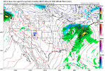
I think I may have gotten some flakes too from that one. Hart County GA. Thats what I was wondering. Going down snow memory lane. Thanks
I could watch that all day

It runs at the highest resoloution of all globals. Right there with euro, maybe higher if memory serves me correctThe iCON absolutely nailed the event yesterday for the NE 6 days out…just saying
View attachment 144221
The ICON pops a ridge into Greenland a bit, tilting it positively, causing the axis of the SE Canada low to extend further into the NE. That doesn't happen with the GFS to the same extent. It's certainly good to see slightly lowered heights this run- probably won't bomb like the ICON. Also looking less amped.Really the GFS and ICON look very similar through 100 with the placement of everything.View attachment 144235View attachment 144236
The ICON pops a ridge into Greenland a bit, tilting it positively, causing the axis of the SE Canada low to extend further into the NE. That doesn't happen with the GFS to the same extent. It's certainly good to see slightly lowered heights this run- probably won't bomb like the ICON. Also looking less amped.
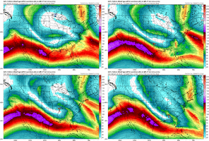
It's coming a lot colder this run, and MSLP is down to 979 MB.Damn the energy is falling flat on its ass in the NE. CMC is really amplified, has rain all the way up to DC. Multiple areas of vorticity embedded in the ULL as well View attachment 144247
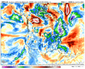
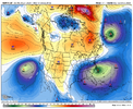
It’s the @1300m winning move
Rain is at the surface, but this is at least mixed precip across central NC.CMC looks like crap so far at the SFC but it’s so much better at H5 View attachment 144251
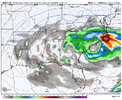
Makes me think the surface will catch up to the H5 lookCMC looks like crap so far at the SFC but it’s so much better at H5 View attachment 144251
That's actually a textbook position for central/eastern NC snowstorms.It's coming a lot colder this run, and MSLP is down to 979 MB.View attachment 144250View attachment 144249
