• Hello, please take a minute to check out our awesome content, contributed by the wonderful members of our community. We hope you'll add your own thoughts and opinions by making a free account!

Pattern February 2024

for the dummies ill ask..u think its gonna be colder?
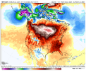
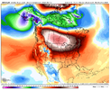
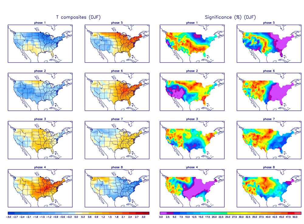
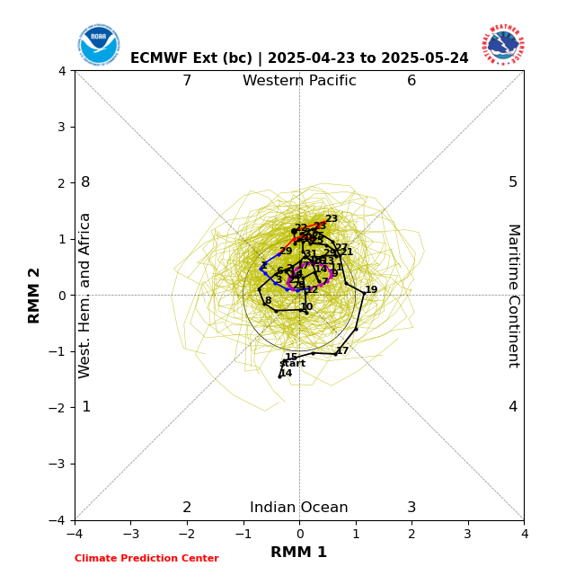
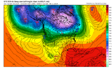
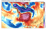
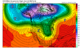
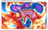
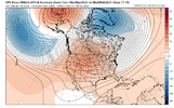
I'm just not sure, the ridge in the west could go poleward, the jet keep from extending, and the tpv sink southward toward southern Hudson Bay or the great lakes and we are cold. Conversely we could see the ridge spike initially, it gets undercut the by an over extended pac jet and AN heights expand across the US and we alternate cool and warm. The mjo in p7 doesn't exactly give me the warm fuzzies that scenario 1 is correct and it could be more like 2/10-14 before we see a cold pattern.
 
Fab Feb trying to do Fab Feb things before Jan officially ends

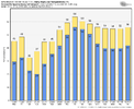
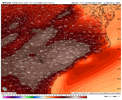
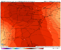
View attachment 142704
?

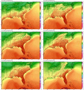
U25tvFc.gif
 
We were driving from Nashville back over the mountains. It was 54 in BNA when we left and still in the 50s as we crossed through the mountains on 40 east. By time we got down the hill to Rutherfordton County, it was dropping through the lower 40s. As I recall, that event was progged to be all freezing rain(after the awful December storm) and sleet saved the day.
Yeah it was supposed to be a bad ZR event for CLT metro on the forecasts the day before. If I remember correctly at the 11pm news the night before the storm, Eric Thomas said that the newest models were coming in colder and he thought we might end up with a sleet/snow event after short period of ZR
 
Yes I remember the 03 had lots of sleet and a little snow. Storm stronger than expected if I remember correctly. Let’s hope grits map is accurate for months end. ?
 
13-14 Neutral
14-15 Weak El Nino
15-16 Super El Nino
Oh thats a biggie then, ill have to check off my wishcasting 2014 analaog an head back to the drawing board. I was correct it evolved over a couple of seasons and ended up strong 2016. Really should only apply 2016. Thanks Grit for pointing out.

But notice jan,feb,march 2016 was neutral. Which explains why it was so so good. And why always root for a neutral state imo.
 
Yeah it was supposed to be a bad ZR event for CLT metro on the forecasts the day before. If I remember correctly at the 11pm news the night before the storm, Eric Thomas said that the newest models were coming in colder and he thought we might end up with a sleet/snow event after short period of ZR
You know I think I remember that exact newscast. He had a killer winter that year - they were the ones who predicted 1/23/03 could be a bigger deal at 11PM.
 
I'm just not sure, the ridge in the west could go poleward, the jet keep from extending, and the tpv sink southward toward southern Hudson Bay or the great lakes and we are cold. Conversely we could see the ridge spike initially, it gets undercut the by an over extended pac jet and AN heights expand across the US and we alternate cool and warm. The mjo in p7 doesn't exactly give me the warm fuzzies that scenario 1 is correct and it could be more like 2/10-14 before we see a cold pattern.
Phase 7 in February actually has a higher percentage chance of producing winter storms in NC than phase 1-2. I do think you’re right that there will be some variability to the pattern and we will see a bit of a see saw. The biggest thing that I like is seeing the location and orientation of that PV… it’s set up to give some good CAD events
 
You know I think I remember that exact newscast. He had a killer winter that year - they were the ones who predicted 1/23/03 could be a bigger deal at 11PM.
You’re right about that 1/23/2003 storm. He showed at 11pm how that meso-low had just formed back over the western Upstate that the models had just picked up on during the evening and he said that he thought there was going to be a surprise. Nothing though will match a year later with him when at 11pm the night before the February 2004 storm, he had the entire CLT metro area getting 6-10” and said point blank that if it busted he would be too low and that several models were showing 13-20”… the two news anchors laughed at that.
 
Oh yeah, it’s far from perfect even if the ridge axis is in the right spot, but just trying to get some colder air back into the CONUS as a start
For sure. If we're lucky enough to have cold air nearby, we're in the game. As always, it comes down to the details. None of the really great-looking patterns we've seen in the LR so far have produced anything east of the Apps. Who knows. Hopefully, we do indeed end up with some cold air on our side of the continent....somewhere.
 
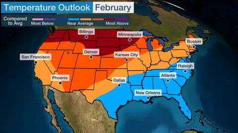
Alan Huffman's update this morning for Fab Failbruary was not to promising.
So the theme here is that the first week to 10 days of February could be variable or go either way. At this point it would be fair to be skeptical of any sustained/long cold this winter in the East. This is a strong shot we are going through now, and I wouldnt be surprised to see another one in February, but it may be more like mid to late February and February is not looking to me to be wall to wall cold.

I am sure for snowlovers in my area at least (North Carolina outside the mountains) it will turn plenty cold in late February and March just in time for very cold rains. Pardon the cynicism.
Trying to predict the month of February when it's still 2 weeks ago is not smart.
 
Back
Top