-
Hello, please take a minute to check out our awesome content, contributed by the wonderful members of our community. We hope you'll add your own thoughts and opinions by making a free account!
You are using an out of date browser. It may not display this or other websites correctly.
You should upgrade or use an alternative browser.
You should upgrade or use an alternative browser.
Pattern February 2024
- Thread starter SD
- Start date
packfan98
Moderator
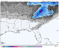
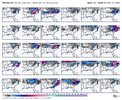
Best GEFS run so far for the time period around the 5th...


Looks like it was still going!Best GEFS run so far for the time period around the 5th...

Some big dogs in there and several different outcomes - I'll at least give the GEFS some kudos for having more of an appropriate dispersion of solutions for an ensemble lately than it usually does, as would obviously be expected, this far out.
rburrel2
Member
I don't like seeing Virginia in the cross hairs already. I think there's a limit to how far north this can shift assuming the tpv drops down and pinches off, but either way i'd rather keep the suppressive look as long as possible. I'm now more worried about losing this storm to a too far north track opposed to suppression.
Webberweather53
Meteorologist
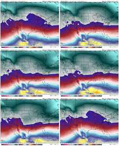
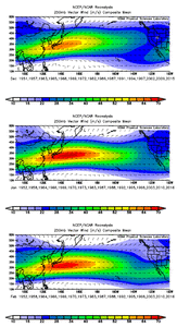
This week’s Pacific Jet extension is a friendly reminder to S2S forecasters and amateurs alike that an equatorward-poleward shift of the Pacific Jet ultimately has a greater influence on eastern US temperature variability than an extension-retraction. You really need both an extension + poleward shift like we saw in Dec to really get a “torch” pattern over the eastern US.
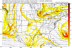
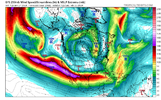
Just to reinforce this point, attached here is the 250mb vector wind mean for Dec thru Feb during moderate-strong Ninos since 1950.
Notice how the Pacific Jet actually becomes more extensive in Jan-Feb, but shifts equatorward compared to Dec. This is one underlying dynamical reason why Jan and esp Feb tend to be colder/snowier than Dec in El Niño winters

Webberweather53
Meteorologist
This week’s Pacific Jet extension is a friendly reminder to S2S forecasters and amateurs alike that an equatorward-poleward shift of the Pacific Jet ultimately has a greater influence on eastern US temperature variability than an extension-retraction. You really need both an extension + poleward shift like we saw in Dec to really get a “torch” pattern over the eastern US.
Just to reinforce this point, attached here is the 250mb vector wind mean for Dec thru Feb during moderate-strong Ninos since 1950.
Notice how the Pacific Jet actually becomes more extensive in Jan-Feb, but shifts equatorward compared to Dec. This is one underlying dynamical reason why Jan and esp Feb tend to be colder/snowier than Dec in El Niño winters
View attachment 143585
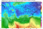
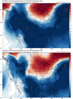
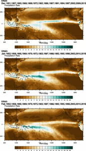
This extension + equatorward shift of the Pacific Jet in Jan-Feb is likely tied to the development of the South Pacific Convergence Zone (SPCZ) NE of Australia.
Here’s ERA-5 precip means for Dec thru Feb for the same subset of years:
sorry brothers but this is my storm
Yeh brotha I think this is house money in early February. Our turn comes later in Februaryalready such a marginal setup, gonna be tough down here my way but that dog will hunt for somebody. Just hoping we don’t suffer through tracking another MA storm. Y’all reel it in this week View attachment 143592
Everyone else's snow dreams aside, It looks like NC ski resorts could really be padding those snow totals come early February. Epic year incoming.already such a marginal setup, gonna be tough down here my way but that dog will hunt for somebody. Just hoping we don’t suffer through tracking another MA storm. Y’all reel it in this week View attachment 143592
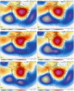
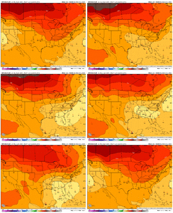
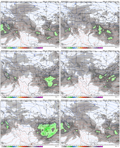
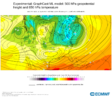
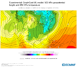
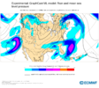
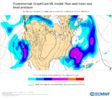
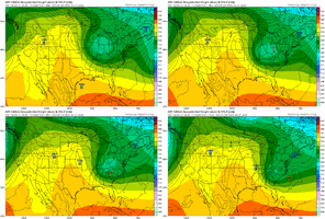
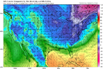
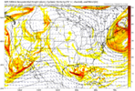
The real question is hows the spire lookingHere is the 00z Google DeepMind AI Graphcast run by ECMWF. It's solution is south this run with light precip as the 50/50 low is overpowering. Not that this will be correct of course, but they've been having some positive results from these AI models from what I've seen
View attachment 143593
View attachment 143594
View attachment 143595
View attachment 143596
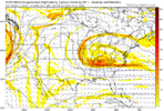
This week’s Pacific Jet extension is a friendly reminder to S2S forecasters and amateurs alike that an equatorward-poleward shift of the Pacific Jet ultimately has a greater influence on eastern US temperature variability than an extension-retraction. You really need both an extension + poleward shift like we saw in Dec to really get a “torch” pattern over the eastern US.
Just to reinforce this point, attached here is the 250mb vector wind mean for Dec thru Feb during moderate-strong Ninos since 1950.
Notice how the Pacific Jet actually becomes more extensive in Jan-Feb, but shifts equatorward compared to Dec. This is one underlying dynamical reason why Jan and esp Feb tend to be colder/snowier than Dec in El Niño winters
View attachment 143585
Good posts Eric. I have done some similar El Nino Pac Jet composites but never understood why the avg Feb Jet would be farther south. The SPCZ moving south makes it come to light. Thanks.This extension + equatorward shift of the Pacific Jet in Jan-Feb is likely tied to the development of the South Pacific Convergence Zone (SPCZ) NE of Australia.
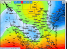
Here’s ERA-5 precip means for Dec thru Feb for the same subset of years:
View attachment 143589
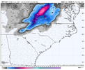
We will get a good Naming off this one soon. Want mean anything but ill be shocked if doesnt happen this weekend lol.The 06z GFS gives the triad a bone for some snow showers next Wednesday
View attachment 143578
They get ball rolling tommorow night, again mid week, and then get nuked next Sunday.Everyone else's snow dreams aside, It looks like NC ski resorts could really be padding those snow totals come early February. Epic year incoming.
LukeBarrette
im north of 90% of people on here so yeah
Meteorology Student
Member
2024 Supporter
2017-2023 Supporter
That clipper is so intriguing its just far to find good cold south of the VA border
LukeBarrette
im north of 90% of people on here so yeah
Meteorology Student
Member
2024 Supporter
2017-2023 Supporter
I agree a lot. Definitely could see a 2-4 event up here in VA but going to be hard to find low level cold down there. Hell even temps here are hovering around the freezing mark when it swings thru.That clipper is so intriguing its just far to find good cold south of the VA border
rburrel2
Member
rburrel2
Member
Help me understand it. Surface, Dews, 850’s all sufficient around here as the Clipper drops in then *poof*. I want to understand itThat clipper is so intriguing its just far to find good cold south of the VA border
?


Incoming? ?
coldfront22
Member
Do we have an Incoming on the GFS?
Missed south but PERFECT RUNDo we have an Incoming on the GFS?
LukeBarrette
im north of 90% of people on here so yeah
Meteorology Student
Member
2024 Supporter
2017-2023 Supporter
Blue_Ridge_Escarpment
Member
I imagine the ensembles will be big hits againView attachment 143611
Shortwave didn’t want anything to do with us
LukeBarrette
im north of 90% of people on here so yeah
Meteorology Student
Member
2024 Supporter
2017-2023 Supporter
Naturally the ensembles will look betterI imagine the ensembles will be big hits again
She sheared out. Regardless, as an I-20 hopeful, I still like our chances with everything shifted south.


She’s just trying to avoid the inevitable. Which is one hell of a February.View attachment 143611
Shortwave didn’t want anything to do with us
LukeBarrette
im north of 90% of people on here so yeah
Meteorology Student
Member
2024 Supporter
2017-2023 Supporter
Don’t look at the Canadian, thanks
I think the deterministic models are trying to mess with the machine-learning models lol. Such consistency ?


