-
Hello, please take a minute to check out our awesome content, contributed by the wonderful members of our community. We hope you'll add your own thoughts and opinions by making a free account!
You are using an out of date browser. It may not display this or other websites correctly.
You should upgrade or use an alternative browser.
You should upgrade or use an alternative browser.
Pattern February 2024
- Thread starter SD
- Start date
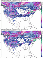
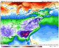
GFS is totally different at day 10 compared to the Canadian & Euro. Cold air placement is not in position on the GFS. Trough placement is not where we need it.
Last edited:
NWMSGuy
Member
If we could get that cold air in sooner at HR 258 on the GFS that would be a nice hit for the Mid-South with that low placement.
The GFS might be setting up something behind the initial storm too.


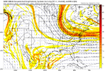
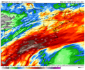
The CMC was headed for a winter storm - baggy southern stream on top of Mexico, and a really good cold feed from the Atlantic trough, really nice winter storm setup, like the ens hint at 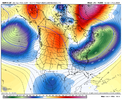
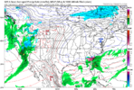
GFS oth dumps the TPV and slows it around the lakes, hence the cutter, need that farther out ahead or peiced together with the Atlantic trough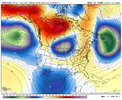
CMC is the exact progression you want as was likely headed for a big time winter storm across the SE, this time period (the first one of interest) holds potential for a SE winter storm imo

GFS oth dumps the TPV and slows it around the lakes, hence the cutter, need that farther out ahead or peiced together with the Atlantic trough

CMC is the exact progression you want as was likely headed for a big time winter storm across the SE, this time period (the first one of interest) holds potential for a SE winter storm imo
The CMC was headed for a winter storm - baggy southern stream on top of Mexico, and a really good cold feed from the Atlantic trough, really nice winter storm setup, like the ens hint at View attachment 145553
GFS oth dumps the TPV and slows it around the lakes, hence the cutter, need that farther out ahead or peiced together with the Atlantic trough View attachment 145550
CMC is the exact progression you want as was likely headed for a big time winter storm across the SE, this time period (the first one of interest) holds potential for a SE winter storm imo
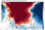
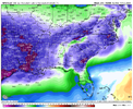
Dang thats impressive...GFS/CMC both agree on dropping a legit cold HP into the conus.
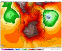
LukeBarrette
im north of 90% of people on here so yeah
Meteorology Student
Member
2024 Supporter
2017-2023 Supporter

Another wave coming up from the gulf region after Feb 18 system. Cold air would be in place here, lets see how it pans out.
coldfront22
Member
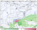
Too Warm on GFS for anything wintry Feb 18-19th timeframe?
Oh the possibilities:


Yeah, I’d say what could really go wrong is doing what we did in January, or basically the OP GFS, dumping the TPV in a inadequate location. we need to keep that area around the lakes with some sort of ridge trailing the big Atlantic trough, this setup with the southern stream has boom potential, it’s not high amped but it’s a huge subtropical trough under a strong subtropical jet stream. It’s gonna be juiced. The signal on the ensembles is there for a juiced up system, we just need to time the 50/50 low right and not have any sort of energy dumping around the lakes/northern plains otherwise it ruins the cold feed and high pressure. Lots of time though. All we can hope is ensembles continue to show what they show and OP runs start showing somethingDang thats impressive...GFS/CMC both agree on dropping a legit cold HP into the conus.
View attachment 145556
You get the feeling the GEFS is going to be loud here shortly.
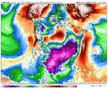
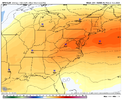
This look from last nights EPS is close to the Miller B winter storm composite for NC, big 50/50 low, the area around the lakes is clean from any big TPV lobe with some ridging near the lakes which encourages descent —> high pressure , and a low amplitude southern stream wave/baggy trough progressing east, want to see this look show up more and more, and keep clean of anything around the lakes 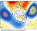

Stormlover
Member

