Getting moderate snow right now in red bank north of Chattanooga.
That initial band fell apart over me just as it was starting to dust the decks/rooftops, lol. Oh well, good to see some at least.
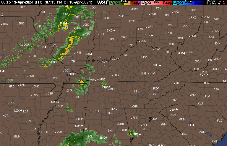
Getting moderate snow right now in red bank north of Chattanooga.


Looks like showers building to the west moving in from the plateau. Looks like more snow showers will push through the Chattanooga area and north Georgia.That initial band fell apart over me just as it was starting to dust the decks/rooftops, lol. Oh well, good to see some at least.
Yeah the showers are building a bit better than modeled. Plus you can see round 2 trailing behindLooks like showers building to the west moving in from the plateau. Looks like more snow showers will push through the Chattanooga area and north Georgia.
Light snow here
I'm 20 min from you lolLight snow here?
If you crop the picture I’ve found that seems to work just crop it a little on the top or bottomDon't know why my pic not loading. Its saying pic to large, but anyways its starting to stick with a light coating
Pure virga here. Seems pretty underwhelming so far.
yeah tonight is a better chanceI think our chance will be tonight
Sent from my iPhone using Tapatalk
It's been snowing steady for at least 2 hours now none stop. Nice coating
Murphy NCWhere at?
Sent from my iPhone using Tapatalk
Still looks decent to your westMurphy NC

One good snow and lots of trace amounts.You have had a good winter up there huh?
Sent from my iPhone using Tapatalk

Hrrr loops shows that MCV signal, gets going in around Cabarrus/Rowan counties then organizes towards ENC View attachment 36502

I'm going to hope for some graupel from that cell heading over the midlands with the yellows. I'm sure it will fail, as usual. Bad timing, tbh.


Could be radar hallucinations but this line entering the western upstate looks healthy..hrrr doing what it’s known to do, be to high with sfc Dews, probably gonna correct to lower wet bulbs which means closer calls in the deepest Convection View attachment 36505
Could be radar hallucinations but this line entering the western upstate looks healthy..
I’m scared to look lolWhat’s your temperature/dew point rn ?
48/24, wetbulb is 40 degrees, closeI’m scared to look lol


