-
Hello, please take a minute to check out our awesome content, contributed by the wonderful members of our community. We hope you'll add your own thoughts and opinions by making a free account!
You are using an out of date browser. It may not display this or other websites correctly.
You should upgrade or use an alternative browser.
You should upgrade or use an alternative browser.
rburrel2
Member
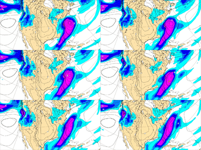
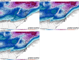
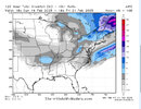
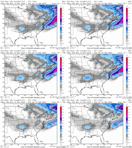
I just realized Northern Mississippi is a virtual lock for a 3-6 incher. Both the Euro and Euro AI hammer them. Sigh
Snowlover34
Member
what about northern Alabama?I just realized Northern Mississippi is a virtual lock for a 3-6 incher. Both the Euro and Euro AI hammer them. Sigh
SnowNiner
Member
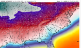
Yeah I think that is right. TPV dropped a good bit farther south. Our problem east of the mountains is that our starting place is so “warm”. Need more cold air in place out front.
So what we thought was good and what we needed is actually not good enough. Still too warm. Seems like we fighting an unwinnable battle on this one.
Sure is locked in with a small shift south on the last run. Hard not to be cautiously optimistic
packfan98
Moderator
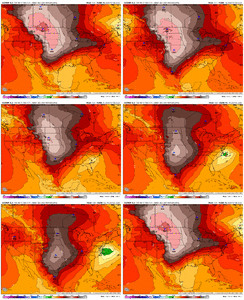
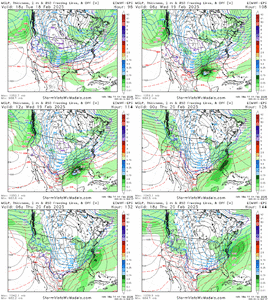
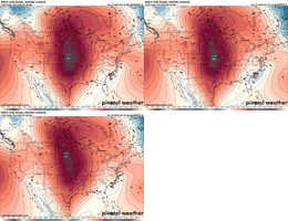
Looks like it and the GFS suite are trending towards the AIFS. Is that what you’re seeing? This EPS is definitely colder at 850 and more progressive than earlier runs.
It’s going to be hard to beat the EPS at this range. A perfect scenario would be any blend of EPS and AI.Looks like it and the GFS suite are trending towards the AIFS. Is that what you’re seeing? This EPS is definitely colder at 850 and more progressive than earlier runs.
packfan98
Moderator
Yeah, if the normal trends apply, the system will get squashed a bit the next couple of days before roaring back with 60 hours to go. I’m just trying to avoid an ice storm. I guess beggars can’t be choosers.It’s going to be hard to beat the EPS at this range. A perfect scenario would be any blend of EPS and AI.
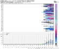
wow
Member
With that track, climo says it will be. Looking pretty good for a snow to sleet event for the I-85 corridor.
It all boils down to how much cold air is in place. Would much rather see that HP scoot in faster before the low. GSP alluded to this earlier in their discussion.
I’m sort of in your camp, wow. It’s either a I40 north storm or it’s not and at this time I don’t think this one is strictly reserved for them. So we move to the next latitude. I-85. Long wave pattern and cold anoms on our side of the hemisphere support it.With that track, climo says it will be. Looking pretty good for a snow to sleet event for the I-85 corridor.
Pops
Member
Looks like round 1-2 especially nwwhat about northern Alabama?
Idk what this EPS-ICON thing is but just to use as a point of reference the issue is Brent can’t be setting record lows with snow in Oklahoma while we await an overrunning winter storm. We need that high less consolidated in the middle of the country. A banana high. 1045 parent high in the plains with a 1039+ anchored north of us. Then we set snowfall records. Plus our 50/50 low is not anchored the way it was during the gulf snow last month. It’s a great pattern, but not the greatest.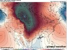

So in essence it IS late arriving cold, then a redeveloping wave with an attempt at overrunning. It’s not our bread and butter but it can work. And it can still snow/ice/sleet in 2025
Snowman63
Member
Now that's rich. I could vision the same comment from someone in North Mississippi about South Carolina. lolI just realized Northern Mississippi is a virtual lock for a 3-6 incher. Both the Euro and Euro AI hammer them. Sigh
packfan98
Moderator
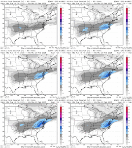
Looks like the 18z Euro AI is locked in. Still suppressed and wide right.
rburrel2
Member
rburrel2
Member
Lol, nah man I hope you guys get snow. You do look to be in a good spot this time again.Now that's rich. I could vision the same comment from someone in North Mississippi about South Carolina. lol
NBAcentel
Member
I'm a little dizzy from watching that but I think I like what I see
yeah, I need a time cycle
Pops
Member
Can you show earlier frames back west please??thanks
rburrel2
Member
Teach Lesley
Member
Need some state lines on this map.
I don't think it gives you that granularity. Not in this release timeframeNeed some state lines on this map.
NBAcentel
Member
rburrel2
Member
Free here too
rburrel2
Member
I just keep wondering how long is this trend going to keep going. Every run I've been thinking this is the last run it'll stop or reverse.
packfan98
Moderator
Two more ticks and it goes boom???
GeorgiaGirl
Member
Surface temps aren't really even all that close to what would peak my interest though for the general area (mine and to my east) if I really did buy this. I checked with an even less suppressed AI run since the 850 line caught my eye and it was in the 40s at least to start the precip event.
Just checked again since this caught my eye, and I still wouldn't say it's that close. Maybe flurries, no accumulation.
The 1-3" for my county and to the north was definitely impactful on 1/21, but I can also back up Mitch and say that it took at least an hour or so longer than I thought for traffic to turn into a mess for people who were out driving? You had local TV driving around just fine at around 6:30, although I think it was starting to go downhill then.
Didn’t change the overall in mby but looks more sleetish than zr
packfan98
Moderator
What are you latest thoughts?I just keep wondering how long is this trend going to keep going. Every run I've been thinking this is the last run it'll stop or reverse.
NBAcentel
Member
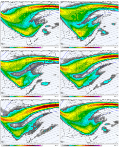
Perhaps I’d we can sharpen the southern wave up while slowing it. there some differences to with how the AI handles that feature on the western US that acts as a kicker vs other models, which impacts the northern lobe and prevents it from hanging backTwo more ticks and it goes boom???

