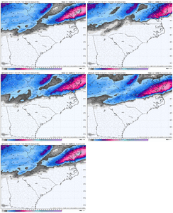
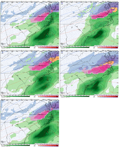
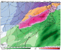
Packfan, we where about 18 miles from getting half foot on that one. 6 inches Guilford County
-
Hello, please take a minute to check out our awesome content, contributed by the wonderful members of our community. We hope you'll add your own thoughts and opinions by making a free account!
You are using an out of date browser. It may not display this or other websites correctly.
You should upgrade or use an alternative browser.
You should upgrade or use an alternative browser.
That icon run is probably 4 inches+ of sleet along the US1 corridor with 925s -4c and colder
CNCsnwfan1210
Member
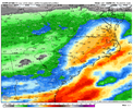
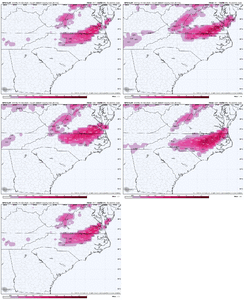
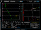
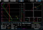
Absolute sleet storm at RDU, icon precip maps shows ZR but that’s sleet in reality with that cold layer and as evident with that sounding View attachment 169096
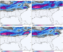
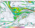
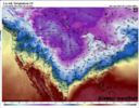
View attachment 169097View attachment 169098View attachment 169099
Below freezing down to Florence, SC definitely a tick colder than previous runs
Sent from my iPhone using Tapatalk
NBAcentel
Member
Pops
Member
Icon SOOO close here...geez
iGRXY
Member
Again I find an along and east of 77 solution hard to believe.
SnowNiner
Member
Late bloomer. I think if we get a storm, Raleigh is going to get the best of it. The storm doesn’t really get going on a bunch of models until it gets to the Atlantic

I’m just curious to see if thing is going to turn the corner or not as we get closer. I’d still tend to believe an icon like depiction is wrong here. Scoots out to sea. I’m leaning towards something a little more amp’d going negative as soon as it gets the chance
CNCsnwfan1210
Member
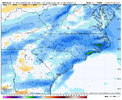
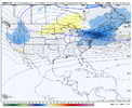
Icon is basically a significant winter storm along-east of 77 View attachment 169100
Yep that’s a generator printer, fits the bill with what the Euro/EPS has been showing
Sent from my iPhone using Tapatalk
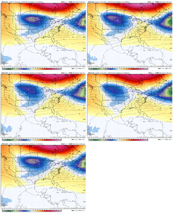
So we’re inside D5. You’re going to want to start watching those 500mb 48hr trend maps. I’d suspect we’re going to start seeing a lot of red over the SE the next 48-72hr which takes the late bloomer off the table. Just based on past experience
NBAcentel
Member
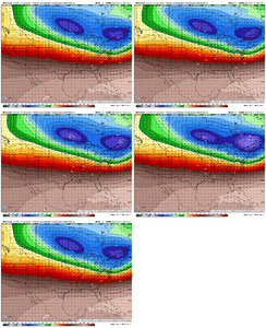
More stream interaction with the weekend cutter and TPV early on the GFS run. This could result in them more wound up together vs being separated and the TPV hanging back later on in the run. This is kinda what led me to believe the icon was gonna be better earlier
NBAcentel
Member
iGRXY
Member
GFS trend with more confluence continues
Pops
Member
What's good is all of us don't need muchGFS trend with more confluence continues
NBAcentel
Member
CMC early in the run has more stream interaction as well with this weekends cutter, meaning this is probably a legit trend with our confluence we’re seeing tonight
iGRXY
Member
NBAcentel
Member
SnowNiner
Member
Meh. Still pretty warm at clt at 114.
NBAcentel
Member
CNCsnwfan1210
Member

Ticking south on the GFS
Sent from my iPhone using Tapatalk
right on your door step thoughMeh. Still pretty warm at clt at 114.
WolfpackHomer91
Member
You and I are at 31 that frame and onMeh. Still pretty warm at clt at 114.
NBAcentel
Member
SnowNiner
Member
You and I are at 31 that frame and on
I don’t think so not quite. Doesn’t matter. Got to have the 50/50 keep trending west and we’ll be in the game.
CNCsnwfan1210
Member
Pretty bad ice storm on the GFS sheesh
Sent from my iPhone using Tapatalk
WolfpackHomer91
Member
Pretty good hammer job on gfs triad east. Lot like icon. Tons of ice to. GSO hits 6 inch mark again
Not going to have zr in Roanoke Rapids down to Fayetteville. Like to see the 925 line herePretty bad ice storm on the GFS sheesh
Sent from my iPhone using Tapatalk
NBAcentel
Member
CNCsnwfan1210
Member

Significant winter storm for NC/VA, the NE gets whiffed
Sent from my iPhone using Tapatalk
NBAcentel
Member
CMC looks the closest to a big phase tonight so far on modeling. It’s sucking in the mid Atlantic crowd and NE crowd. Just let them find out the hard way like we did
Tsappfrog20
Member
Canadian is going to throw a bomb
Sent from my iPhone using Tapatalk
Sent from my iPhone using Tapatalk
WolfpackHomer91
Member
Canadian super amped. Inland low just off the Atlantic. Sheesh
GeorgiaGirl
Member
CMC looks the closest to a big phase tonight so far on modeling. It’s sucking in the mid Atlantic crowd and NE crowd. Just let them find out the hard way like we did
Yep lol, I wouldn't trust the long range Canadian at least for the SE (but probably for the MA/NE as well). It was out to lunch on the idea with January 10th with it being late and then out to lunch on the idea of a phased bomb with January 21st.
Maybe the third time is the charm...but I doubt it.
Edit: Long range Canadian new DGEX?
WolfpackHomer91
Member
NBAcentel
Member
Mega Dec 2002 Redux ice Armageddon on the cmc gets upstate all up through NC. Ill pass on 1.5 freezing rain an sleet with temps in 20s
Has mby yard with 1.4 freezing rain .
Has mby yard with 1.4 freezing rain .

