• Hello, please take a minute to check out our awesome content, contributed by the wonderful members of our community. We hope you'll add your own thoughts and opinions by making a free account!

Wintry Feb. 19-20


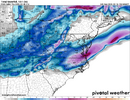
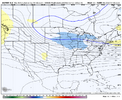
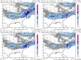
You can see the beginning of our Winter Storm at the end of this.

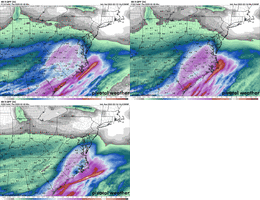
in GRAF do we trust? i know it did well on the earlier of the january storms and not so well on the second one, right?

Northern GA potentially getting in on a little bit of something with this run though, which other models arent showing at all


You can see the beginning of our Winter Storm at the end of this.

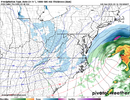
Now see that’s how the CAD normally works. You can see the storm hitting NE Georgia and Upstate SC and the blue starts showing up. That’s how I would expect it look but the models haven’t been showing that really.
 
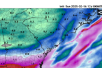
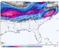
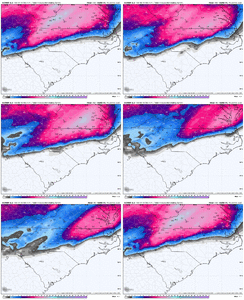
UKMET with the brutal Wake County snow gradient. It and a lot of other modeling has been pretty consistent with that, and with the heaviest totals happening from GSO north and east of there up through NE NC. Will be interesting to watch. I think there's still plenty of room for precip field expansion on the NW side, anyways, but with a late developing system getting a maximum in NE NC / SE VA makes sense.
U gotta love it that Wake County each time is the line of demarcation between heavy snow and sleet or freezing rain

Sent from my SM-S156V using Tapatalk
 
Wow the 12z ukmet was dreamy for the Upstate. Way colder at 850/925mb. It's solidly all snow and drops a widespread .25 inches of liquid. In fact it's got snow all the way to athens,ga and as far south as Greenwood, SC.

You can safely trash the Ukmet Snow map for the upstate, it's awful with boundary layer cooling. Guarantee you it's way off with that, and that's why it's not showing snow on the map.
 
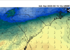
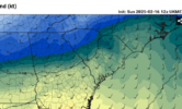
Here's 850mb/925mb temps from the ukmet at 10am Wednesday morning. Precip has just start for the upstate here... and these temps only get colder as the event finishes up.

View attachment 169637View attachment 169638View attachment 169639
Iv been on both sides of this. The cold doesn’t lock in enough and it’s a bitter rain. OR the cold locks in and further than expected and we stay snow for the duration of the event. It’s a hard call honestly. But that in house model does show the potential.
 
In case anyone missed it b/c I edited a previous post. But I'm 99% confident you can ignore the paltry snow map for the upstate on the ukmet. It's not showing much because of bogus warm surface temps. We will not have that issue if it's accurate with it's 850/925s, guaranteed. I've followed the ukmet a long time and this is 100% a known bias.
 
In case anyone missed it b/c I edited a previous post. But I'm 99% confident you can ignore the paltry snow map for the upstate on the ukmet. It's not showing much because of bogus warm surface temps. We will not have that issue if it's accurate with it's 850/925s, guaranteed. I've followed the ukmet a long time and this is 100% a known bias.

At least in the past, this used to be a common bias with the UKMET. Not sure if that's generally true anymore, though with this setup it seems like it might be.
 
Packfan we good,but walking a tight rope. On the line again, just from a different side. Still think this one gets us to and above climo for the year. No complaints an fingers crossed.
 
Looks like Jan 10 all over again. I know the people in the CLT area hated that one.
Depends on where you were. Northern Mecklenburg and Cabarrus counties had a solid 5-8”. The southern half of the metro out on the initial thump and ended up with only 1-3”. I also remember Matthew East mentioning after the storm that convection in the gulf cut off moisture for a time… he said CLT would ended up with 6” plus if not for that
 
Back
Top