SnowNiner
Member
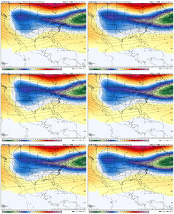
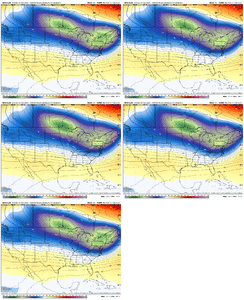
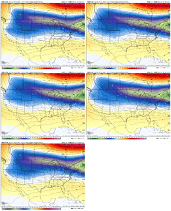
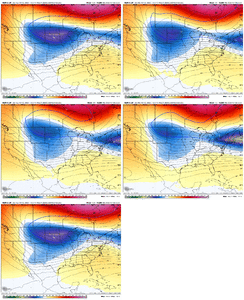
Lot of good analysis on here as usual. The continued early trend of more Atlantic confluence moving the east coast heights south is the one that is most interesting to me (better starting point for the cold air)
Safe to assume that the Euro suite is taking a lead role here, but we still need to see more model consensus to gain confidence in the forecast
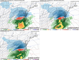
Precip duration and 500mb evolution suggest high end totals will be tough to achieve, though more potential as you get closer to the coast
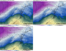
Temperature wise, my belief is that these colder trends will stabilize by tomorrow and climb north some Mon-Tue
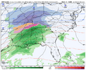
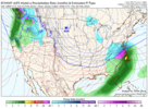
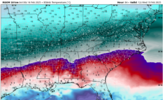
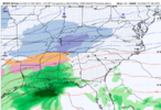
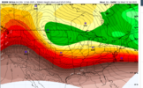
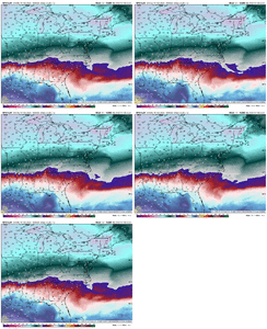
Here’s the 850 low track and temperatures on the 18z Euro. Green to blue is the 0 deg C line. Gotta believe the hi-res models will add warm nose warmth aloft along that line once they come into view
View attachment 169426
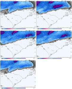
So….warmer, lower qpf, except toward the coast.
Edit to say that’s fair, seems to be a quick mover and a late bloomer, and has for a while. But hopefully it at least stays cold.
Last edited:

