Stormlover
Member
you must be joking, sitting in such a sweet spot and saying that....smhThis is got bust potential all over it for here. The air is so dry only virga is following
you must be joking, sitting in such a sweet spot and saying that....smhThis is got bust potential all over it for here. The air is so dry only virga is following
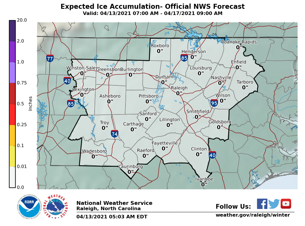
Roxboro jackpot makes sense.NWS Raleigh trimmed back their ice accumulation forecast. Maybe I won't lose power???

I wonder if these heavy snowfall rates will make it to North AL.yeah, models showing up to 3 in an hour
OUCH for AL. That 850 warm nose is a torch!
I saw that but those are observed temps so once they get some precip falling they should drop. Unfortunately I don't have atmospheric wetbulb or dew points in that programOUCH for AL. That 850 warm nose is a torch!
actually, it can happen, these are not surface based thunderstorms. There on top of the inversion/warm nose feeding off the WAA aloft, that’s how elevated thunderstorms work. So yes, it is possible.15 DP in Winston at 3:00 tomorrow, yeah, no that is not happening
Holes in the blanket ftw!!!I'm not 100% sold these clouds won't be shunted east or thinned out across NC. They are already hitting a wall. Nice bumpy clouds over LA tooView attachment 75956
We gonna overcome that in NW BAMA ???OUCH for AL. That 850 warm nose is a torch!
let us know when you snow...I'm downwind!!lolThis is got bust potential all over it for here. The air is so dry only virga is following
Thats the key....how much moisture will it take before the column is saturated. This could severely cut back on accumulations if it takes very long. I still think Florence may be the only “major” impacted city in AL....time will tell.I saw that but those are observed temps so once they get some precip falling they should drop. Unfortunately I don't have atmospheric wetbulb or dew points in that program
Florence may be the only place in AL that’s worth being at for this event.We gonna overcome that in NW BAMA ???
Easy, you are going to get a big one. Stop listening to someone who only trashes since he's not getting it.We gonna overcome that in NW BAMA ???
Yeah light precip and strong waa can easily crap out a sounding that needs wetbulbing to be snow. Most of the soundings I've seen from Al are razor thin, would be sweating bullets if I lived there. I think you are right about Florence being the best area, I still think a good amount of mainly sleet could fall over toward HSVThats the key....how much moisture will it take before the column is saturated. This could severely cut back on accumulations if it takes very long. I still think Florence may be the only “major” impacted city in AL....time will tell.
lol TRUEEasy, you are going to get a big one. Stop listening to someone who only trashes since he's not getting it.
Mositure really should start feeding in shortly. Radar even feeling in in North Alabama.This is got bust potential all over it for here. The air is so dry only virga is following
just inch that sweet spot over east 25 miles and we are in bidness.
Lancaster County, SC falls under Columbia's jurisdictionInteresting that they added the panhandle of Lancaster County to the WWA as well as York but not Union County. I don’t think I’ve ever seen only a small portion of a county added to any sort of advisory...
Yea, it's not done often. I've noticed it before but its usually in mountain counties with large differences in elevation. Wish it was done more often though---especially in larger counties.Interesting that they added the panhandle of Lancaster County to the WWA as well as York but not Union County. I don’t think I’ve ever seen only a small portion of a county added to any sort of advisory...
Yes! If you don't want Ice?Winds out the ESE . Is that good ?
Something is going on my temp and dewey are dropping offWinds out the ESE . Is that good ?
No issues here. Winds ESE 49/27Something is going on my temp and dewey are dropping off
Take away that brown strip down the middle and make it ice you have I-22 between Tupelo and the state line. Obviously MS didn’t treat roads and Alabama did cuz it was clear as a bell instantly at the state line.View attachment 75910
Took me 8 hrs to get there, when it's only a 5 hr drive.
