-
Hello, please take a minute to check out our awesome content, contributed by the wonderful members of our community. We hope you'll add your own thoughts and opinions by making a free account!
You are using an out of date browser. It may not display this or other websites correctly.
You should upgrade or use an alternative browser.
You should upgrade or use an alternative browser.
Pattern December to Remember
- Thread starter SD
- Start date
L
Logan Is An Idiot 02
Guest
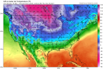
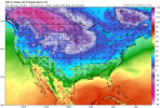
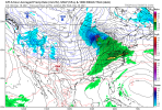
Gone!!! Actually late mid range. Nice!!!View attachment 98327
Looks like it doesn’t truly make it east of the apps lol. I guess it’s better than previous runs
Looks like it doesn’t truly make it east of the apps lol. I guess it’s better than previous runs
L
Logan Is An Idiot 02
Guest
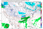
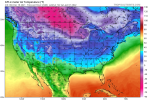
It’ll get cool. The trough is sliding East.View attachment 98328
Meh. Everyone very cold except the southeast. It’s an improvement though
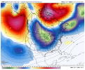
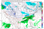
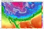
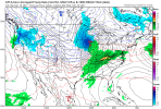
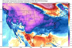
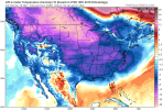
Wouldn’t take much for this one is be a big boy with all the attic air to the north.Are we gonna get a New Year Special.View attachment 98329View attachment 98330
L
Logan Is An Idiot 02
Guest
Yeah it just looked like to me that it stalled over the center of the country. I guess it has to move east eventuallyIt’ll get cool. The trough is sliding East.
View attachment 98331
L
Logan Is An Idiot 02
Guest
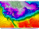
Looks like another push coming.Now that’s what we all love to see! View attachment 98332
Definitely interested in the ensemble’s tonight.
GFS setting up for a big dog at the end of fantasy land?


L
Logan Is An Idiot 02
Guest
I’m willing to bet the ensembles are nothing like the OP hahaLooks like another push coming.
Definitely interested in the ensemble’s tonight.
D
Deleted member 609
Guest
L
Logan Is An Idiot 02
Guest
GFS close to something good across the lower MS valley. temps hovering in the upper 30s/lower 40s across LA and MS on New Year's Day, with a steady rain from a gulf low. Just a little more Arctic push to get a little interesting on this run.
L
Logan Is An Idiot 02
Guest
Even though it's out in fantasy land, I'm liking what I'm seeing on the GFS.
Not bad!How’s the gefs looking

Sent from my iPhone using Tapatalk
olhausen
Member
February has saved many of winters for me out here. There were a few before last year that were pretty bad though. 2015 was Fab Feb on steroids!Seems like the last 3 snow events it has. It’s been touch all winter and then get a nice 2 week period of winter.
NBAcentel
Member
ATLwxfan
Member
GFS looks good…70’s on New Years Day.
Sent from my iPhone using Tapatalk
Sent from my iPhone using Tapatalk
NBAcentel
Member
Cary_Snow95
Member
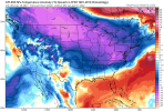
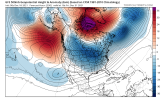
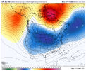
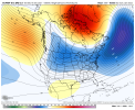
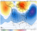
That was a great stretch of weather for the Carolina’sCFS looks similar to 2014, honestly to me it seems like we’re starting to see a change creep up on ensembles to this conus wide trough View attachment 98351View attachment 98352
tennessee storm
Member
Except the pacific wasn’t no where this bad shape as it is now . Afraid we got ways to go stillCFS looks similar to 2014, honestly to me it seems like we’re starting to see a change creep up on ensembles to this conus wide trough View attachment 98351View attachment 98352
NBAcentel
Member
That look is just like 2014 in the pacific with the CFS panel and that was great for the SEExcept the pacific wasn’t no where this bad shape as it is now . Afraid we got ways to go still
L
Logan Is An Idiot 02
Guest
06z GFS and GEFS are quite warm. This run to run inconsistency is frustrating
tennessee storm
Member
Different enso also. With moderate to strong Niña. . Start see some changes in pacific especially North Pacific. I get little excitedThat look is just like 2014 in the pacific with the CFS panel and that was great for the SE
When you mess with models. They tend to push back. You’ll see.????06z GFS and GEFS are quite warm. This run to run inconsistency is frustrating
Cary_Snow95
Member
Seems like a cold Christmas is slipping away. 0z and 6z GFS latching onto a torch for Christmas to New Years
NBAcentel
Member
Loosing the once strong confluence is definitely allowing the torchSeems like a cold Christmas is slipping away. 0z and 6z GFS latching onto a torch for Christmas to New Years
NBAcentel
Member
2013-2014 was cool neutral to a weak La Niña, it also had the same AK vortex but it somehow worked outDifferent enso also. With moderate to strong Niña. . Start see some changes in pacific especially North Pacific. I get little excited
Is he serious Clark?Hey if that starts showing up under 300 hours maybe it will happen
Low 80’s in for much of the south the day after Christmas. Unreal!!! View attachment 98320I have to hunt in shorts like it beginning of deer season again.
Get use to it. I'm writing a persuasive paper in school for this.
bigstick10
Member
In normal days this cold air in the upper Midwest would blast through the SE...LOL
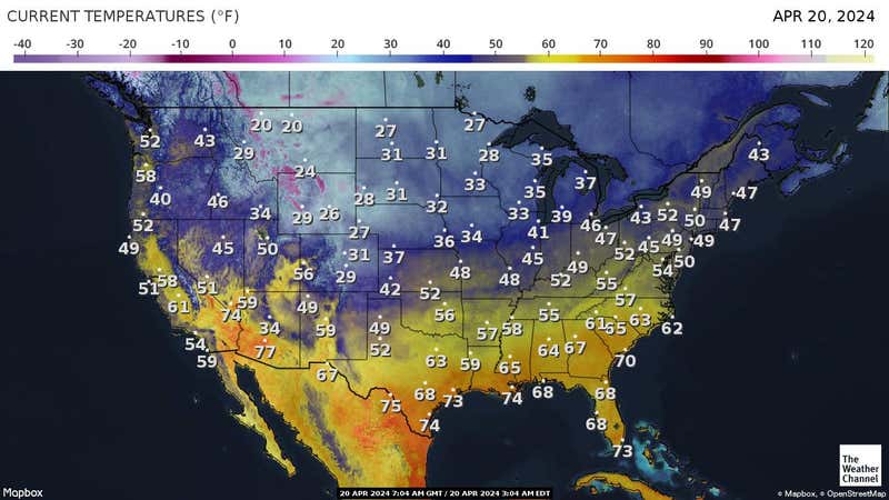

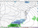
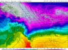
You have posted beautiful images correctly! Mark this day down. Well done sir!Happy New year from GFS! ?View attachment 98346View attachment 98347
This is how you can get a big snowstorm in the SE. Lots of things going right in this image.I'll take this
View attachment 98333
ATLwxfan
Member
It was a thick muggy May morning at my F3 bootcamp this morning…sheesh.
Sent from my iPhone using Tapatalk
Sent from my iPhone using Tapatalk

