Trending that way r2rNice pattern to pump out Miller Bs

Trending that way r2rNice pattern to pump out Miller Bs

 this
this 
Canadian tried to get there but the cold push was meh. Looks like it might be a decent to good rain setup in the D9-12 rangeMight need to watch favorable climo areas with this View attachment 97378View attachment 97379this View attachment 97377

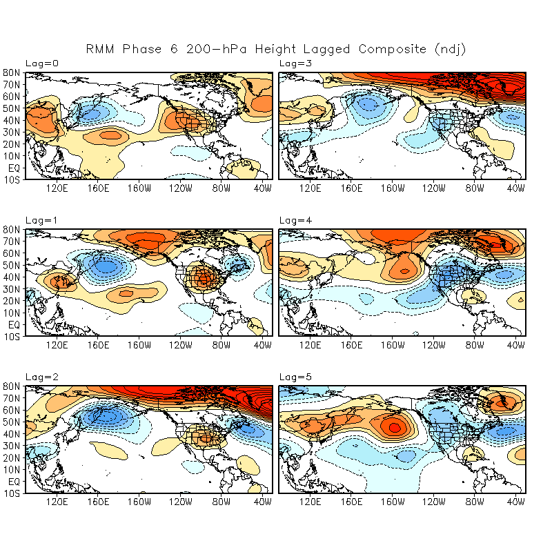
Okhotsk low digging, epo building and shifting east. I might need a private momentView attachment 97382

?Okhotsk low digging, epo building and shifting east. I might need a private momentView attachment 97382
Pattern is loaded! Can’t complain about this look up here!Okhotsk low digging, epo building and shifting east. I might need a private momentView attachment 97382


Really feel like we mute the SER with that block on top and get some ULLs/western trough handoffs with some added cold under it, and if not we are wedged in quite a bit-nao starting to go to work on the gefs with the pv stretching east through SE Canada View attachment 97383
-nao starting to go to work on the gefs with the pv stretching east through SE Canada View attachment 97383

Can't hate that tbh especially around I40 and into the wedge regionsWe've been generally following this to a T. Western trough may never fully go away, but that's honestly fine.
Even down towards CLT/the upstate, historically those areas do far better with Miller Bs then Miller As, which Miller As are heavily favored with +PNAs, while Miller Bs are favored with -PNAs and -NAO combosCan't hate that tbh especially around I40 and into the wedge regions
Miller B would favor an ice storm right?Even down towards CLT/the upstate, historically those areas do far better with Miller Bs then Miller As, which Miller As are heavily favored with +PNAs, while Miller Bs are favored with -PNAs and -NAOs
Typically means more mixed precip, but our areas do far better in Miller B setups snow wise as wellMiller B would favor an ice storm right?
A -pna/-nao infused with legit cold air could get really fun if you are on the right side of the likely gradient that sets upEven down towards CLT/the upstate, historically those areas do far better with Miller Bs then Miller As, which Miller As are heavily favored with +PNAs, while Miller Bs are favored with -PNAs and -NAOs
 -NAO printer go brrr
Euro going to try to winter storm by 240View attachment 97387-NAO printer go brrr View attachment 97386