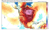
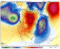
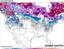
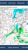
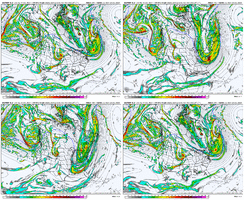
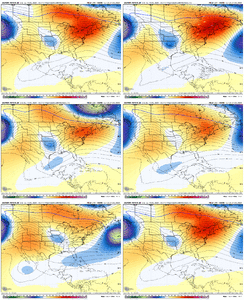
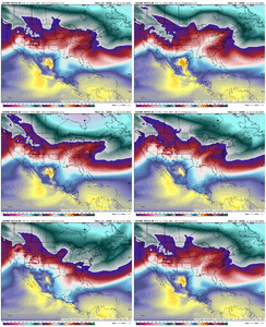
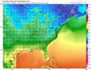
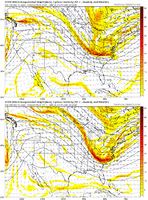
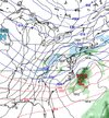
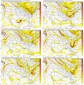
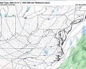
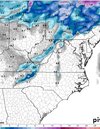
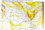
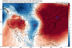
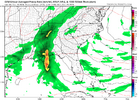
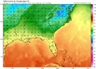
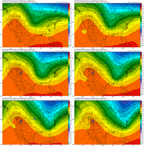
Normally we score at the tail end of a pattern not the front end so yeh, I definitely agree. Model guidance has teased at this for a couple days now.This is actually not a crazy scenario as the pattern wants to put another big high in the northeast <and> with waviness trying to run into it from the west in the fast Pac flow
-
Hello, please take a minute to check out our awesome content, contributed by the wonderful members of our community. We hope you'll add your own thoughts and opinions by making a free account!
You are using an out of date browser. It may not display this or other websites correctly.
You should upgrade or use an alternative browser.
You should upgrade or use an alternative browser.
Pattern December Dud 👀
- Thread starter SD
- Start date
I don't care. I'd rather be in 7-8-1-2 than in 4-6, where we've been forever in winters lately, where we know it's going to suck.This is probably a good thing tbh. If we went full fledged into 7-8, the pac jet would stay overextended since those phases favor a extended jet
Jessy89
Member

What’s the individual ensembles look like for Christmas Day?
Sent from my iPhone using Tapatalk
Jessy89
Member
Thank you
Sent from my iPhone using Tapatalk
Stormlover
Member
Drizzle Snizzle
Member
Dang. The forecast high of 57 in Huntsville on Christmas Day may be in jeopardy.Christmas beauty from the Euro ;-) View attachment 155998
NBAcentel
Member
EC has a high of 29 in CLT on the 23rd. Really cold stuff
Euro & EC is definitely frigid for the couple days leading to Christmas.EC has a high of 29 in CLT on the 23rd. Really cold stuff
NBAcentel
Member
I got atleast Ashe-tray colored on 13 Eps nembers. See where it goes from here next few cycles.
SimeonNC
Member
The fact that a fair amount of EPS members have snow off the NC coast is encouraging to me, idk why lol
Twister
Member
NBAcentel
Member
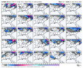
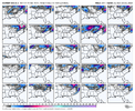
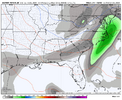
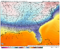
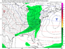
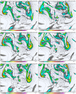
Ugh, yeah. There's a window forming here. But I'm tired of being bamboozled! We always trend right to the threshold but can never find the key to the gate.Exactly what I was mentioning. Like this trend right here. EC AI almost looks like the euro now. Slowing down the SE can vortex and shortening wavelengths View attachment 156012View attachment 156011View attachment 156014View attachment 156013
Mahomeless
Member
Nice to look at, but will never happen with that setup.Christmas beauty from the Euro ;-) View attachment 155998
Avalanche
Member
We must summons the gatekeeper!!Ugh, yeah. There's a window forming here. But I'm tired of being bamboozled! We always trend right to the threshold but can never find the key to the gate.
View attachment 156015
NBAcentel
Member
We really need to slow down the pattern. The AI is trying (as seen from the colder airmass sticking around longer). I just want to see that at this point. Winter is about threading needles down here, especially as patterns end, and this is no exception. This is the definition of threading the needle, trying to get a wave as the cold and associated troughing is departing, 9/10 it don’t work but it’s always worth taking a look atUgh, yeah. There's a window forming here. But I'm tired of being bamboozled! We always trend right to the threshold but can never find the key to the gate.
View attachment 156015
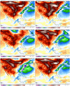
I’m hoping for a lot of 2am PBP this winter. Nothing like waking up at 7am to take a morning piss and read through 3-4 new pages of cataclysmic snow mapsall this makes me almost want to stay up for the 0z runs
This is definitely the wayI’m hoping for a lot of 2am PBP this winter. Nothing like waking up at 7am to take a morning piss and read through 3-4 new pages of cataclysmic snow maps
really isn’t man. It’s glorious.I’m hoping for a lot of 2am PBP this winter. Nothing like waking up at 7am to take a morning piss and read through 3-4 new pages of cataclysmic snow maps
Jessy89
Member
Gfs and euro miles apart. Which given how bad the Gfs has been. Might be a good thing.
Sent from my iPhone using Tapatalk
Sent from my iPhone using Tapatalk
Avalanche
Member
Well let’s see what tonight’s runs give us.
Twister
Member
Probably a headacheWell let’s see what tonight’s runs give us.
Well fwiw, the ICON digging a little more, decent step in right direction. Might be off to a good 0z start
NBAcentel
Member
Got the sh*ts and tonight’s model runs suck. On to pattern recognition again I guess

Wonder how we can ---- this up. Starting to see the western ridging return near end of ensembles now. Just not enthused for snow chances until we get a storm within 72-96 hours. Tough couple years…
Sent from my iPhone using Tapatalk
Won't be hard to screw up. The EPS is a full blown blast furnace on New Years Eve at the surface. Going to take awhile to seed NA with Arctic air again. Oh well down to a 2 week window as always
Wonder how we can ---- this up. Starting to see the western ridging return near end of ensembles now. Just not enthused for snow chances until we get a storm within 72-96 hours. Tough couple years…
Sent from my iPhone using Tapatalk
