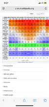
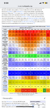
Oh crap,,,Looks like 60s/70 next week.
Just saw this on stupid KATL aft disco.
.LONG TERM...
(Wednesday morning through next Sunday)
Issued at 234 PM EST Mon Dec 2 2024
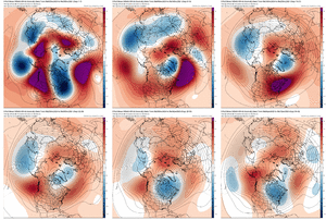
Persistent broad upr trough over the eastern half of the CONUS will
not shift much this week thanks to a series of low pressure systems
rotating south from central Canada. This pattern will continue to
support reinforcing shots of colder (below average) temperatures
through at least the first part of the weekend, before warmer
conditions potentially return by the end of the weekend and into
early next week.
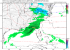
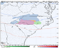
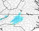
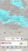
On the weather/precip potential side, a weak wave coming up from the
western Gulf/south Texas area will send some moisture and energy
toward the area by late Wednesday, bringing some very low POPs to
the area Wednesday night into Thursday morning. Low-level WAA and
increasing cloud-cover will keep temps above freezing (Wed ngt) so
any precip will be light and in the form of rain. It will be fairly
dry near the surface (Td in the teens/lwr 20s Wed aftn) so wouldn''t
be surprised to see a few sleet/ice pellets mix in at onset of any
light precip; but there should be no travel impacts across the area.
Beyond this, dry condtions will exist until the end of the weekend
into early next week as a cut-off upr low over the Desert SW begins
to eject east. There are some noteable disparities between the
models in the Days 5-7 periods (GFS is much faster bringing moisture
and precip east -- EC is the slowest and GEM appears to be the
middle ground). In any case, the blend just mentions "slight chance"
POPs Saturday and Sunday with an increasing chance heading into
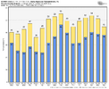
Monday (which seems reasonable at this time). S/W ridging ahead of
this late weekend/early next week system will result in temps
rebounding to potentially above normal levels for early December
(highs in the 60s and lower 70s area-wide by Sunday and Monday). 
