• Hello, please take a minute to check out our awesome content, contributed by the wonderful members of our community. We hope you'll add your own thoughts and opinions by making a free account!

Pattern December Dud 👀

https://forecast.weather.gov/produc...&format=CI&version=1&glossary=1&highlight=off

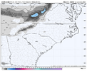
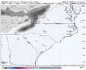
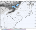
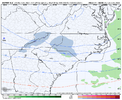
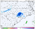
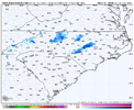
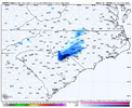
KRDU is now mentioning a chance for snow flurries and even the possibility of a brief dusting for the western and southwestern Piedmont on Monday night. It might not be the blizzard that many of us are hoping for but just to see some snowflakes would be a win for many of us longsuffering winter weather lovers. This discusssion also hints at the possibilty of some precipitation this weekend with cold air in place.
 
My question is how much will actually reach the ground I haven't had the opportunity to look at soundings.
 
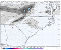
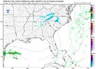
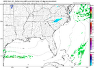
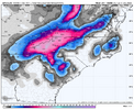
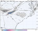
HRRR holding steady, it’s sick how excited I am.View attachment 155229
I think the area around Charlotte would be the bullseye for any potential for accumulation during Monday night's possible event. The NWS in Raleigh is suggesting that you might see a dusting. If this were to overperform, who knows, you might even end up with an inch of snow. Looking at your signature you will beat your snowfall totals for last winter if this happens.
 
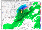
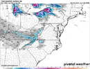
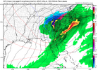
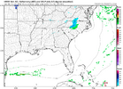
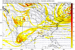
Next frame she really starts cranking off the coast. Helps pull the cold air down. Probably be some temp issues for most of NC but this is a week out lots of changes. Just nice to see a signal still.
View attachment 155213
I feel like there’s definitely some type of signal for this timeframe. By Wednesday/Thursday we should have a good idea if this is going to be something or nothing.
 
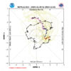
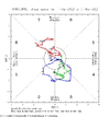
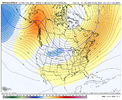
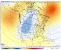
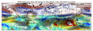
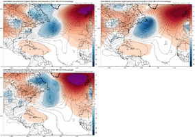
Pretty typical response to Maritime Continent & West Pacific convective heating here later in week 2 into 3 being shown on the EPS & GEFS forecast.

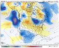
Pretty close to what I thought we were going to see after this week’s -EAMT: a compromise between the classic -PNA & the +TNH/+PNA pattern we are seeing in early December.

IMG_3847.png

IMG_3846.png
IMG_3845.jpeg


I don’t think this pattern will have much staying power though & likely is just a brief reload before things get even colder down the road.

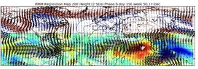
High background +AAM (for a La Niña) & continued slow eastward MJO propagation into the west pacific will favor a triumphant return of the +TNH/+PNA/-EPO type pattern as we get into early January.

I think this pattern we’re seeing in early December will come back even stronger in early January, w/ a little more active southern jet potentially to boot.

IMG_3803.png
 
Pretty typical response to Maritime Continent & West Pacific convective heating here later in week 2 into 3 being shown on the EPS & GEFS forecast.

Pretty close to what I thought we were going to see after this week’s -EAMT: a compromise between the classic -PNA & the +TNH/+PNA pattern we are seeing in early December.

View attachment 155230

View attachment 155231
View attachment 155232


I don’t think this pattern will have much staying power though & likely is just a brief reload before things get even colder down the road.

High background +AAM (for a La Niña) & continued slow eastward MJO propagation into the west pacific will favor a triumphant return of the +TNH/+PNA/-EPO type pattern as we get into early January.

I think this pattern we’re seeing in early December will come back even stronger in early January, w/ a little more active southern jet potentially to boot.

View attachment 155233
Webb, what's the chance of the mid-December milder period being brief enough to give us a chance of at least colder weather around Christmas time? Or is the back half of December pretty much toast as the ensembles show?
 
Webb, what's the chance of the mid-December milder period being brief enough to give us a chance of at least colder weather around Christmas time? Or is the back half of December pretty much toast as the ensembles show?
The Holidays seems a bit murky to me. I could see a scenario where this pattern sets in before early January. Regardless, I think it will be stormy & may have some opportunities at thunderstorms &/or severe weather as we transition back to a cooler pattern again.
 
The Holidays seems a bit murky to me. I could see a scenario where this pattern sets in before early January. Regardless, I think it will be stormy & may have some opportunities at thunderstorms &/or severe weather as we transition back to a cooler pattern again.
Thanks!
 
Wild run to run swings. Only thing we know is moisture is coming with dry cold air at the surface likely running away…the overlap is key folks. Chances are there for CAD esp north of 40 and west of 77.
 
This is in no way a knock on anyone here, because it's really hard to do. But I've noticed over the past few years that our model predictions are not very good. It almost always results in something like:

Oh man massive changes this run.

Dud

Oh well, on to the next one.
 
This is in no way a knock on anyone here, because it's really hard to do. But I've noticed over the past few years that our model predictions are not very good. It almost always results in something like:

Oh man massive changes this run.

Dud

Oh well, on to the next one.
10~7 days "storm signal" excellent Models runs~ rug Pull,

LUCY!!!


Oh wait! It's back,, then,,
I promise,,
*Just the Tip** (Ice Storm & CAD.. )
OR *Cold air ,, Suppression*
Too warm/To dry, BL Temps, Sun-angle.. The list goes on,, Jesus, can We at least get the Baja Low to kick?
 
Last edited:
Back
Top