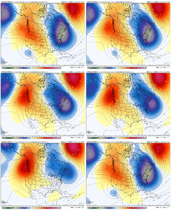
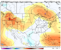
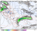
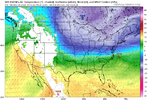
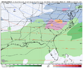
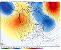
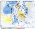
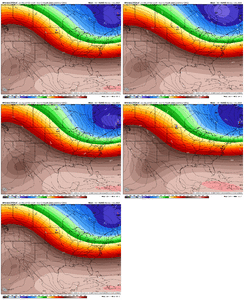
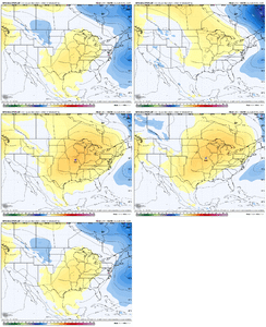
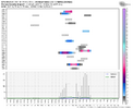
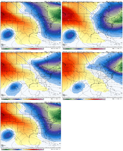
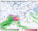
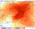
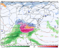
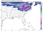
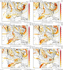
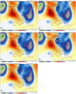
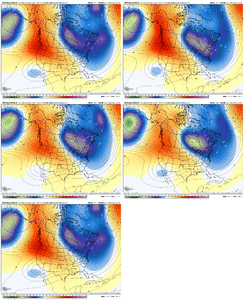
If the American model had its way, we’d still have a Baja wave from 2019 closed off and hanging out over there
-
Hello, please take a minute to check out our awesome content, contributed by the wonderful members of our community. We hope you'll add your own thoughts and opinions by making a free account!
You are using an out of date browser. It may not display this or other websites correctly.
You should upgrade or use an alternative browser.
You should upgrade or use an alternative browser.
Pattern December Dud 👀
- Thread starter SD
- Start date
A little confused since the most recent gfs run had a winter storm for the CAD regions?At this point, odds are probably nowhere will see much of anything. Central to southern VA probably would stand the best chance to see a few snow showers, maybe as far south at the NC/VA border, but odds for anything widespread seem pretty low.
I'm referring to the 12/2-12/3 shortwave. Something 264 hours out has basically zero odds of panning out as shown.A little confused since the most recent gfs run had a winter storm for the CAD regions?
Always good to see signs of some life a week out than noneI'm referring to the 12/2-12/3 shortwave. Something 264 hours out has basically zero odds of panning out as shown.
CNCsnwfan1210
Member

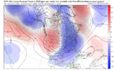
Cooler trend on the GEFS for the 6-13 day vs the 00z cycle
Sent from my iPhone using Tapatalk
NBAcentel
Member
Blue_Ridge_Escarpment
Member
That was really really close to a phase and some goodness for a lot.View attachment 155061
It’s officially winter when the 18Z starts throwing some teases
NBAcentel
Member
NBAcentel
Member
NBAcentel
Member
- Joined
- Jan 23, 2021
- Messages
- 4,602
- Reaction score
- 15,197
- Location
- Lebanon Township, Durham County NC
NBAcentel
Member
The phase doesn't look like it's going to happen this run, but it's certainly trending that wayBaja wave speeding up things gonna get interesting realll fast View attachment 155071
NBAcentel
Member
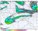
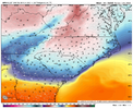
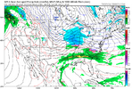
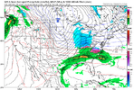
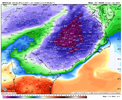
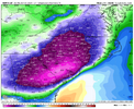
Man that CAD doesn’t look to stretch as far as it normally does.Pretty significant cold air damming event setting up on the GFS. Just after day 7 View attachment 155072View attachment 155073
lexxnchloe
Member
IcyPretty significant cold air damming event setting up on the GFS. Just after day 7 View attachment 155072View attachment 155073
CNCsnwfan1210
Member

Pow
Sent from my iPhone using Tapatalk
GoDuke
Member
best looking modeled CAD I’ve seen in years.Man that CAD doesn’t look to stretch as far as it normally does.
NBAcentel
Member
Baja wave speeding up further is definitely giving us closer solutions. We also managed to keep the areas around the lakes cleaner, which resulted in a damming high to our NE. And given the airmass associated with it, wouldn’t take nothing to crazy
The Baja ULL after just missing phasing with the northern branch gets left behind. It'll be interesting to see what the GFS cooks up with it in a few. Round two?Baja wave speeding up further is definitely giving us closer solutions. We also managed to keep the areas around the lakes cleaner, which resulted in a damming high to our NE. And given the airmass associated with it, wouldn’t take nothing to crazy
NBAcentel
Member
NBAcentel
Member
CNCsnwfan1210
Member
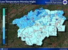
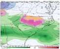
this would definitely get the job done View attachment 155079View attachment 155080
Major league cad event for sure
Sent from my iPhone using Tapatalk
LukeBarrette
im north of 90% of people on here so yeah
Meteorology Student
Member
2024 Supporter
2017-2023 Supporter
NBAcentel
Member
Is there any chance this can trend to Boston for snow and less wintery precip for NC? @Myfrotho704_
CNCsnwfan1210
Member
NBAcentel
Member
NBAcentel
Member
SnowwxAtl
Member
Classic ATL ice storm. Textbook!this would definitely get the job done View attachment 155079View attachment 155080
CNCsnwfan1210
Member
Yeah that TPV lobe south of Hudson Bay is legit, hopefully we can keep that trend going, UL Baja ejection is just as important too
Sent from my iPhone using Tapatalk

