-
Hello, please take a minute to check out our awesome content, contributed by the wonderful members of our community. We hope you'll add your own thoughts and opinions by making a free account!
You are using an out of date browser. It may not display this or other websites correctly.
You should upgrade or use an alternative browser.
You should upgrade or use an alternative browser.
Wintry December 23-26 2022 Winter Weather and Cold
- Thread starter SD
- Start date
tractor girl
Member
We'll be on the cutting edge of that rain/snow line, if it maintains through Tuesday.
tractor girl
Member
buckinbronco
Member
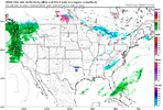
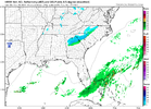
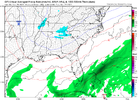
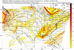
NAM joining the party
If we get enough precip to matter, snow will win out. Forecast soundings look solid to me for both of our areas. Coming in after sundown helps too.We'll be on the cutting edge of that rain/snow line, if it maintains through Tuesday.
Still running. But another Hi-Res model appears to be joining the party.


buckinbronco
Member
So, now that our little disturnbance has been fully sampled this afternoon, it would appear it has a little more kick than initially thought.


buckinbronco
Member
It’s also nice to see the euro has trended wetter for North GA. Granted it isn’t as impressive as the short range models.So, now that our little disturnbance has been fully sampled this afternoon, it would appear it has a little more kick than initially thought.

The funny thing is I hadn't even looked at the 18Z euro. You're right, and with solid snow soundings too. All will depend on just how fast/if we can saturate the column.It’s also nice to see the euro has trended wetter for North GA. Granted it isn’t as impressive as the short range models.
rburrel2
Member
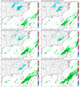
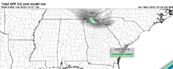
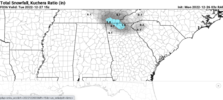
six to midnight! We're cooking with something tonight boys! Dustings are possible! Short range models keying in on North Ga through Upstate SC for a dusting to an inch or two. lmfg!
mydoortotheworld
Member
What is it with N GA and last second modeled snow? See Feb 2020
buckinbronco
Member
FFC...Sunday Evening Update...
.UPDATE...
Issued at 1029 PM EST Sun Dec 25 2022
We are continuing to monitor a mid-level shortwave that could
bring a brief period of light snow showers and flurries to North
Georgia Monday afternoon and evening. Models have become much
more moist and aggressive with this system over the last 24 hours,
and it could be just enough to squeeze out some wintry precip as
far south as the Atlanta metro. However, given forecast air
temperatures, road temperatures, and dryness near the ground, we
are not expecting any impacts or accumulations at this time. If
any accumulations outside a trace of snow do occur, it`s likely
they would remain confined to higher elevations above 1500ft in
elevation, where afternoon temperatures should generally remain in
the low 30s.
rburrel2
Member
cyclogent
Member
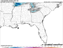
hi-res Canadian, NAM, RAP, HRRR, GFS all keying on southeast TN and northwest GA tomorrow. not the usual sweet spot for a clipper and it isn't much (1/4" to 1"), but let's do this.

