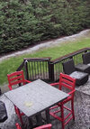
Mitchell -2.8 real temp
-
Hello, please take a minute to check out our awesome content, contributed by the wonderful members of our community. We hope you'll add your own thoughts and opinions by making a free account!
You are using an out of date browser. It may not display this or other websites correctly.
You should upgrade or use an alternative browser.
You should upgrade or use an alternative browser.
Wintry December 23-26 2022 Winter Weather and Cold
- Thread starter SD
- Start date
yeah not impressed so far.Front moved through about 40 mins ago. Temp is dropping like a degree every 5-10 mins. We just don’t know how to cold front in the Armpit of Hell
Guys in the CAE area; the actual cold rush is JUST getting here. Take a look outside at your winds now. The drop is incoming.
GoDuke
Member
Yep. Was at 46.9 5 minutes ago now at 44.6.Guys in the CAE area; the actual cold rush is JUST getting here. Take a look outside at your winds now. The drop is incoming.
Because it’s not there yet. Union Co SC is still at 42, it will get thereTemp hasn’t even dropped a degree in like 15 mins.
- Joined
- Jan 2, 2017
- Messages
- 1,566
- Reaction score
- 4,279
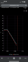
41 at 4:45am
23 at 6:45am
Color me impressed!
17 degrees 20 minutes to my nw in Long Creek SC..she still pushing
23 at 6:45am
Color me impressed!
17 degrees 20 minutes to my nw in Long Creek SC..she still pushing
Webberweather53
Meteorologist
- Joined
- Jan 2, 2017
- Messages
- 1,566
- Reaction score
- 4,279
Pray for those linemen today...lots of folks without power already. Hopefully everybody stays warm!
- Joined
- Jan 2, 2017
- Messages
- 1,566
- Reaction score
- 4,279
Webberweather53
Meteorologist
Single digit wind chills in Clemson
Webberweather53
Meteorologist
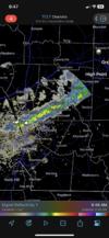
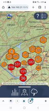
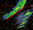
Anyone here in the Piedmont seeing anything from that band of precip extending from Charlotte to about Roxboro? Seeing quite a few mPiNG reports and video confirmation of graupel
packfan98
Moderator
Pouring sleet/graupel here. Went from 48 to 44 in about 30 seconds. All roads are wet. 30+ mph wind gusts since 3:00 am. Trees and limbs are down. My guess is a flash freeze coming soon.
Nothing in south clt. Clear skies. Looks like north Meck is the southern extent of the band of precip.Anyone here in the Piedmont seeing anything from that band of precip extending from Charlotte to about Roxboro? Seeing quite a few mPiNG reports and video confirmation of graupel
Not yetAnyone here in the Piedmont seeing anything from that band of precip extending from Charlotte to about Roxboro? Seeing quite a few mPiNG reports and video confirmation of graupel
NCHighCountryWX
Member
- Joined
- Dec 28, 2016
- Messages
- 699
- Reaction score
- 1,918
GoDuke
Member
Rain mixed with sleet. windy. No grauple that I saw. It’s recyclables day in my neighborhood so also blowing trash?Anyone here in the Piedmont seeing anything from that band of precip extending from Charlotte to about Roxboro? Seeing quite a few mPiNG reports and video confirmation of graupel
Boone's getting their white Christmas:

 www.resortcams.com

King Street Boone NC Webcam - Resort Cams
Located in the heart of downtown Boone, NC, the King Street cam gives a live, streaming view of current happenings and events taking place in the most popular town in the High Country.
Drop is picking up now here in Lexington.
Have went from 52.5 at 5:54 am to 42.4 as of 7:11 am. 5 of that coming in the last 30 mins or so.
Have went from 52.5 at 5:54 am to 42.4 as of 7:11 am. 5 of that coming in the last 30 mins or so.
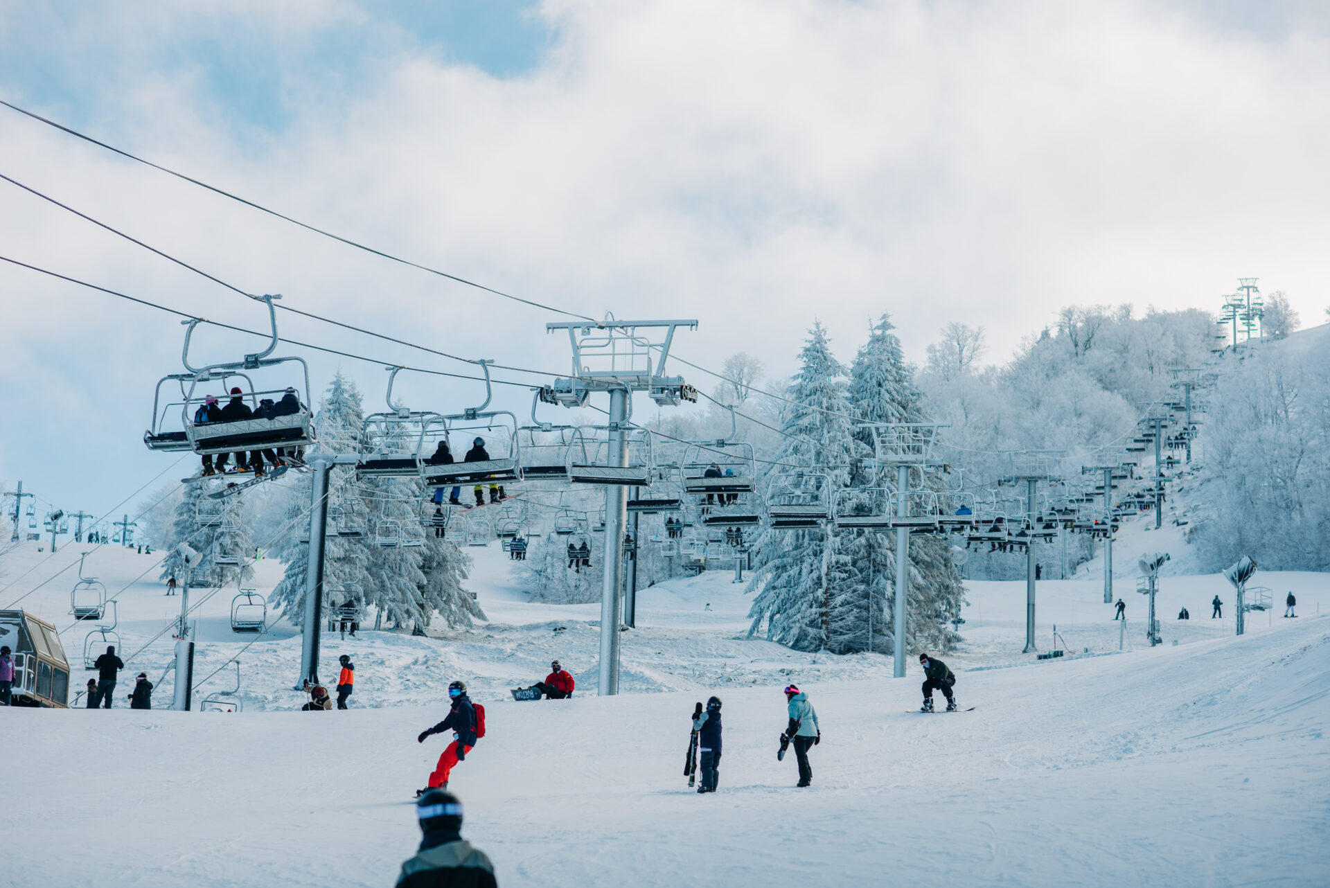
Ha ha Beech Mountain:
 www.beechmountainresort.com

Web Cameras | Beech Mountain Resort
Check our web cameras at Beech Mountain Resort! Get live views of the slopes, weather conditions, and scenic landscapes to plan your visit.
Had some brief graupel in Rowan county.Not yet
Tarheelwx
Member
Deck got a decent covering here in Colfax by around 6:30.
TW
TW
Now 32/10 here. Wind chills in the teens
Woke up to Thunder and Lightening 2 mornings in a row. Today had ice hitting window
bigstick10
Member
2am it was 52, currently 12.3 power out as well,,,
NBAcentel
Member
Light snow/graupel
Starting to get sleet in Hillsborough
Rosie
Member
8 here????
Downeastnc
Member
RDU latest ob
| 23 | 06:51 | SW 26 G 54 | 10.00 | Light Rain and Windy | FEW009 BKN015 OVC060 | 50 | 45 | 50 | 44 | 83% | 43 | NA | 29.45 | 997.1 |
Currently 13 here, honestly was expecting a little colder based off of some those extreme model runs.
Warmed to 50 here this morning gonna make that front all the more impressive
You can hear the wind roaring overhead even when you don't feel it at the ground. Pretty awesome. Reminds me of a tropical system.
Holding steady at 50.2
Holding steady at 50.2
16 here. I saw a few flurries about 45 mins ago, but that’s about it. Wind chill is 3 right now. We also lost power at some point overnight, but when I woke up about an hour and a half ago it was back on.
Over 57k without power in NC already

