Webberweather53
Meteorologist
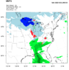
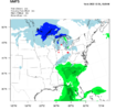
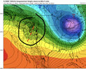
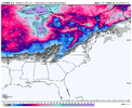
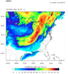
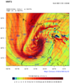
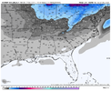
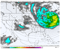
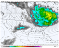
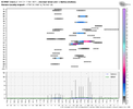
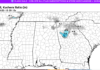
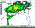
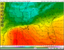
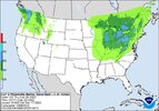
This is a pretty realistic depiction of how I'd expect this storm's snow footprint to go down. Outside of the mountains & foothills, I wouldn't expect anything more than some backside token flakes or maybe a light coating at the very most. If you want a good storm, you'll have to at least go to the Apps or into the interior NE US.
It's the kind of storm we need (& I figured several days ago that we'd see) to set the table for the potential window just after Christmas.
To get a good winter storm for the board, we usually need a good snow pack down to at least the I-70 corridor & we'll have that after Dec 23.
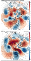
Hopefully, we make the most of our opportunity just after Christmas, because odds are the continent will be flooded w/ mild, Pacific air thereafter as we approach the New Year (although I think the EPS is overkill here), so cold air availability will become more of an issue in general as we approach the start of 2023. That doesn't mean we can't get winter storms, but we'll likely encounter even more marginal setups, because w/ the big Aleutian trough, more modest/stale continental polar air masses will be the only thing available to us to make something happen.

It's the kind of storm we need (& I figured several days ago that we'd see) to set the table for the potential window just after Christmas.
To get a good winter storm for the board, we usually need a good snow pack down to at least the I-70 corridor & we'll have that after Dec 23.

Hopefully, we make the most of our opportunity just after Christmas, because odds are the continent will be flooded w/ mild, Pacific air thereafter as we approach the New Year (although I think the EPS is overkill here), so cold air availability will become more of an issue in general as we approach the start of 2023. That doesn't mean we can't get winter storms, but we'll likely encounter even more marginal setups, because w/ the big Aleutian trough, more modest/stale continental polar air masses will be the only thing available to us to make something happen.
