-
Hello, please take a minute to check out our awesome content, contributed by the wonderful members of our community. We hope you'll add your own thoughts and opinions by making a free account!
You are using an out of date browser. It may not display this or other websites correctly.
You should upgrade or use an alternative browser.
You should upgrade or use an alternative browser.
Tropical 2024 Tropical Thread Reboot
- Thread starter SD
- Start date
lexxnchloe
Member
lexxnchloe
Member
SASQUATCH
2-Time Defending SouthernWX Fantasy Football Champ
Member
2024 Supporter
2017-2023 Supporter
Brent
Member
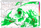
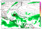
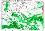
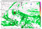
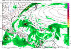
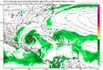
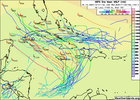
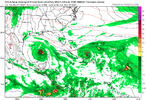
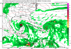
Funny...12Z Goofus wants to do this:
View attachment 153665
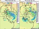
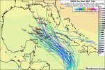
The GEFS doesn't agree. I wants to just have spokes breaking off and crossing Cuba headed NNE to ENE. Such a long dart throw for the operational side.
Never been a Texas hit in November
lexxnchloe
Member
lexxnchloe
Member
Henry2326
Member
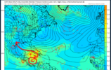
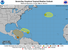
Changed the circle.....looks like a gulf thang....50%
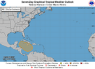
200 AM EDT Thu Oct 31 2024
For the North Atlantic...Caribbean Sea and the Gulf of Mexico:
1. Southwestern Caribbean Sea:
A broad area of low pressure is likely to develop over the
southwestern Caribbean Sea by the end of the week. Gradual
development is possible thereafter, and a tropical depression could
form over the weekend or early next week while the system drifts
generally northward or northwestward over the central or western
Caribbean Sea.
* Formation chance through 48 hours...low...near 0 percent.
* Formation chance through 7 days...medium...50 percent.
Downeastnc
Member
Big ole eye Tiawan got smashed...Oscar's entire windfield would have fit in KongRey's eye.
lexxnchloe
Member
Brent
Member
It's hard to believe this thread is going to be the most active one to start November
Brent
Member
Henry2326
Member
Looks like NHC is buying into the direction of the ensemble.
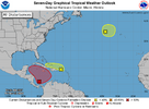
Tropical Weather Outlook
NWS National Hurricane Center Miami FL
800 AM EDT Fri Nov 1 2024
For the North Atlantic...Caribbean Sea and the Gulf of Mexico:
1. Southwestern Caribbean Sea:
A broad area of low pressure is likely to develop over the
southwestern Caribbean Sea during the next day or so. Gradual
development is possible thereafter, and a tropical depression is
likely to form late this weekend or early next week while the system
drifts generally northward or northwestward over the central or
western Caribbean Sea. Regardless of development, locally heavy
rains are possible over portions of the adjacent land areas of the
western Caribbean.
* Formation chance through 48 hours...low...30 percent.
* Formation chance through 7 days...high...70 percent.
2. Northeastern Caribbean Sea and Greater Antilles:
A trough of low pressure located near Puerto Rico is producing a
large area of showers and thunderstorms over portions of the Greater
Antilles and the adjacent waters of the Atlantic and the
northeastern Caribbean. Slow development of this system is possible
during the next few days as it moves west-northwestward near the
Greater Antilles. After that time, this system is expected to be
absorbed into the low pressure area over the Caribbean. Regardless
of development, locally heavy rains are possible during the next
several days from the northern Leeward Islands westward across
Puerto Rico and Hispaniola to eastern Cuba and the southeastern
Bahamas.
* Formation chance through 48 hours...low...10 percent.
* Formation chance through 7 days...low...10 percent.
3. North Atlantic:
A storm-force non-tropical low pressure area located about 400 miles
west of the western Azores is producing limited shower activity.
Some subtropical development is possible while the low moves
generally eastward during the next few days. Additional information
on this system is available in High Seas Forecasts issued by the
National Weather Service.
* Formation chance through 48 hours...low...10 percent.
* Formation chance through 7 days...low...10 percent.
Henry2326
Member
lexxnchloe
Member
weather bubba
Member
The storm numbers that the National Hurricane Center predicted before hurricane season started may come closer to verifying than thought a couple of months ago when we had that lull during what is usually peak hurricane season. With the abnormally warm weather the Southeast is seeing, I would not be surprised to see a tropical storm or hurricane during December this yearIt's hard to believe this thread is going to be the most active one to start November
Brent
Member
lexxnchloe
Member

