-
Hello, please take a minute to check out our awesome content, contributed by the wonderful members of our community. We hope you'll add your own thoughts and opinions by making a free account!
You are using an out of date browser. It may not display this or other websites correctly.
You should upgrade or use an alternative browser.
You should upgrade or use an alternative browser.
Wintry 1/9-12 Winter Potential Great Dane or Yorkie
- Thread starter SD
- Start date
Jessy89
Member
Gfs is the fastest with the start of the precip to. Of all the models.
Sent from my iPhone using Tapatalk
Sent from my iPhone using Tapatalk
Makeitsnow
Member
One thing to note is like the euro it has a warm bias at the surface on evaporational cooling situations. It also breaks down cad too fast.The UKMET is a good all around model. Like all the others, sometimes it wins and loses, but overall we prefer it to be in our camp versus many others, IE. Canadian.
It used to be, the UKMET would be a precursor to the ECMWF run since they both come from across the pond with similar data assimilation.
iGRXY
Member
So we need it to go toward neutral ish tilt enough to actually get decent QPF and track the low further south/offshore to try and fight back on the WAA.
ChattaVOL
Member
Do we really think it gets warm enough for the back side to be rain in the Tennessee valley?
Sounds very easy. We got this.So we need it to go toward neutral ish tilt enough to actually get decent QPF and track the low further south/offshore to try and fight back on the WAA.
iGRXY
Member
John1122
Member
I believe that's basically drizzle due to a lack of moisture in the DGZ.Do we really think it gets warm enough for the back side to be rain in the Tennessee valley?
albertwilsonjr
Member
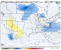
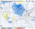
View attachment 160353These changes at day 3 lololol
Can you interpret if this is good or bad for snow in sc
Sent from my iPhone using Tapatalk
NWMSGuy
Member
Anyone know what this winter system will be named?
Jessy89
Member
Can you interpret if this is good or bad for snow in sc
Sent from my iPhone using Tapatalk
I’d still be weary south of 85. But the trend for at least front end snow good N of 85.
Sent from my iPhone using Tapatalk
CNCsnwfan1210
Member
View attachment 160353These changes at day 3 lololol
N/S ahead of S/S…
Sent from my iPhone using Tapatalk
It will be interesting to see if the Euro agrees with the UKMET during its next run coming up shortly if I am not mistaken. The GFS and it's strung out mess of a system tracking through South Carolina would make the snow lovers in the Deep South happy and snow lovers along the Atlantic in the Southeast miserable. We'll see if the Euro aligns with the UKMET presenting two different trains of thought about this weekends winter potential.
iGRXY
Member
Euro is going to be flat and hold true
ChattaVOL
Member
Well it’s snowing in Chattanooga right now.. it’s a miracle that could bode well for this storm.
Sent from my iPhone using Tapatalk
Sent from my iPhone using Tapatalk
ColdCoreLow
Member
Superstorm YorkieAnyone know what this winter system will be named?
NBAcentel
Member
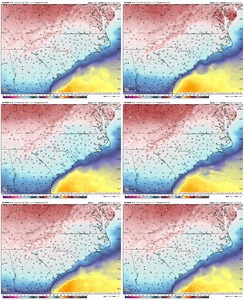
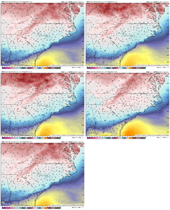
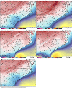
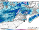
Euro looks better for areas west, but areas east still lacks QPF, but better than the last 2 runs for sure. Sfc temps are colder this run
NBAcentel
Member
How about the track. Miller A or B?Euro looks better for areas west, but areas east still lacks QPF, but better than the last 2 runs for sure. Sfc temps are colder this run
Edit: Miller A
Yorkie but I hear dachshund is also in the runningAnyone know what this winter system will be named?
idk about y'all but for central nc i take this 8 days of the week over the gfs. i assume it tilted just a bit more neutrally?The more juiced up 12z run View attachment 160356
By the looks of what Fro just posted I guess you could call it a hybrid? The way I look at it it’s close to a Miller A track with a B style transferHow about the track. Miller A or B?
Edit: Miller A
Youve been telling us for days what we needed to maximize opportunity/ base of the ns into Okie etc. Love to see this ukie run verify. Im busy at work an cant keep up today. But that track the GFS12z has is awful coming up through GA and SC coastal plain. Hoping the 12z Euro op track I just saw, preferably the 12z Ukie is where we head and end up.The UKMet does what you want to see in order to get more snow south. It sends the base of the northern stream wave into Oklahoma and flattens the eastern ridging over time, and it sends the remnants of the baja wave to the Tacoria bar in Acapulco. It's the antithesis of the GFS
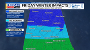
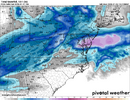
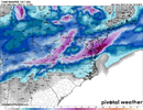
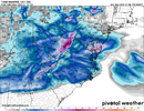
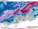
This ECMF run looks like mostly winter precipitation for folks in the northern half of North Carolina. It is not as gloomy as the GFS model showed but we still need colder air during this storm for the southern and eastern sections to get in on the action.
ITUSETOSNOW
Member
D i c k.Anyone know what this winter system will be named?
Stormlover
Member
The last thing we want is the track the 12z GFS op took. Angle an all from south GA into an through SC.idk about y'all but for central nc i take this 8 days of the week over the gfs. i assume it tilted just a bit more neutrally?
CNCsnwfan1210
Member
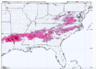
Anyone have the snow map for the 12z Euro?
Sent from my iPhone using Tapatalk
Sent from my iPhone using Tapatalk
Avalanche
Member
take this down before Psalms sees itD i c k.
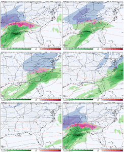
All of that guidance is warmer for N AL.Euro was more juiced and colder.
All model guidance went colder and the Euro has trended towards more moisture.
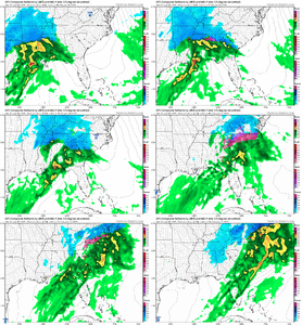
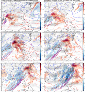
View attachment 160358View attachment 160359View attachment 160360
We're about to name the third one below--Cora or maybe "Crapora"Anyone know what this winter system will be named?
- Anya.
- Blair.
- Cora.
- Demi.
- Enzo.
- Freya.
- Garnett.
- Harlow.


