• Hello, please take a minute to check out our awesome content, contributed by the wonderful members of our community. We hope you'll add your own thoughts and opinions by making a free account!

Wintry 1/7/17-1/10/17 Winter Storm

Yeah still long ways off,  every model run wil changel with placement of the LP. Heck even if it takes a little NW trend we still would get something on the backside, thats better then what we have now, nothing.
 
Through 216, im not sure many will like the GEFS members.

Edit: you guys beat me to it.
 
Is that the first time the gefs has shown an ugly run on this system?
 
The CFSV2 ensemble I will save us...LOL!
bc942577e7c5cdc5a4640e628aaef54c.jpg


Sent from my iPhone using Tapatalk
 
12z gefs shows 100 percent why we DON'T want a wrapped up consolidated low.

We need to get back to the overrunning look

Sent from my SM-G900V using Tapatalk
 
Storm5 link said:
12z gefs is UGLY

Sent from my SM-G900V using Tapatalk

Yep not the best trend but while totals are way down I still count 13 that show some sn for NC and TN still looking ok but still compared it's ugly.

Btw I've had some snow showers today kind of unexpected
 
metwannabe link said:
[quote author=Storm5 link=topic=80.msg4908#msg4908 date=1483118380]
12z gefs is UGLY

Sent from my SM-G900V using Tapatalk

Yep not the best trend but while totals are way down I still count 13 that show some sn for NC and TN still looking ok but still compared it's ugly.

Btw I've had some snow showers today kind of unexpected
[/quote]
yes I agree . but there was a clear north shift on the gefs with the members which is a concern . still 7-8 days out

Sent from my SM-G900V using Tapatalk
 
Love to see everyone reaction if the 18z puts out good again
 
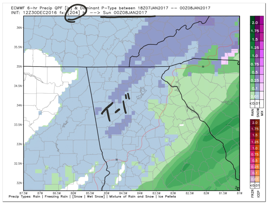
Definitely a significant shift northward on the GEFS, and Im not surprised at all. I'd like to see more snow to our north to get a big overrunning event... The I-64 corridor and OH valley is sitting in the sweet spot atm.
 
Storm5 link said:
12z gefs shows 100 percent why we DON'T want a wrapped up consolidated low.

We need to get back to the overrunning look

Sent from my SM-G900V using Tapatalk
True that storm, some the CFSV2 members look good

Sent from my SM-J700T1 using Tapatalk
 
NorthGAWinterWx link said:
[quote author=Storm5 link=topic=80.msg4914#msg4914 date=1483118919]
12z gefs shows 100 percent why we DON'T want a wrapped up consolidated low.

We need to get back to the overrunning look

Sent from my SM-G900V using Tapatalk
True that storm, some the CFSV2 members look good

Sent from my SM-J700T1 using Tapatalk
[/quote]
I wouldn't hold to close to the CFSV2...


Sent from my iPhone using Tapatalk
 
metwannabe link said:
[quote author=Storm5 link=topic=80.msg4908#msg4908 date=1483118380]
12z gefs is UGLY

Sent from my SM-G900V using Tapatalk

Yep not the best trend but while totals are way down I still count 13 that show some sn for NC and TN still looking ok but still compared it's ugly.

Btw I've had some snow showers today kind of unexpected[/quote]

I was about to say the other day we might get some flurries with all the cold air aloft.
 
It just gets me how when one model run is bad then the rest will follow, lol. Hopefully we start showing seeing some better runs. I would like to see this storm to slow down allowing the cold air to settle. I would also like to see an increase in moisture little more.
 
The ukmet and canadian ens still look good for NC. Also euro ens looked pretty good last night as well. Just gonna have to hang tight through the weekend and hope that ns energy pinwheels on around the PV and not phase out in the sw like the gfs showed. Still say for my area it's 50/50 like it's always been. We should have a pretry good idea by Sunday night into Monday how things are gonna play out
 
A good reason to not start a thread, for a 7 day+ winter event, especially, when is been trending worse, when models have been trending worse!
 
Back
Top