• Hello, please take a minute to check out our awesome content, contributed by the wonderful members of our community. We hope you'll add your own thoughts and opinions by making a free account!

Wintry 01/28-29/2022 Winter Weather Potential

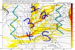
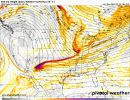
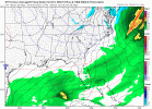
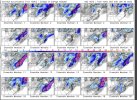
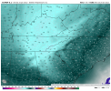
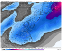
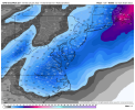
CMC Ensemble Mean

6eDA1HQ.gif
 
I hate to seem overzealous, but I really think this storm has the synoptic potential of our January 2000 storm.

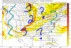
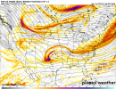
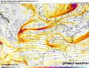
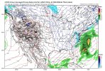
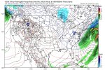
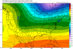
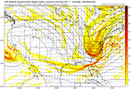
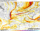
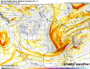
That storm involved a wave diving out of Canada into Idaho/Montana along a trough base that progressively moves east across Canada That allows for it to amplify as it moves over the Rockies, then eventually cuts off as the WAR further pinches the energy off. At the moment, most models don't dig or amplify the wave as much (The GFS/GEFS is closest).

Fortunately, models usually underestimate the amount of amplification and strength of the WAR which would benefit us downstream. The question is, to what extent are models underestimating it? Is the GFS onto something like the last two storms, or the stint up? Hopefully, the trends continue, but it's still looking like the momentum is favoring a northeast storm.
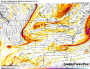
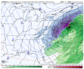
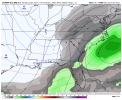
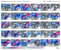
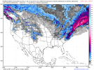
gfs_z500_vort_us_fh54-132.gif
 
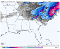
Is it just me, or is the system trending back to the original red letter day it was locking on to, that started all this buzz a few days ago? Seems like it a tad to me. Started out with Alabama to North Carolina into play with decent snow, and then it went to just the Carolinas and now it's trended back more west.
Would be nice but I think we are gonna have to hope we get a little more moisture behind the front.
 
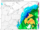
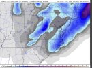
If you want to shoot for the moon with snow totals in nc/SC you want as much energy as you can get at the base of the trough and have to hope you don't jerk it too far west. As it stands though the gfs and cmc are full lat troughs with rain changing to snow from west to east as the column collapses when the low winds up off of the obx
 
Anyway GA gets anything from this or more likely a Carolina storm?
Definitely a GA storm Miller A's usually do well throughout the SE. The question really comes down how much the energy digs to the SW US and then is it able to move eastward and turn Neg. Tilt the sooner it does that the better for generating precipitation thru the SE with with cold to match.

Ideal Miller A skirts the Gulf Coast shoreline along MS/AL/Crosses over Florida toward Jacksonville and then wraps up NE toward GA Coastline
 
Some of y’all who were out here at the time can correct me if I’m wrong:

Wasn’t most of 1/25/2000 occurring during marginal temps?

I was in NW Raleigh and it started out as sleet for about an hour and then temps dropped to the upper 20s with like 4" per hr snowfall rates. The changeover was very fast.


Sent from my iPhone using Tapatalk
 
CAE (quite far South) literally goes from 40 to 33 and heavy snow (falling through the air, will be hard to accumulate after so much rain). I think the cooling is the least of a concern right now due to dynamics.
I got 8” in that exact scenario 3-1-09, pavement and grass
 
I agree with that…. especially with the GFS which doesn’t do a good job with dynamic cooling at the surface. I remember a series of GFS runs a few years… I think before the January 2018 anafront storm, where the GFS was giving CLT like 10-12 hours of snow but never dropping the temperature below 34… it was very wrong obviously as temperatures fell easily to around 30 as the snow continued.
The gfs is much improved since then though. Not sure how it’s done elsewhere but it has been much better this winter for our area at least.
 
The gfs is much improved since then though. Not sure how it’s done elsewhere but it has been much better this winter for our area at least.
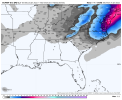
It is much improved overall, but it’s still doesn’t have great resolution and is still known to not pick up well on dynamic cooling at the surface. I think the key here is that if there is snow falling at good rates, these maps showing temperatures 35-37 will most likely end up being more in the 31-33 range
 
Back
Top