LovingGulfLows
Member
- Joined
- Jan 5, 2017
- Messages
- 1,499
- Reaction score
- 4,100
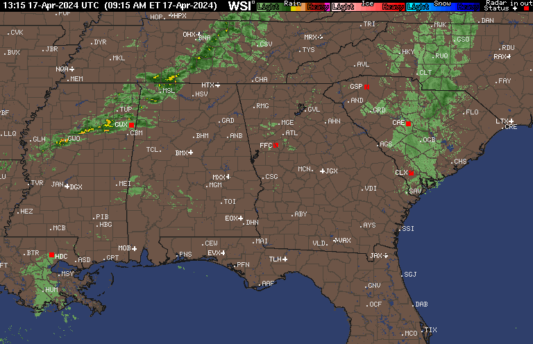
WSB in house radar says nada. Of course it may be bunk. Hard to believe with how quick it’s moving for there to be changeover unless we see substantive redevelopment over the west and some reports that we actually have some pingers.
Sent from my iPhone using Tapatalk
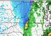
Newest HRRR shows more redevelopment of the band in about 3 or 4 hours. Even has some mod-heavy snow in the northern portions of the metro and a mix farther south around 5. We'll see though. Still somewhat skeptical.