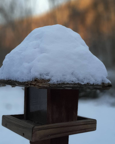
• Hello, please take a minute to check out our awesome content, contributed by the wonderful members of our community. We hope you'll add your own thoughts and opinions by making a free account!

Wintry ❄The Christmas Miracle❄(12-24/12-25)

Looks to be really brief. This front is racing through.


Sent from my iPhone using Tapatalk

It will be interesting to see that Trend today and if models and real-time monitoring of Meso show that potential even if brief the totals will be solid for that short window not including any potential snow showers bands after main front
 
Hot and humid here today. Already 78F with a dew of 70F. As for 0F snow I’ve seen it countless times. The flakes are tiny and it’s so light and fluffy you don’t shovel it, you sweep it.
 
View attachment 59848
HRRR 2m RH is sitting in the 50-60% range area wide, that’s honestly not that bad. Just for some perspective and food for thought, your average summer day that produces popcorn thunderstorms in the afternoon with temps in upper 80s-low 90s with dew points in the low-mid 60s in the Carolinas comes out to a low level Relative humidity close to 50% which is comparable if not lower than the background low level RH this event will have. Given that any snow we see tomorrow will be convective and characterized by steep low level lapse rates with near absolute instability in the low-mid levels, I think this is a somewhat valid comparison although the additional water vapor in the summer does make parcels more buoyant. Starting out with RH values equal to or greater than 50-60% are good enough to get the job done for many here imo.

So by get the job done I’m still confused with what we’re taking about here. Flurries or are you saying epic convective snow bursts with decent to heavy rates? Sounds like you’re kinda bullish here. If you were to forecast the event, what’s the most likely outcome?
 
Back
Top