• Hello, please take a minute to check out our awesome content, contributed by the wonderful members of our community. We hope you'll add your own thoughts and opinions by making a free account!

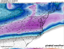
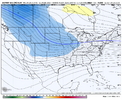
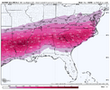
Wintry January 23rd-27th 2026

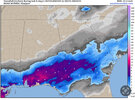
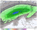
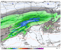
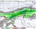
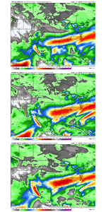
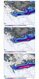
Good lord: the model variability for NC is wild.

ICON: ICE ICE BABY
GFS: Full on Blizzard
CMC: ICE and More Ice have some rain to.
AI GFS: Snow Snow and more snow
ECMWF: Warmer and way less snow than the 6z
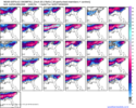
ECMWF Ensembles: All of it
EC AI: Snow, Ice
UKMET: Dont get me started.

While it is still 3-4 days out, the amount of cold, amount of baja interacting, and amping is a headache for specific precip types. Like throwing a dart.....dont forget the Ensembles are means....some show very little snow and some show shoveling for days. I do not envy forecasters in the south.
And if include the general track record of how most winters storms in the south go, this thing will be a cold rain by go time.
 
Thoughts from you [mention]Rain Cold [/mention] , plus the Mets here [mention]bouncycorn [/mention] [mention]Webberweather53 [/mention] [mention]jackendrickwx [/mention] and others here….

Often, we say the CAD is underestimated by these models… does that mean cold air at the surface usually trends COLDER than modeled with time? ie… when we get into CAM range?


Sent from my iPhone using Tapatalk

I do remember the Feb 2014 storm did this. Columbia was looking like the worst ice storm in decades…. Turns out, 48 hours to go and the thing trended south enough that Augusta/Aiken hit the bullseye of the ice… this setup looks exactly the same to me… and that is why I’m inquiring


Sent from my iPhone using Tapatalk
 
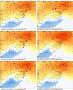
Biggest change on EPS is lowered heights out west and thus the response of slightly warmer column out east
1768934285622.png


Quite the ZR clown map as well:
1768934329705.png


MSLP anomaly trend tells the story: 🧊
ecmwf-ensemble-avg-east-mslp_anom-1768910400-1769331600-1769331600-10.gif


CAD mess has been the primary thought for the Carolinas since Sunday evening. Seems like that is the move still
 
I can't wait to see your first call map that captures this line of thinking, especially for the Upstate just south of 85. That is only hope of seeing snow, I guess. I have told many to prepare for a damaging ice storm. Praying for sleet to keep the power.

I can’t either. I’m probably going to be explicitly forecasting a potentially historic winter storm for a lot of folks.
Whether that’s in the form of sleet, ZR, or snow is tbd
 
The models usually struggle with the magnitude of the cold air at the surface until pretty close to the event. They don't have it right yet.
In the old days, we would wait for the ETA (NAM) to get into range on CAD events because it used to be so good at sniffing out the extent of the wedge. Perhaps that's still the case. My recollection is that the NAM typically shows a stronger CAD than is depicted by the global models, although there have certainly been exceptions.
 
In the old days, we would wait for the ETA (NAM) to get into range on CAD events because it used to be so good at sniffing out the extent of the wedge. Perhaps that's still the case. My recollection is that the NAM typically shows a stronger CAD than is depicted by the global models, although there have certainly been exceptions.
What hires model does best at accurately depicting CAD in the SE?
 
May be a dumb question but is each model run just several model runs “averaged” together? I get snow on 50% of these but it’s not translating to what I’m seeing on the runs.

When we talk about "ensemble means" that's an average of individual "ensemble members". That's why you get snow on some and not others.

Then there are the "operational" model runs which are just 1.
 
It seems like at this juncture, the single biggest question mark across the board is what's going to happen with that Baja Low. Some things that appear to be pretty locked in are the Midwest High is insane...the pineapple express is flowing over it with or without the Baja. The Wedge is locked in to the east.

So, is the Baja gonna get scooped up and phase early, scooped up and still phase but a bit later or get left behind/strung out.

All of them involve a very, very impactful Winter Storm for the entirety of the South, but still three very different outcomes with regards to Ice vs Sleet vs Snow downstream, especially across chunks of central and north miss, bama, GA, SC and Southern NC.

Who wins?
 
If you've had posts disappear, it's because they don't belong in this thread. Treat this as your warning. If you want to report banter, use the report button. Just know that we are deleting the posts as we see them. Many times they will disappear before we see the reports. If we have to delete multiple posts, you get banned from posting in this thread and get to hang out in the banter thread with the cool people.
 
At this point this is all snow above hwy 64 in NC. and its ripping.

View attachment 186400

we all flip to ice after this point on the euro in nc ( sleet) and pick up another .6 qpf as sleet with temp upper teens here.

Total qpf for storm is

View attachment 186401

Unfortunately for ATL, the atmosphere has warmed notably vs the prior 2 runs, especially at/near 850 mb on the 12Z Euro and I won’t even try to generate discussion of the WxBell Euro’s ptype for them this time, which is clearly ZR even without looking at soundings.

The 12Z Euro has ~2.3” qpf of wintry precip, with the vast majority being ZR, falling over a 36 hour period from hour 99 (10 AM Sat 1/24) til hour 135 (10 PM Sun 1/25). The coldest is from Sat evening through the entire night with mid 20s. Fortunately it’s still out 4-5.5 days and obviously a lot can change. This as well as recent runs are in the ballpark of worst case scenarios for there, a colder version of Jan 1973 (which was only barely <32). So, keep hope alive as just about any change would be better than what this run shows. As ominous as this is, it still being out 4-5.5 days leaves notable opportunity for improvement from the worst case.
 
Unfortunately for ATL, the atmosphere has warmed notably vs the prior 2 runs, especially at/near 850 mb on the 12Z Euro and I won’t even try to generate discussion the WxBell Euro’s ptype for them this time, which is clearly ZR.

The 12Z Euro has ~2.3” of wintry precip, with the vast majority being ZR, falling over a 36 hour period from hour 99 (10 AM Sat 1/24) til hour 135 (10 PM Sun 1/25). The coldest is from Sat evening through the entire night with mid 20s. Fortunately it’s still out 4-5.5 days and obviously a lot can change. This as well as recent runs are in the ballpark of worst case scenarios for there, a colder version of Jan 1973 (which was only barely <32). So, keep hope alive as just about any change would be better than what this run shows. As ominous as this is, it still being out 4-5.5 days leaves notable opportunity for improvement from the worst case.
Yes the 12z Euro was a bit warmer at the surface compared to the most recent runs. Still a disaster as modeled. I have a hard time believing that we will have ZR in the mid 20's and every time I see it modeled it blows my mind. People are not ready for that if it comes to fruition.
 
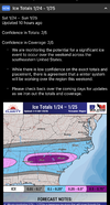
GSP Discussion: Significant Winter Storm, but who knows what where.

Key message 3: A potential winter storm system may impact the area
this weekend but details regarding precipitation amounts and type
remain uncertain. Confidence continues to increase that moderate
overall winter storm impacts could lead to hazardous travel and
power outages.

Focus turns to the potential winter storm this weekend and per usual
this is shaping up to be a messy forecast in regards to p-types
(this is the South after all). Timing appears to be late Friday
night into late Sunday night for now, although this is subject to
change. Majority of model guidance is on board with a wintry mix of
snow, sleet, and/or freezing rain. However, p-types will be highly
dependent on the timing of precip. If precip arrives later when the
cold air is in place, we could end up with mainly snow and sleet. If
the precip arrives prior to the cold air, then we will get a mix of
freezing rain, snow, and sleet. The 06Z GFS depicts less ice and
more sleet while the 06Z ECMWF depicts more ice and less sleet. The
12Z GFS is showing precip coming in slower compared to the 06Z
(after the cold air is already in place) and now shows mainly snow
and sleet. For now it appears that we have a high chance for warning
criteria snow, sleet and/or ice over the weekend. NBM shows the
probability of greater than 4" of snow/sleet ranging from ~20% to
50% across the South Carolina Upstate and northeast Georgia to ~50%
to 80% across most of western North Carolina. NBM also shows the
probability of greater than 0.25" of ice accumulation ranging from
~20% to 40% along and north of I-40 to ~40% to 60% south of I-40.
All this to say, confidence on p-types remains low but confidence of
getting warning criteria snow/sleet and/or ice accumulations is
increasing. Regardless of exact p-types and amounts, confidence
continues to increase that this system could lead to hazardous
travel and power outages. Make sure to stay up to date with latest
forecast information in the coming days as this is an evolving
system. Temperatures are expected to remain well below normal
through much of the weekend.


Key message 4: Dangerously cold wind chills may develop Monday night
into Tuesday morning which could result in hypothermia or frostbite
if precautions are not taken. Snowpack may linger through early next
week due to cold temperatures, which may keep travel issues and
power outages around.

Dry conditions return early next week but cold and well below normal
temperatures will stick around leading to the possibility of
dangerously cold wind chills as well as lingering snowpack Monday
night into Tuesday. If the current NBM trends hold, a Cold Weather
Advisory may be needed for the entire forecast area. Travel issues
and power outages may linger through early next week depending on
how much snow/sleet/ice melts. There is plenty of time for this to
change with this being towards the end of the forecast period so
make sure to stay up to date with the latest forecast information in
the coming days.
 
Has 12z weathernext model ran yet? I can’t view it on any of the sites I have. The AI models give somewhat of a nod to holding back the Baja wave longer which gives credence to gfs idea. I think a middle of the road option a little farther north than GFS makes most sense right now, but not as extreme as ukmet/cmc.
 
🇨🇦 before Gulf Coast Blizzard

View attachment 186421
🇨🇦 todayView attachment 186422

same timestamp

And dealing with a lot of similar features 🍿
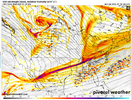
i like this for hopium mby reasons but am unsure if it works considering this was the look the GFS gave us 3.5 days out:

1768936627182.png

not looking at a big digging vort/trough down the stovepipe situation here, we're just trying to send moisture along the overrunning boundary/thermal gradient.

There may be something to the Canadian being too amped in general, but I am doubtful it leads you to Upstate SC glory like the GFS did
 
i like this for hopium mby reasons but am unsure if it works considering this was the look the GFS gave us 3.5 days out:

View attachment 186428

not looking at a big digging vort/trough down the stovepipe situation here, we're just trying to send moisture along the overrunning boundary/thermal gradient.

There may be something to the Canadian being too amped in general, but I am doubtful it leads you to Upstate SC glory like the GFS did
Agreed on that front. I think my gripe is more so with the uncertainty of cutoff location over the SW as well as how anomalous the airmass dropping down is. I think that’s where they’re most similar
 
I mostly lurk and enjoy following the board. Probably a banter post … I am rooting for sleet & snow for obvious reasons. However, there is one member here who, based on his posts, loves sleet. I am hopeful that @dsaur gets that sleet storm he is always hoping for!

With that said, with a deeper cold feed I am guessing the warm air must ride higher up? If so, then maybe more snow/sleet than ZR. I can at least hope. Either way … good luck @dsaur! May the sleet be deep!
Many thanks, my friend. I know I'm going to get my storm before I leave the mortal coil. I'm nearing 80, and I've seen some good ones, but this could be the topper....if it's more sleet and snow, than zr. As for zr, I hope I never even get close to Atl in 73, but to get sleet I have to dance with the zr monster..... thus is winter life, lol. Larry and I think the sleet in Atl in the late 70's was 2 1/2 to 4 inches, but this one could make that look like Tball compared to Major League bball. Here's hoping. I appreciate the kind wishes! Nothing is settled yet, but it's getting close, and I've never seen totals projected like these that weren't out in la la land.
 
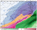
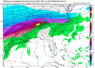
Just came in, and jumped north with thermos vs 6z but about the same as 0z, a very icy look still

View attachment 186423
For my understanding the "ice" here is anywhere below the red dashed lines (above freezing 850s) and North of the thick black curving line (the surface temp freeze line).

So hard to tell but looks like it's barely including ATL in there in the wedged frozen ice area. Wish SV included the county borders on the maps like pivotal/WxBell so I could tell.
 
We have pretty good agreement in the major ensembles...GEFS/EPS/EPS-AI area practically on top of each other and precip axis is fairly close too.

We can squint all we want about trends but this looks pretty good for being day 4 out, and really day 3 out for TX/OK.

For us in Raleigh a mix of snow/sleet/frzn seems likely and I really hope we can keep that front end snow but that might be iffy for Raleigh.

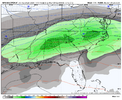
precipmean.gifSnowmean.gif
 
We have pretty good agreement in the major ensembles...GEFS/EPS/EPS-AI area practically on top of each other and precip axis is fairly close too.

We can squint all we want about trends but this looks pretty good for being day 4 out, and really day 3 out for TX/OK.
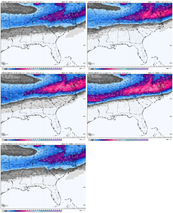
View attachment 186439View attachment 186440
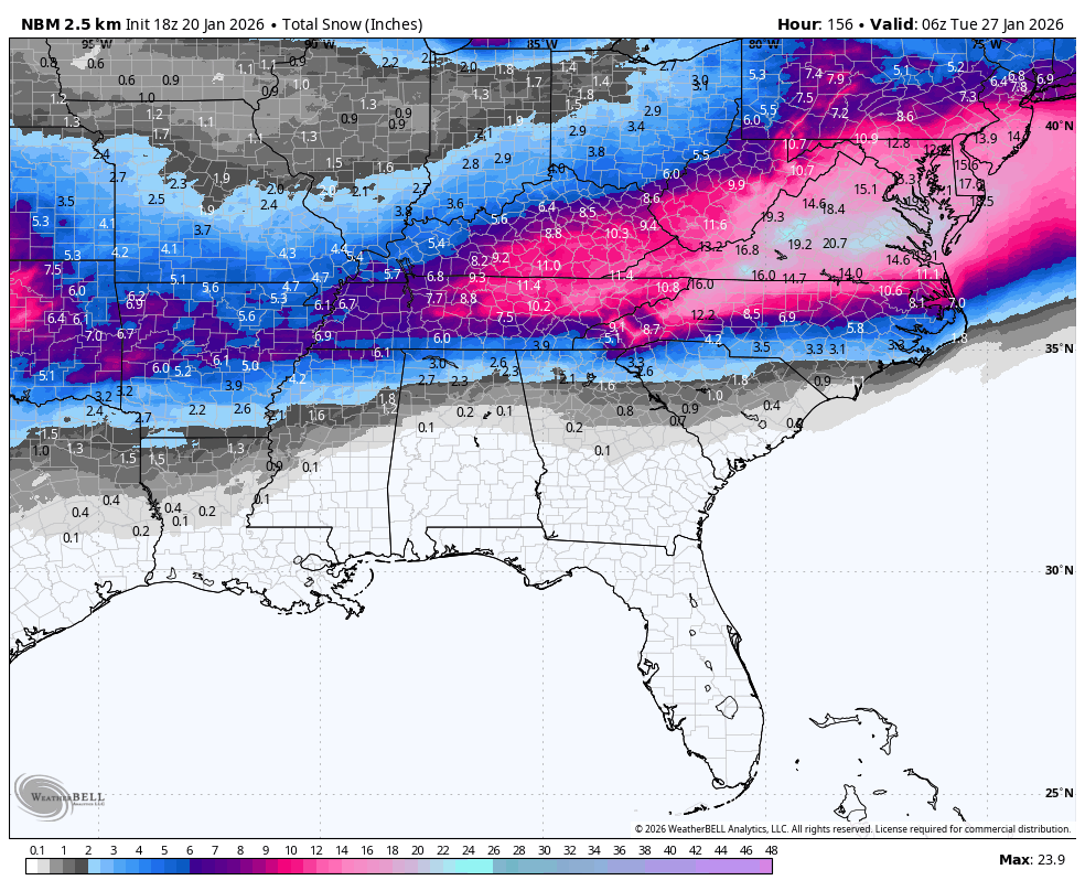
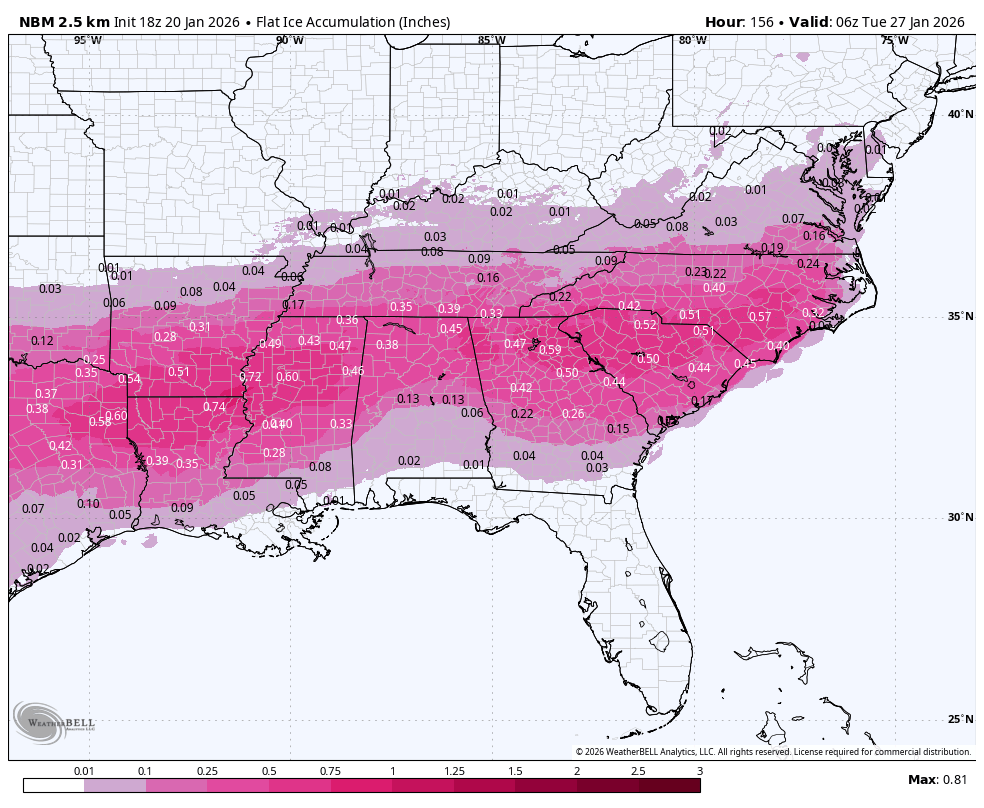
Looks good. Here's the latest National Blend of models:
1769493600-oapHLOjEG44.png

1769493600-Z14jG7Uyui4.png
 
Back
Top