• Hello, please take a minute to check out our awesome content, contributed by the wonderful members of our community. We hope you'll add your own thoughts and opinions by making a free account!

Wintry Jan 3-4 2024 System

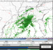
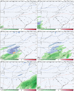
This one feels pretty dead! We will always have the 18z NAM yesterday

Maybe some flakes will still fly
Yeah, I think we all knew how NAM vs the world was gonna turn out. Those few NAM runs were fun to look at, but reality has set in that there will probably be no accumulating snow. But you’re right there still may be brief shot to see some flakes fly. Hopefully later in the month we will have something better to track that doesn’t fall apart.
 
It ain't over till it's over.

While the 12Z runs weren't encouraging, we've seen many times the precip shield overperform to the north with this type of system.

Not that any real accumulations are a realistic possibility given the surface temps and daytime timing, but I'd consider seeing snow flying here for the first time in far too long a win for the time being.
at this point of my life I could really careless... give me and the kids one big dog storm like 93 or 2010-2011 storm.
life's hard enough hoping for snow has dropped off my list
was it larry back in the day "love the weather because its the only weather you got"
 
at this point of my life I could really careless... give me and the kids one big dog storm like 93 or 2010-2011 storm.
life's hard enough hoping for snow has dropped off my list
was it larry back in the day "love the weather because its the only weather you got"
JB has been saying since the early 90's "Enjoy the weather, it's the only weather you got".
TW
 
Ya know, this is basically a textbook SLP location for a big winter storm for a lot of us. Too bad it isn’t really going to work out because there’s no cold air.

You would think a low hugging the coast would send precip up further North than middle GA
 
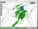
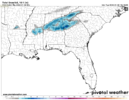
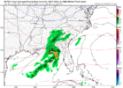
RGEM improved some too not a huge amount and RGEM is too warm but got now 1/10 inch of light moisture up into N.Alabama/N.Georgia for Overnight Wednesday
 
Even if there is precip that gets up into N GA, models are showing temperatures getting up toward 50 in the afternoon before that would move in. Hard to believe the temps could crash enough from that high
 
Even if there is precip that gets up into N GA, models are showing temperatures getting up toward 50 in the afternoon before that would move in. Hard to believe the temps could crash enough from that high
I mean it's a fringe event for sure but will be fun to track tonight and early models and the Meso Temp and Radar returns most likely a cold rain but for some parts on West side North of I-20 if moisture is better then projected and temps land on the lower side could get interesting
 
I mean it's a fringe event for sure but will be fun to track tonight and early models and the Meso Temp and Radar returns most likely a cold rain but for some parts on West side North of I-20 if moisture is better then projected and temps land on the lower side could get interesting
This is one of those times, like many others recently, where elevation may play a factor. The snowfall totals over the past several years from areas west of 985/85, and north of 20 are vastly different from those south and east. I doubt there is much to talk about with this one, but I guess we will see how much moisture is thrown back our way.
 
This is one of those times, like many others recently, where elevation may play a factor. The snowfall totals over the past several years from areas west of 985/85, and north of 20 are vastly different from those south and east. I doubt there is much to talk about with this one, but I guess we will see how much moisture is thrown back our way.
The system in Ft Worth right now is verifying further North than the models forecast so maybe we can see a flurry if that continues.
 
Yes, it will be. The atmosphere is extremely dry below 700 mb. -32 degrees celsius dewpoint at 850 mb ahead of the rain shield and relative humidity less than 10%. It's gonna eat up a lot of precipitation to saturate these layers.
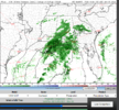
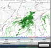
Yep..very dry...as low as -40c at 750 to 800mb. . If you looked at the composite reflectivity on the nam/4km nam/hrrr on the college of Purdue site we are going to have a monster virga storm so it might be quite painful. However those low wetbulb zero heights probably means there is a good chance that if anything does reach the ground it won't be all liquid or it won't be long before you see a mix..even with temps in the low to mid 40s.

Even with so little precip the nam drops everyone 8 to 10 degrees in 2 hours tomorrow afternoon. I hope there is enough..Those wild evap cooling events are cool to see.
 
Back
Top