NBAcentel
Member
A bit of an improvement and still have time for this to trend better
That’s a lot of energy on the backside of the trough. What else do we need for a Boom?Good grief dudeView attachment 113185
Certainly splits the difference in the gfs and the cmcA nod toward the GFS?
Sent from my SM-A115U1 using Tapatalk
More energy rounding digging on the SW side of the trough to help pull out south and try to slow it down or negative tilt OR the lead wave to leave something behind to phase. As the euro stands there are major BL issues and it's really just a anafrontal band where the h7 trough is trailing sfc to 850.That’s a lot of energy on the backside of the trough. What else do we need for a Boom?
Yeah, it looks like the trend so far today is for the northern stream energy to dig further south west which is a good thing. Hopefully, we get more positive trends over the next 48 hours. There's still lots of variability, but the best region looks to be north/central Virginia which could score in several different scenarios with the stream interactions.Huge differences between the Euro and RGEM at 84 hrs.
View attachment 113188
Euro has not reached a stable solution so we'll see where it lands.
View attachment 113190
bouncycorn had it right from the beginning. The volcano broke the GFSView attachment 113157
This is why unfortunately the GFS is probably wrong .. fun to look at though just probably wrong
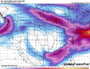
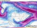
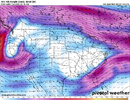
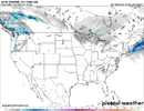
The good thing about the ukmet scenario is it would be high ratio powder with temps below freezing. I’ll root for that over the Ana front cold chasing moisture crap.It’s not a crush-job. but light amounts View attachment 113182
It's the NAM, but it had a surface low north of the Yucatan PeninsulaView attachment 113206
It’s a start
Lol it's handling this southern wave incredibly well and some people expect the models to be perfect at D7I could be wrong View attachment 113212
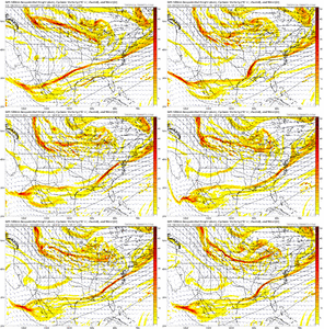
HmmmHH GFS clown for your entertainment:
View attachment 113216
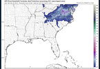
Yep, did alright here with it, I’m willing to try again better then nothing I guess, just really depends on where the best CVA sets up with the H5 N/S vortULT delivered this runView attachment 113217View attachment 113218View attachment 113219
Isn’t that what we had to rely on a couple weeks ago? And the gfs did horrible with it
For comparison sake, here's Bernie's snow potential mapGEFS more meaty with the ULT View attachment 113224

Same thing came to my mind. That one worked out for me. A weak ULL with marginal temps can occasionally overperform in my neck of the woods.This looks exactly like the "storm" we had 2 weeks ago
