NBAcentel
Member
Man that’s not far from something nasty, wedge boundary as well 


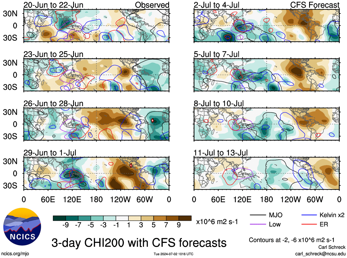
What are the odds this warmup extends past ChristmasCan kind of make out 2 quasi-distinct MJO waves in the Western Pacific in both the analysis + forecast fields through Dec 10 on the CFSv2. The first wave is north of the equator in the NW Pacific, having already developed a few days ago, whereas the second wave forms out of the South Pacific Convergence Zone (SPCZ) in a more classic manner for this time of the year, which is a big reason why you see models like the EPS showing the MJO completing a loop-de-loop in phase 6 through mid-month.
The GFS & CFS try to push the wave out into the Central pacific by the 3rd week of the month, but these models have a habit of progressing MJO waves far too quickly across the Maritime Continent & Western Pacific and I think they're a bit fast once again (& thus too fast w/ the pattern change away from the SE US ridge thereafter). Furthermore, the La Nina will help decelerate this MJO wave as the advection by the background flow (i.e. westerly jet stream) is weaker than usual, and enhanced convection underneath the ENSO standing wave over the Maritime continent will favor increasing amplitude of the MJO (again favoring even more warmth in the east-central US mid-month), which augments the downstream planetary wave pattern, also helping to slow the wave down (as those waves obtain higher amplitudes and tend to retrogress westward in the means). All of this points to an extended warm-up that could last through the 3rd week of the month (dec 14-21) and while we're talking pretty far out, confidence is higher than usual in the outlook during week 2 & may grow more w/ time for later week 2 outlooks once the models initialize a more amplified MJO wave. (which is supported by literature)
In fact the GFS already has some notable parametersMan that’s not far from something nasty, wedge boundary as well View attachment 96535View attachment 96536View attachment 96537View attachment 96538


Oooo I like give me winter hail so we can have some sort of ice in December lmaoIn fact the GFS already has some notable parameters View attachment 96539View attachment 96540View attachment 96541

ZeroWhat are the odds this warmup extends past Christmas
Nice jinxZero
I'll see you and raise you a dollar ...Zero
Give me a torchy Alaska, I’ll take my chances! Nothing like torching down here and watching AK have -30 temps and 100s of inches of snow!
At least we're only in the yellow and not the white in the middle of the red
This could end well given another week
just embrace the torch


I definitely am getting the impression that this will try to flip sometime during the last several days of December or early January, I'd personally lean towards the latter tho (early Jan), because the MJO tends to be slower in a La Nina (esp in the West Pacific) (for reasons mentioned earlier). The sub seasonal pattern looks ugly through at least the Winter Solstice (or ~ Dec 21), even on the often overly progressive CFSv2, so it's a very real possibility we're still warm right on into Christmas :/What are the odds this warmup extends past Christmas


We’re wasting away the best climo in a La Niña, maritime continent forcing in jan/feb becomes even more putrid, I’m ready for the 2 week period of winter in January followed by a SER and that’s what I’m holding my hope onAre y’all trying to weaponize the SER in the weather forum .. we get it it’s going to be warm we all thought December would be warm .. we got faked out here and there for a time but aside from some wudges we going to be warm for December .. this ain’t peak climo anyway so it’s not a huge loss as we are used to the warm and slow start to winter as most every winter aside from the December 8 storm a while back has been the same. Let’s talk potential for rain and severe weather and not oh look at this slap in the FACE!, winter canceled, golf course at Christmas?, next , looks like it’ll never end!, is this may?, 2011, we all knew this was coming kick can!
March will deliver. Mark my word.We’re wasting away the best climo in a La Niña, maritime continent forcing in jan/feb becomes even more putrid, I’m ready for the 2 week period of winter in January followed by a SER and that’s what I’m holding my hope on
That, Sir, is a great post!I just noticed that GSP has CLT forecast to tie a record high of 75 on Friday. The record is from 1998 and in looking at that year I found some very interesting correlation to this year. It was a LaNina and the fall had been very similar to this year with an average September, very warm October, and cool November. December’s pattern was much like the very warm pattern we’re expecting the next 2-3 weeks., but it flipped right around the 21st, there was a significant ice storm for NC and the SC upstate that ended as a dusting of snow on Christmas morning. After a brief moderation, there was another ice storm right after New Years followed by a fairly cold couple of weeks then another warm stretch the 2nd half of January and the first week of February. Then the pattern turned quite cold after that with several winter weather events outside of the mountains into early March.


Just trying to point that winters can have total torch fests but still ended up decent. I’ve often said take away January 6-8, 1988 and that winter would maybe have been an all-time bust, instead most people that can remember it would say that was a very good winterThat, Sir, is a great post!
It's weather ...Just trying to point that winters can have total torch fests but still ended up decent. I’ve often said take away January 6-8, 1988 and that winter would maybe have been an all-time bust, instead most people that can remember it would say that was a very good winter
")


Ive never seen more than a trace of snow here in December (1995-2001, 2012-2021). I may be off in the 90s, can't remember exactly. Probably different for people north of the wall.We’re wasting away the best climo in a La Niña, maritime continent forcing in jan/feb becomes even more putrid, I’m ready for the 2 week period of winter in January followed by a SER and that’s what I’m holding my hope on
I think you’re forgetting December 27th 97Ive never seen more than a trace of snow here in December (1995-2001, 2012-2021). I may be off in the 90s, can't remember exactly. Probably different for people north of the wall.
I could be. Got a map?I think you’re forgetting December 27th 97
With a high sun angle, warm ground and warm boundary layerMarch will deliver. Mark my word.
Must be this. Got an inch (maybe here)I think you’re forgetting December 27th 97


Cool. Southernwx forum correct? I mean it’s some cool wx history but post this on the Midwest forum. Mods please delete.Would love a repeat of this! Kicked off a good winter I’m assuming! The -40 to -60 windchills seem fun!View attachment 96568View attachment 96569
Cool. Southernwx forum correct? I mean it’s some cool wx history but post this on the Midwest forum. Mods please delete.

