Sun's out guns out here.A slight risk covers a good bit more of NC now. 2 rounds of storms possible wherever the warm front sets up.
-
Hello, please take a minute to check out our awesome content, contributed by the wonderful members of our community. We hope you'll add your own thoughts and opinions by making a free account!
You are using an out of date browser. It may not display this or other websites correctly.
You should upgrade or use an alternative browser.
You should upgrade or use an alternative browser.
5/4-6 possible severe wx
- Thread starter NBAcentel
- Start date
-
- Tags
- severe weather
Jessy89
Member
I believe we get a Tornado watch today. This one will get ugly with the sun out
Sent from my iPhone using Tapatalk
Sent from my iPhone using Tapatalk
ESE to SE wind too. Wonder how much we can raise dews todaySun's out guns out here.
smast16
Member
where you boys getting this sun? Socked in clouds today.
Last edited:
Jessy89
Member
It’s already 70 bright sunshine upstate sc. this can’t be good
Sent from my iPhone using Tapatalk
Sent from my iPhone using Tapatalk
LickWx
Member
Yall are a tad SW of me and you got sun? You tell me there is hope or am I going to watch southern wake and Harnett county soar into the 70s and near 80 while RDU stays socked under clouds and 60. I've seen it happen before now, where yall were far warmer than RDU so until its sunny here I have no faith we even hit 60 again.ESE to SE wind too. Wonder how much we can raise dews today
I see full blue sky to the south, it's a little more filtered here. Up to 63Yall are a tad SW of me and you got sun? You tell me there is hope or am I going to watch southern wake and Harnett county soar into the 70s and near 80 while RDU stays socked under clouds and 60. I've seen it happen before now, where yall were far warmer than RDU so until its sunny here I have no faith we even hit 60 again.
Cold 53 with showers. 40s nearby mountains. I’m guessing boundary will be south of me a few counties.
LickWx
Member
Interesting, already up to 62 again at RDU as well which is 2 higher than our forecast high. Winds are even out of the E/ ESE which is hopeful. Heres hoping for mid- upper 70s. Lets get us some storms boys.I see full blue sky to the south, it's a little more filtered here. Up to 63
Last edited:
Lot of heavy rain NC/VA border. That could influence the boundary or delay it’s movement north out of the Charlotte region.
smast16
Member
SHower here. Feeling this is going to help lock this boundary in place.Lot of heavy rain NC/VA border. That could influence the boundary or delay it’s movement north out of the Charlotte region.
SPC has the slight risk just to our south. 12 hrrrrrrrrrr had the complex just to our south as well. Not a lot of margin for error. 20 miles north is doable.ESE to SE wind too. Wonder how much we can raise dews today
NBAcentel
Member
I wanna bet there gonna be a near baseball size hail report today
3K says elevated hailers incoming. Really not a bad look, I wouldn't be surprised to see some severe reports north of the slight today in the cooler sfc air. I think our threat is wind/hail unless whatever gets going stays discrete and can get down to the sfc.SPC has the slight risk just to our south. 12 hrrrrrrrrrr had the complex just to our south as well. Not a lot of margin for error. 20 miles north is doable.

Decent swath of lightning coming out of Tennessee but running into temps in the 40s. But could act as a trigger for western NC.
Last edited:
Trusty car thermometer showing 65. Full clouds now, though.3K says elevated hailers incoming. Really not a bad look, I wouldn't be surprised to see some severe reports north of the slight today in the cooler sfc air. I think our threat is wind/hail unless whatever gets going stays discrete and can get down to the sfc.
View attachment 40962
The heat is on down here in Charleston. Reached 91 yesterday, will be 89 today. Charleston's average first 90 degree day is May 4th, so yesterday was right on schedule.
67/64 mix of cloud/sun
Multiple storms firing in western NC where morning rain was passing just north.
njbarrineau
Member
Partly cloudy, warm, and humid here in Travelers Rest. I think today may be an interesting day...moving the cars into the garage for sure.
Sent from my iPhone using Tapatalk
Sent from my iPhone using Tapatalk
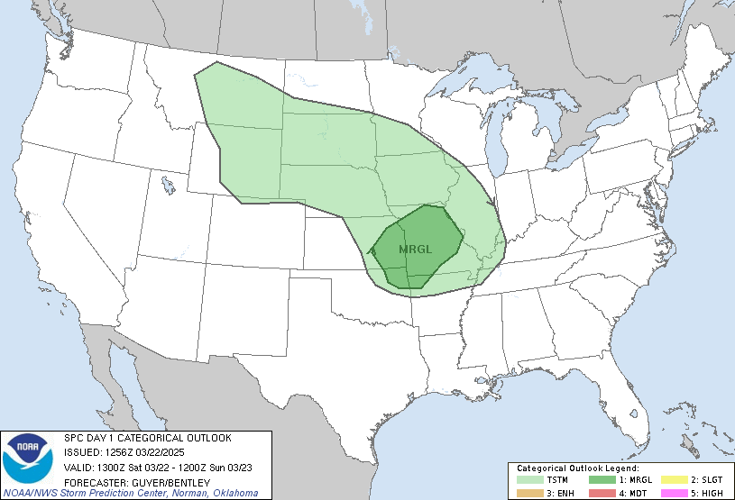
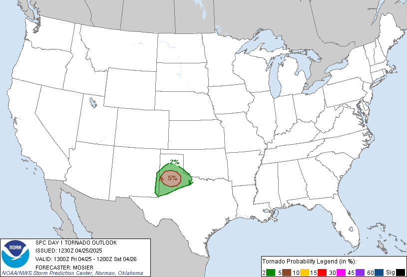
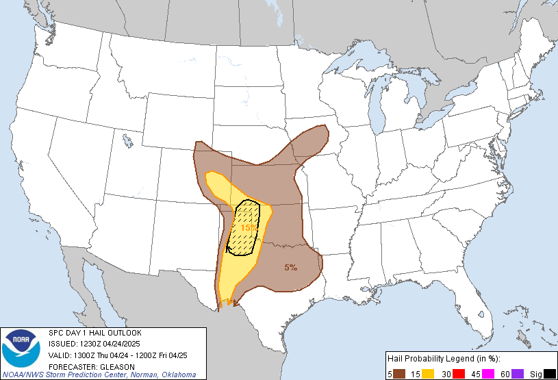
Expanded slight risk at 1300


67/53 mostly sunny now but winds are due E riding the warm frontTrusty car thermometer showing 65. Full clouds now, though.
areas between Asheville and Hickory are now in the upper 60s. Compared to Boone and Wilkesboro mid 40s to 50. May be some action for the central foothills around Asheville IMO today East to Shelby NC.
Webberweather53
Meteorologist
Webberweather53
Meteorologist
These updraft helicity probs on the HREF are impressive to say the least. Environment definitely supports isolated tornadoes along the warm front, looks like the US HWY 74 corridor will be targeted (yet again)
View attachment 40966
Yikes!
Webberweather53
Meteorologist
Yikes!
Yeah, I haven't seen probs that high in a long time around here.
Webb, is this gonna look like those supercells we had a while back? Haven't really been watching models on thisSolid large-scale environmental forecast sounding on the HRRR, equally supports all severe hazards across today's slight risk, w/ a heightened threat for tornadoes along the warm front.
View attachment 40968
smast16
Member
HRRR is too warm for MBY. The 11am run initializes at 56 which is right, but has me at 62 by noon, and it's still 56 here. Then it has me at 67 by 1pm and I can guarantee that isn't happening.
One thing of note and maybe @Webberweather53 can chime in, is that clouds appear to be back building a bit after some morning sun. I'm guessing the clouds will retreat north as the afternoon progresses?
Webberweather53
Meteorologist
Webb, is this gonna look like those supercells we had a while back? Haven't really been watching models on this
These supercells will lean towards classics over low precipitation supercells that we saw a while back. Shorter hodographs, higher deep layer relative humidity, and cyclonic curvature in the lowest 3km will result in not only more precipitation, but more of it getting wrapped around the mesocyclones
Webberweather53
Meteorologist
One thing of note and maybe @Webberweather53 can chime in, is that clouds appear to be back building a bit after some morning sun. I'm guessing the clouds will retreat north as the afternoon progresses?
Warm advection and isentropic upglide are to blame.
Prob won’t matter much since upstream obs are ripe for thunderstorm development. It’s all going to get funneled through the Asheville area due East...similar to SPC slight area I would agree with.HRRR is too warm for MBY. The 11am run initializes at 56 which is right, but has me at 62 by noon, and it's still 56 here. Then it has me at 67 by 1pm and I can guarantee that isn't happening.
So we could see supercells in upstate SC twice in two weeks? lolThese supercells will lean towards classics over low precipitation supercells that we saw a while back. Shorter hodographs, higher deep layer relative humidity, and cyclonic curvature in the lowest 3km will result in not only more precipitation, but more of it getting wrapped around the mesocyclones
where you boys getting this sun? Socked in clouds today.
Other than some intermittent mid/low level clouds, it's been mostly sunny here.
Webberweather53
Meteorologist
So we could see supercells in upstate SC twice in two weeks? lol
Oh we've had them more than twice! Yesterday was another day w/ classics
BufordWX
Member
80/67 here right now. Not sure if I will get something later, but I saw the Hrrr wants to form a few storms nearby. Will be interesting to watch later.
mbway091
Member
Raining here in Greensboro and the latest HRRR looks like it's way too warm. We should be hitting 65 in 30 minutes. It's 55 where I am so we've got a lot of catching up to do there.


