SimeonNC
Member
Not Brick but someone had to start the thread lol
Sent from my Z983 using Tapatalk
Sent from my Z983 using Tapatalk
")
With some maps showing this thing going negative tilt in SC, I would highly doubt that run of the FV3.The FV3 is out of it's mind geezz. Wish it'd verify the way it looks but I doubt it.
What happens if it go Neg Tlit?With some maps showing this thing going negative tilt in SC, I would highly doubt that run of the FV3.

Was hoping a met would comment on it, but moderately warmer air from the SE would surge northward.What happens if it go Neg Tlit?
Warm Air Advection from the coast of Carolinas.Was hoping a met would comment on it, but moderately warmer air from the SE would surge northward.


Yes, and it would also eliminate that Miller B'ish transfer that was shown earlier.Warm Air Advection from the coast of Carolinas.
I’m not a met, but going negative tilt can be a great thing in winter storms depending on when it happens. There is often significant strengthening and the low starts moving more northerly.With some maps showing this thing going negative tilt in SC, I would highly doubt that run of the FV3.
Absolutely Jan 2000!!!!!!I’m not a met, but going negative tilt can be a great thing in winter storms depending on when it happens. There is often significant strengthening and the low starts moving more northerly.

 The gfs fv3 was even close for snow in north Alabama and Mississippi. It has temps between 33-35 degrees. About 4-5 degrees cooler then the previous run.
The FV3 looks so crazy.
CAD extending pretty far east.View attachment 7948 The gfs fv3 was even close for snow in north Alabama and Mississippi. It has temps between 33-35 degrees. About 4-5 degrees cooler then the previous run.
Real in it on in guys. So close for many of us on here. Little more south with the low and we will be golden!!! 6-7 days away now plenty of time.
No way this is possible. CrazyThe FV3 looks so crazy.
The 12z Euro is about to run while the 18z runs at 4:30.When do the next suites come in?
I think the snowfall amounts in southern and eastern ga is overdone but places like Columbia SC could definitely be in place with a good classic wedge. That’s when Columbia SC see good winter storms with CAD in full effect.No way this is possible. Crazy
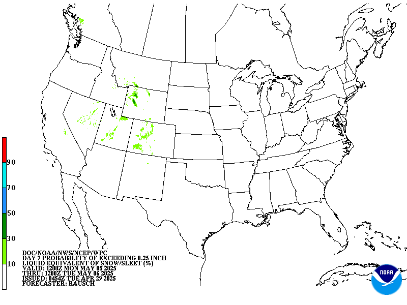
That's not Brad's map ....... It is from NOAA WPC 7 day winter prediction.If this storm verifies and thermal profiles are as modeled, Brad P is way underdoing his probability map.
What about Athens area?I think the snowfall amounts in southern and eastern ga is overdone but places like Columbia SC could definitely be in place with a good classic wedge. That’s when Columbia SC see good winter storms with CAD in full effect.
That map he showed is an automated map from the national weather service.If this storm verifies and thermal profiles are as modeled, Brad P is way underdoing his probability map.
believe..... believe....This map ain’t happening but it’s a good look a week out.
Sent from my iPhone using Tapatalk
On soundings looks like an onset of snow. Then there is some WAA around ~850mb taking temps above freezing at that level, and below freezing again around 950mb to the surface. Verbatim probably snow changing to a mixed bag. However, on soundings the surface temp stays below freezing the entire event so if you changed from snow it would be a nasty icing event.What about Athens area?

