• Hello, please take a minute to check out our awesome content, contributed by the wonderful members of our community. We hope you'll add your own thoughts and opinions by making a free account!

Tropical Tropical Storm Cindy

Can't seem to post the satellite image but it does look as Cindy is slowly moving north/northeast. I honestly think the track is little to far west, I believe this could possibly possibly possibly be a central/east La landfall.
 
Can't seem to post the satellite image but it does look as Cindy is slowly moving north/northeast. I honestly think the track is little to far west, I believe this could possibly possibly possibly be a central/east La landfall.
Post the link, then!
 
Can't seem to post the satellite image but it does look as Cindy is slowly moving north/northeast. I honestly think the track is little to far west, I believe this could possibly possibly possibly be a central/east La landfall.
Don't be deceived. This storm is weird. It moved South from advisory 4A to 5, but since formation has moved generally NW.
 
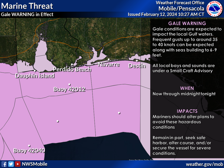
Strong wording from the NWS in Mobile:

image7.png
 
Not saying its not heading in NW motion but ATM its clearly a north slight Northeast movement. Trust me I'm not wishcasting, Lol!!
Yeah, it's been moving strangely. I think that if it keeps stalling, it will shift the track further West, but press its remnant moisture south. It may also make it stronger.
 
Not saying its not heading in NW motion but ATM its clearly a north slight Northeast movement. Trust me I'm not wishcasting, Lol!!
From what I've seen, the storm has been making one big loop today. In fact, a lot of models (like the HWRF) have picked up on the center of the storm doing a lot of loops and wafting around while gradually moving to the NW. The current (temporary) NE-ward movement does concern me though, because it's moving away from the shear to the west and towards the heavier convection/moisture feed. If some convection manages to fire near the center of circulation, it may be able to strengthen and organize more before resuming its NW track.
 
27a385e05cf1ef4a6a00261d7be7ee5e.png


Sent from my iPhone using Tapatalk
That does indeed look a good bit better than the 12z run. This run slams Al, central Tenn and extreme northern GA. The center itself goes up into Ark before dissipating.
 
Hrrr is advertising a rainy night here not big totals but .5 or so. Would be nice to go along with the 3.5 we have in the last week....posting this here since it's kinda part of the moisture stream

Sent from my SM-G928V using Tapatalk
 
Last edited:
Hrrr is advertising a rainy night here not big totals but .5 or so. Would be nice to go along with the 3.5 we have in the last week....posting this here since it's kinda part of the moisture stream

Sent from my SM-G928V using Tapatalk
Over 3" last night I'm tapping out... I may be one of the few hoping for dry weather here

Sent from my SM-G920V using Tapatalk
 
Over 3" last night I'm tapping out... I may be one of the few hoping for dry weather here

Sent from my SM-G920V using Tapatalk
yeah that stalled out frontal boundary coupled with the moisture fetch from tropical storm Cindy is sure doing the work in and around Atlanta. up to five inches this morning in parts of Atlanta. .
 
Lookout for gulf coast convection robbing moisture transport ! :)
 
At this trajectory, it looks like it's gonna make landfall in Louisiana but we'll see

Edit: Nvm, it's headed towards Texas

rb-animated.gif
 
Last edited:
At this trajectory, it looks like it's gonna make landfall in Louisiana but we'll see

Edit: Nvm, it's headed towards Texas

rb-animated.gif
actually its still little north movement slightly west, if that track continues I say central LA
 
Back
Top