Larry Cosgrove
unread,
4:41 AM (3 hours ago)
to
[email protected]
EXTENDED PERIOD FORECAST
(Between Day 11 And Day 15)
Increasing Siberian Snow/Ice Cover. Stratospheric Warming, Repeated High-Latitude Ridge Development. And Just Where Is The Famed El Nino Southern Branch/Pineapple Express?
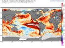
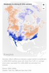
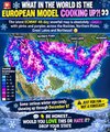
As many of you know by now, the "Super El Nino" weather gods had late fall and winter already mapped out, with cries of "warmest winter ever" and "no named storms". Of course that kind of extreme talk is proving unlikely to verify, mostly because the very warm Equatorial Pacific Ocean is NOT the only determinant in creating apparent weather and some inevitable quirks in the global pattern are showing us that this season is in many ways different than the climatology of high profile +ENSO episodes.
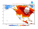
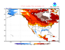
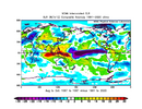
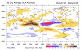
The unusual cold and storminess in the Southern Hemisphere is telling us that rather than the normal fall/winter orientation of energy and moisture into areas above the Equator, systems below the central latitude line are linking with the Madden-Julian Oscillation and other tropical features. Conversely, the Northern Hemisphere was largely left to drier, hotter results (still going on in North America) despite the many cases where the 500MB flow would be laden with shortwaves and thunderstorm production could be quite high. At some point, with the sun angle dropping and the ground losing heat, surface temperatures will start to drop. But for that to happen, we need to see an increase in storms at low latitudes as well as blocking signatures close to and above the Arctic Circle in Alaska, Canada, and Greenland.
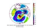
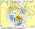
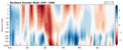
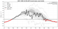
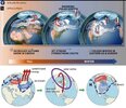
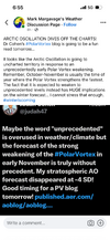
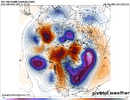
And that could happen, given that most of the numerical model guidance shows a significant stratospheric warming event. At 10MB, distortion of the temperature and height anomalies would favor a very strong ridge and warming from the North Pole to the Arctic Circle on the American side about two to four weeks after November 10. Keep in mind that the downstream and lower level changes are
always delayed; a mistake often seen is that viewers of the higher-latitude Canadian warming think that cold drainage to the south and east of the imprinted 500MB ridge is immediate.
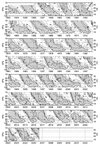
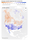
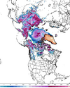
We need to lay down some serious snowfall in Siberia and build the ice cap over the Arctic waters. So far, every location in the Northern Hemisphere to the polar regions has been routinely mild or warm. Typically, the snow cover expands south and north out of Russia. There are signs that the "first step" in creating a new cryosphere is beginning:
Current Progress & Timeline
- Early October: Snow advance trailed slightly behind normal historical ranges due to initial mild conditions.
- Mid-to-Late October: A dramatic expansion across Siberia and core Eurasian sectors caught up quickly, moving snowpack levels to near-to-above the historical October average.
- Ranking: Projections from the European Centre for Medium-Range Weather Forecasts (ECMWF) place this late-month snow acceleration roughly in the top 15% for the last three decades.
Atmospheric & Winter Implications
- Siberian Snow Influence: Rapid October snow growth across Siberia is actively monitored by meteorologists as a potential driver for the Arctic Oscillation (AO), the Siberian High, and the stratospheric polar vortex later in the winter.
- Broader Context: While robust Eurasian snow signals can favor colder patterns in parts of the Northern Hemisphere, forecasters note that it interacts with an active El Niño footprint, leading to a mixed regional outlook rather than a single guaranteed winter outcome.
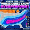
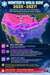
I do not think that we will see the traditional, 66% chance of a hyper-split flow this fall and winter. And with a storm track that starts first in southern Canada, and gradually shifts into northern Mexico, the Deep South and then to just left of the Gulf Stream. conditions will change gradually to a cold/stormy alignment in the last week of January through most of March. Until then, relative warmth and occasional liquid precipitation will rule across much of the lower 48 states.